
"Bamboo Creek" - "Emerald Forest"/"Upper" Section
|
Section Length: ~ 3.5 km
Put In: Below Ho Dong Nghe Dam Take Out: An Chau Bridge |
Difficulty: Class II+ (V) (P)
Est. Flow: too low < 200 cfs < too high < 1,500 cfs (?) Paddlers: Kit Davidson |
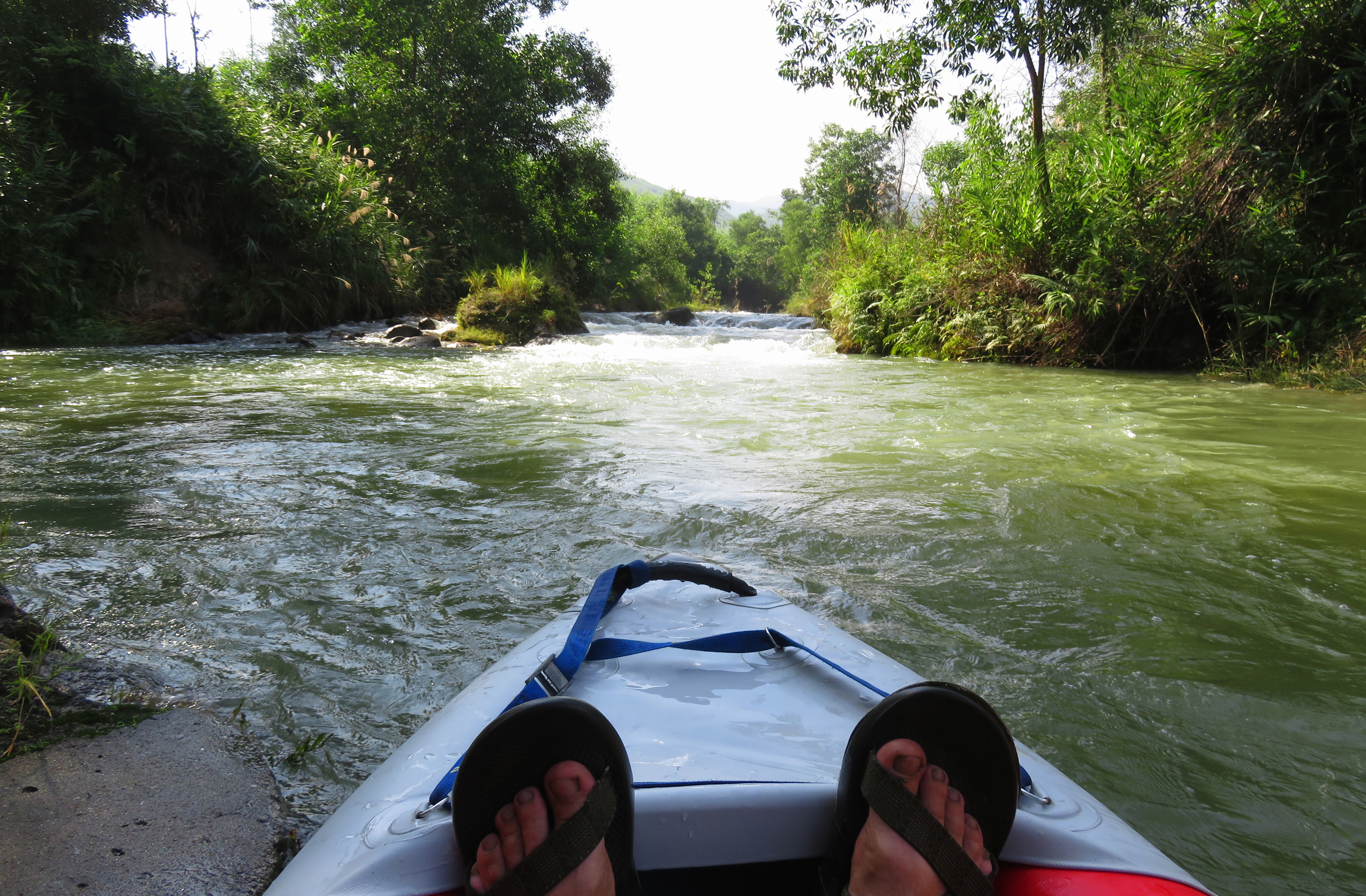
Looking downstream at Toilet Bowl Rapid.
"Bamboo Creek" drains the very eastern-most valleys that descend out of the "Charlie Ridge" mountain range west of the city. The beautiful reservoir of Ho Dong Nghe is the highest possible put in for this run, and when the reservoir is spilling is when you will find water in this rare stream. Most of the time this stream runs about 3 meters wide and knee deep, but during periods of rain, especially prolonged rain, this stream can run with a surprising amount of water, providing an interested paddling experience. This stream can be run down to impressively low levels too, thanks to its sandy riverbed, but the lower you go the more adventure you open up to. For the "Lower" section downstream, click here.
Open section of Upper Bamboo Creek.
Upper Bamboo Creek is not a classic stream. It has an odd character, and the riverside vegetation can at times seem more hostile and refusing than it does on other rivers. However, there are some fun rapids, and thanks to its ability to run at low levels, this stream is still worth a go every once in a while. It is also amazingly quiet in some places, and the bird watching is outstanding. It is best to combo this with the Lower section to get a full day of paddling, and while this stream will never be a classic, it isn't as bad as it could be.
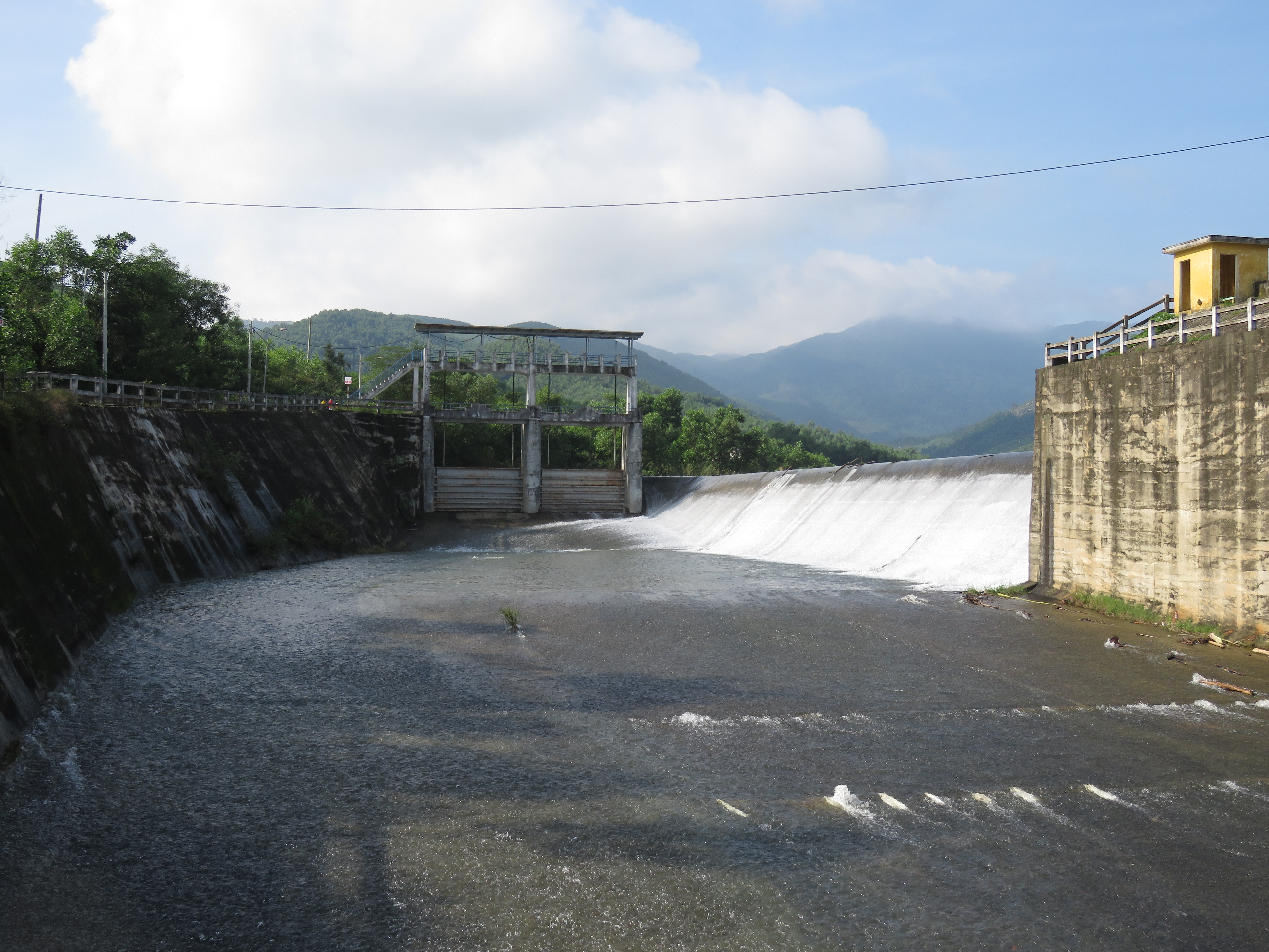
Top of spillway, which looked good to go.
The character of the run is a bit strange; the first 500 meters is full on, and has a negative energy and character to it, and the rest is forgiving and enjoyable class II. It starts out with a good looking slide down the spillway, right out of the reservoir, which leads down a nice slide to a nice looking playwave below it. However, after a short moving pool below the wave, the creek falls over a 4 meter, riverwide, artificial waterfall. There is no exit or escape from the final pool, which is a damn shame because most of it does look good and fun. As well, because the spillway has concentrated erosion immediately below it's structure, the river has carved a narrow stream channel out of the former valley bottom for the first 500 meters of the run, which is in contrast to the more open, broad stream channel below it.
Artificial falls at the bottom of the spillway structure.
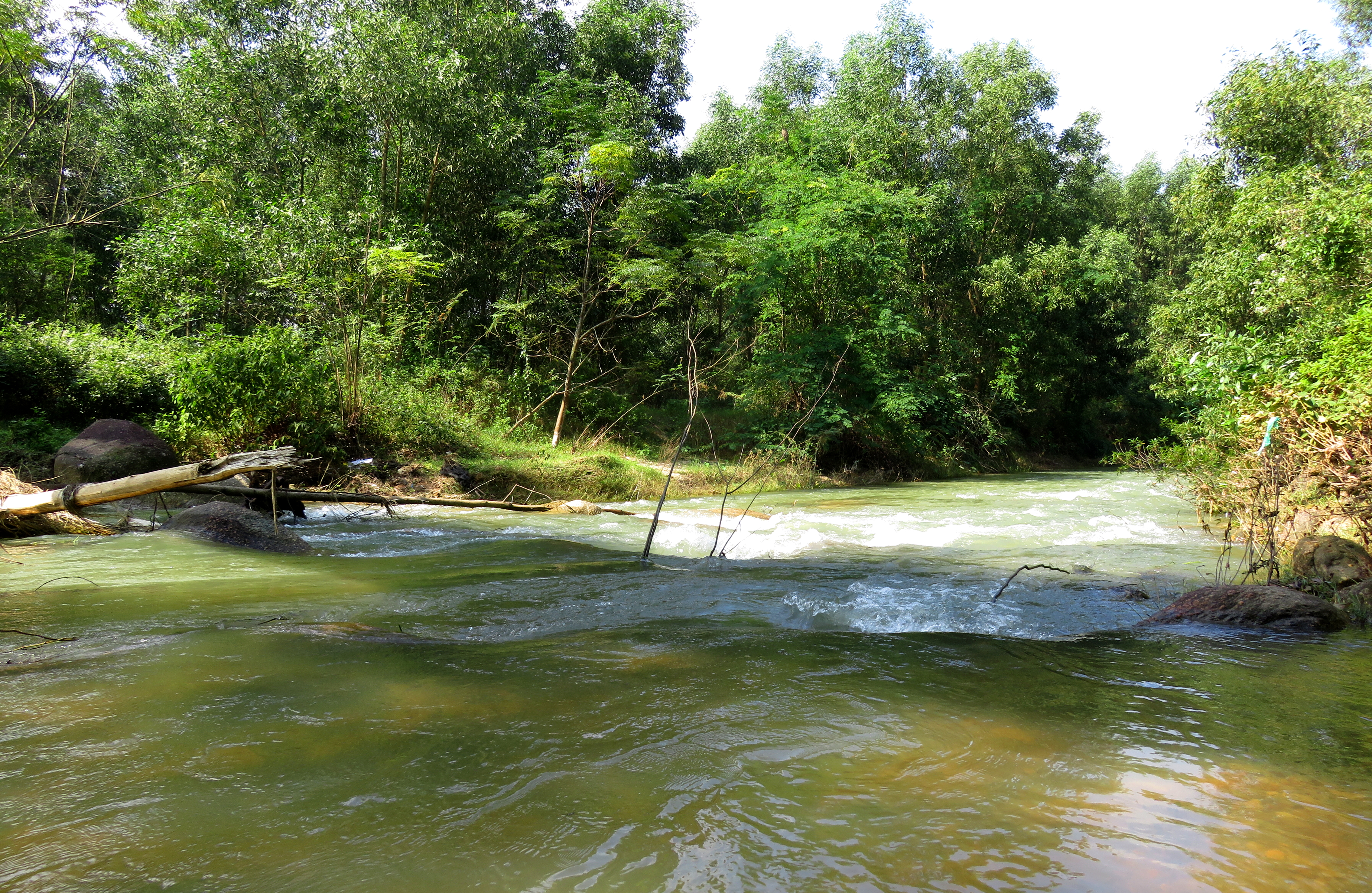
After exiting the spillway structure in dramatic fashion, the river falls through a large and junky cascade. The dirt gorge on either side of this rapid is a testament to the firehose effect the spillway's flood releases have had on the local stream channel- it has simply blasted its way into the earth over the last couple of decades, and now that it has reached bedrock it has formed some chunky and manky drops that have a surprising amount of vertical drop. If you are planning on running this drop please scout (best on river right) and set safety and have an idea of what you are doing. This is a fairly ugly drop.
Ugly first rapid. It's hard to see but there is a 2 meter drop in the middle of that.
In addition to being low quality, this rapid also presents a bit of problem for putting on for this stream. The sides of this semi-recent mini gorge are very overgrown, and the access to river level is very limited. It is possible to put in just below the end of the spillway structure on river left, and then portage this first rapid on the right, but its not the easiest. A better option is to go down the road about 100 meters, look for a fenced-off area of trees on the left side of the road, and look for an opening in the fence. A faint but definite path leads down to the river. Its not the most carefree put in but it does work to bypass the crap upstream and is much easier and low stress.
Looking upstream at the lower put in....
|
...and looking downstream at Rooster Rapid.
|
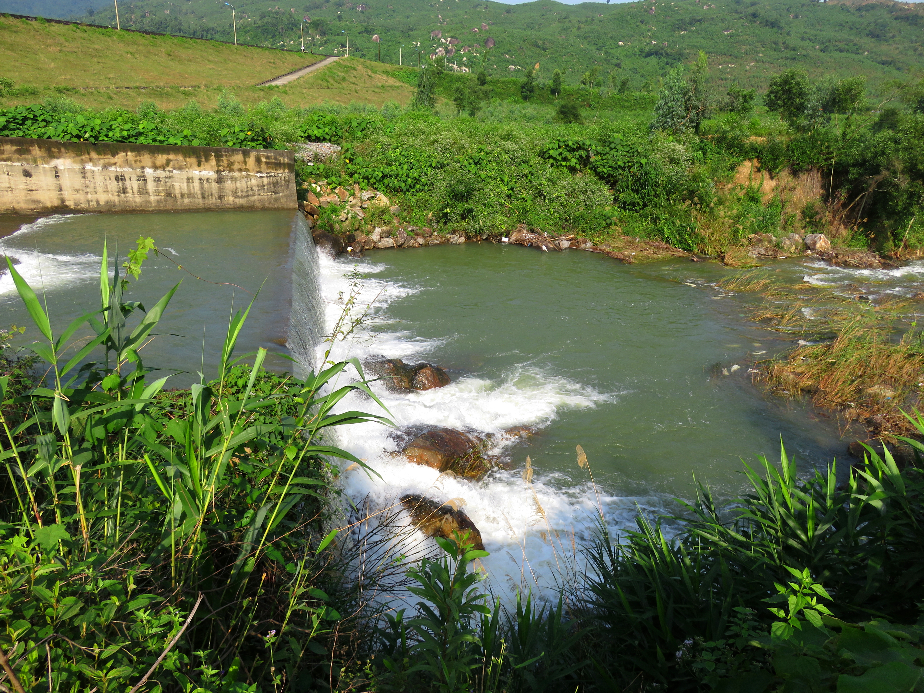
Once at the stream, there is a short and fun class II+ rapid just downstream called "Rooster Rapid". It is a two part affair that can either be manky at low flows (portage right, down the right channel), fun at most flows (left is easiest and best, center-to-left is spicy but ok), and somewhat scary at flood volume, as the 1st hole can be retentive. Immediately below this on river right are about 500 chickens, thus giving the rapid its name. There is also a nice tiny ledge that offers up a good, but very shallow, play spot just below the rooster farm too.
Rooster Rapid, with clean lines on the left, and a zesty center-to-left move.
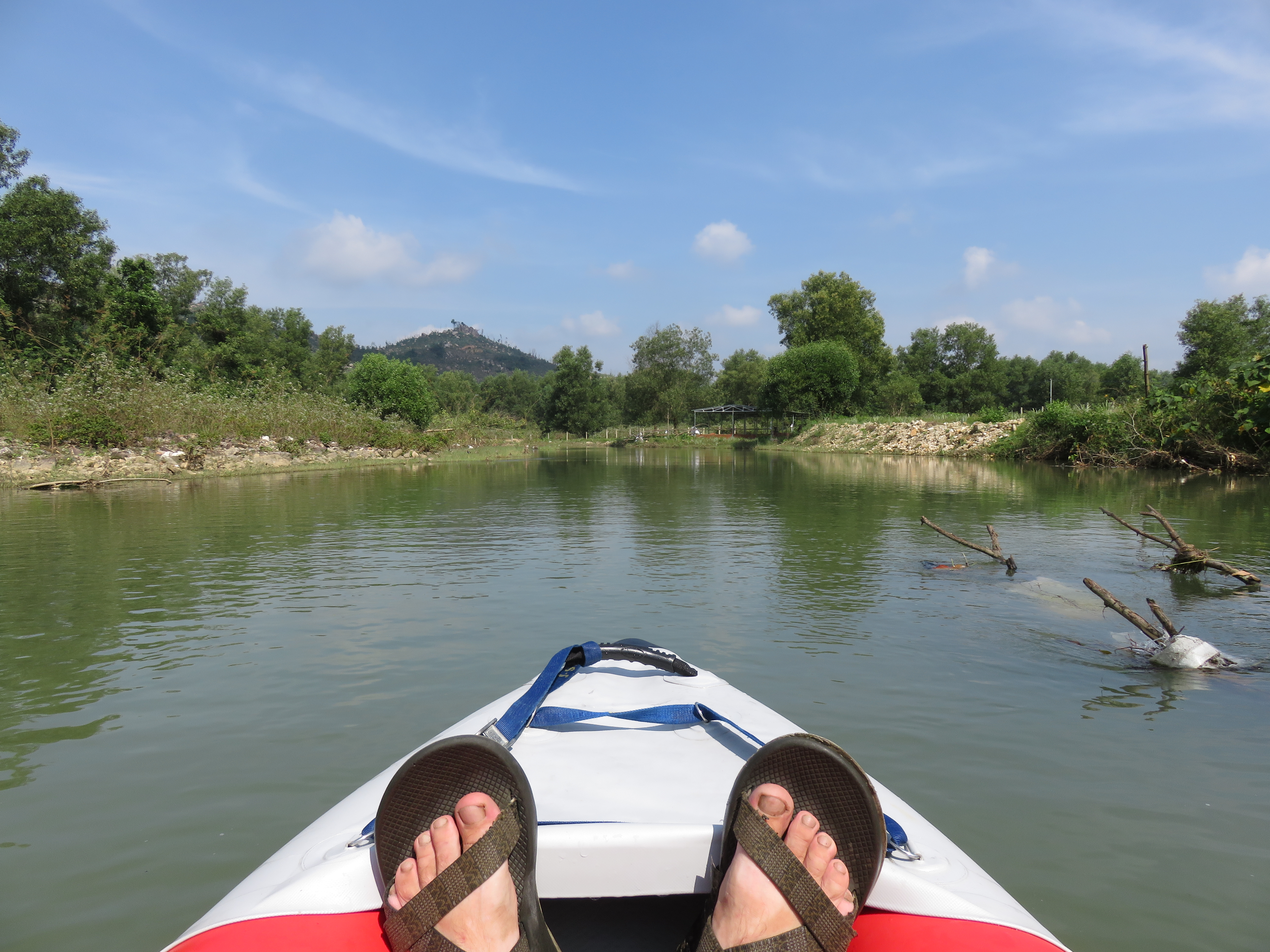
Quick picture after running Rooster Rapid.
|
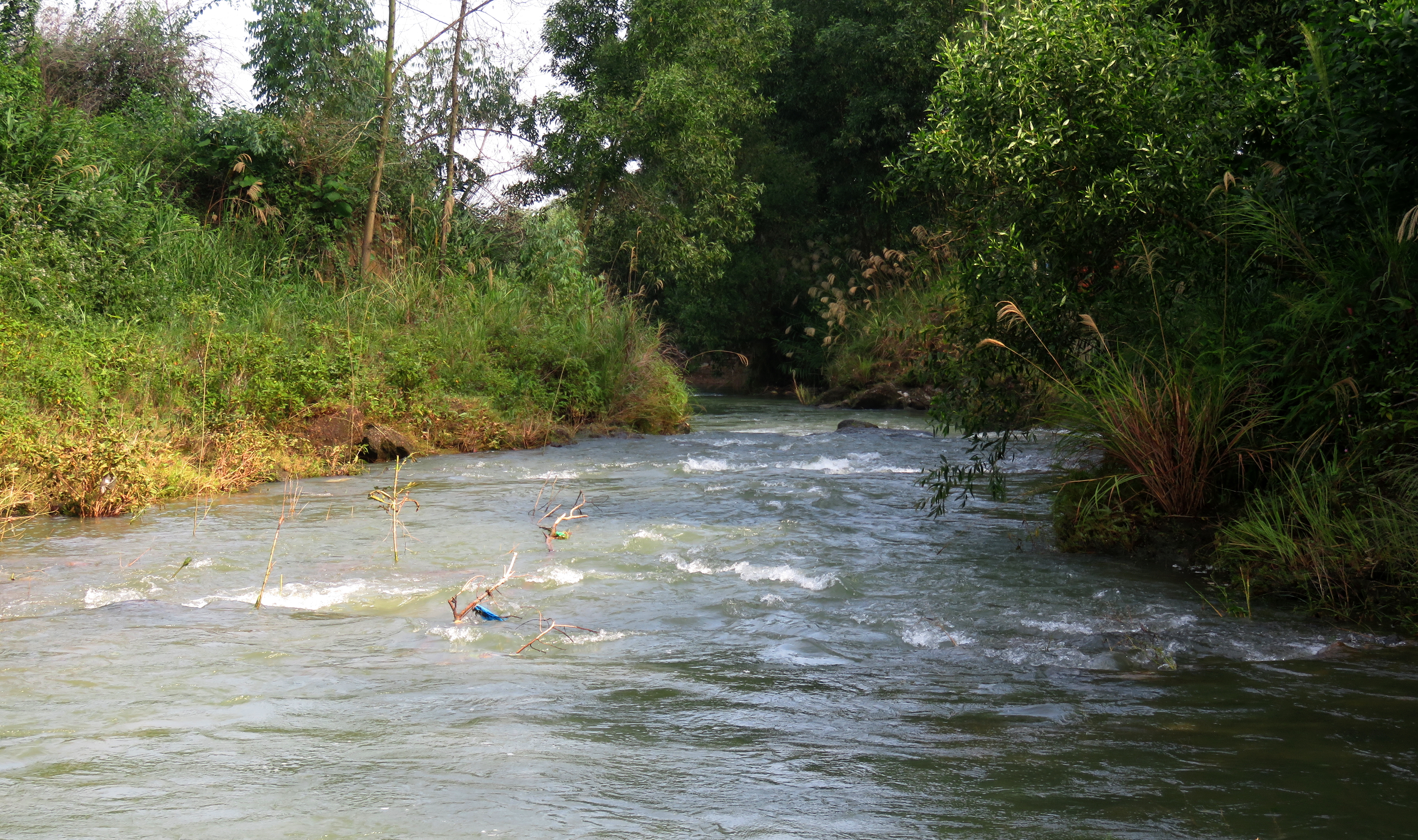
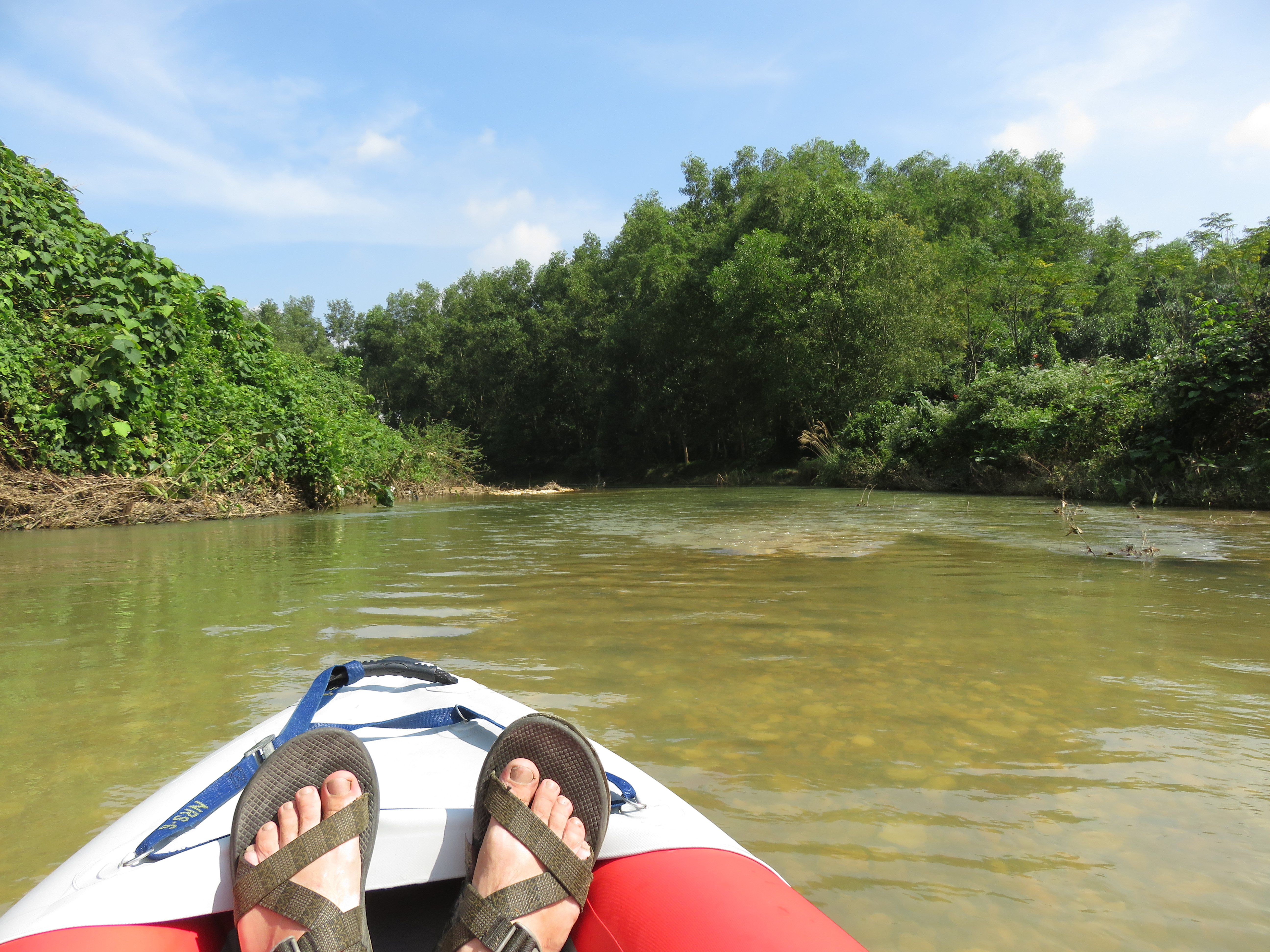
Small waves and open views.
|
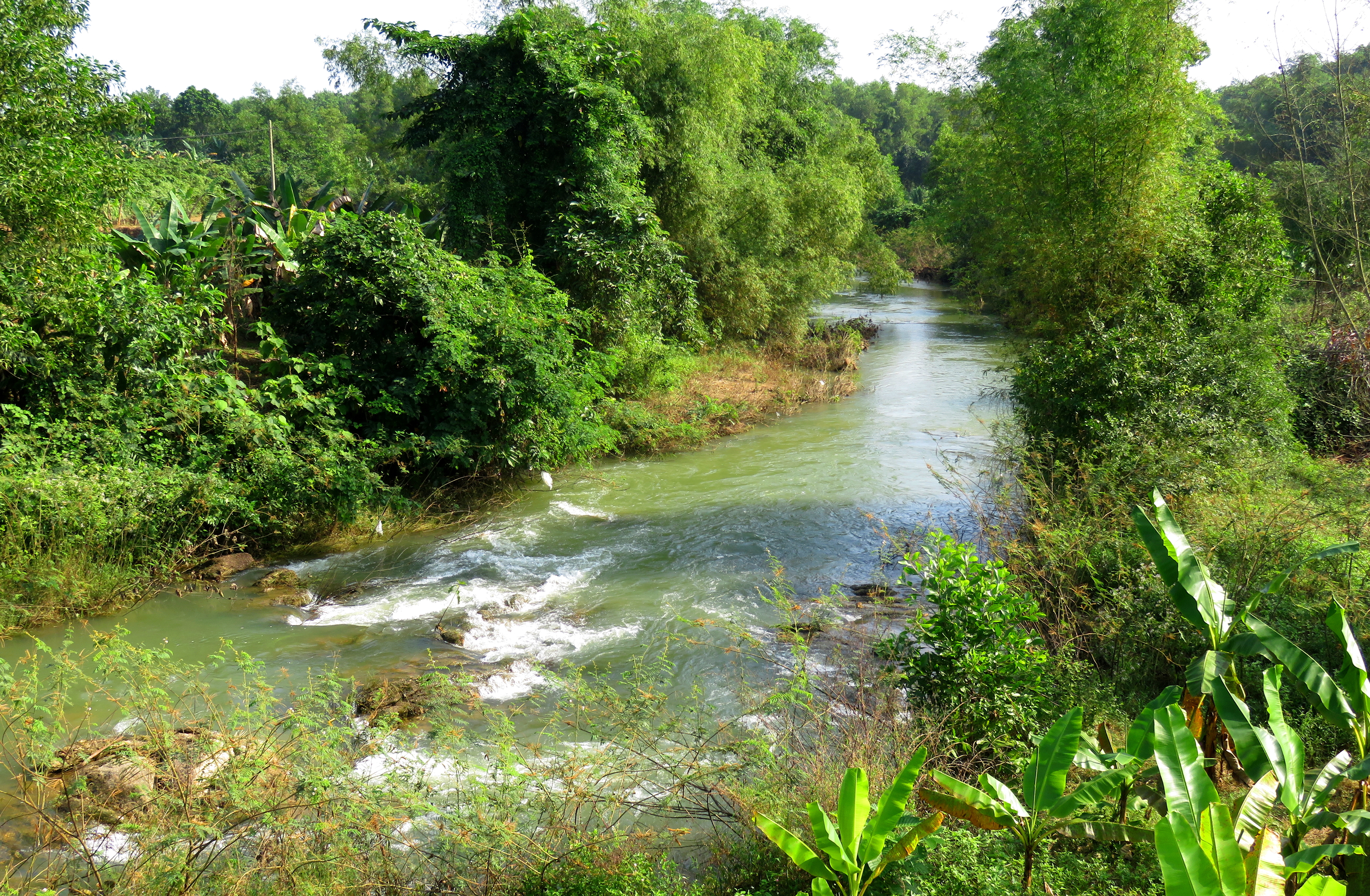
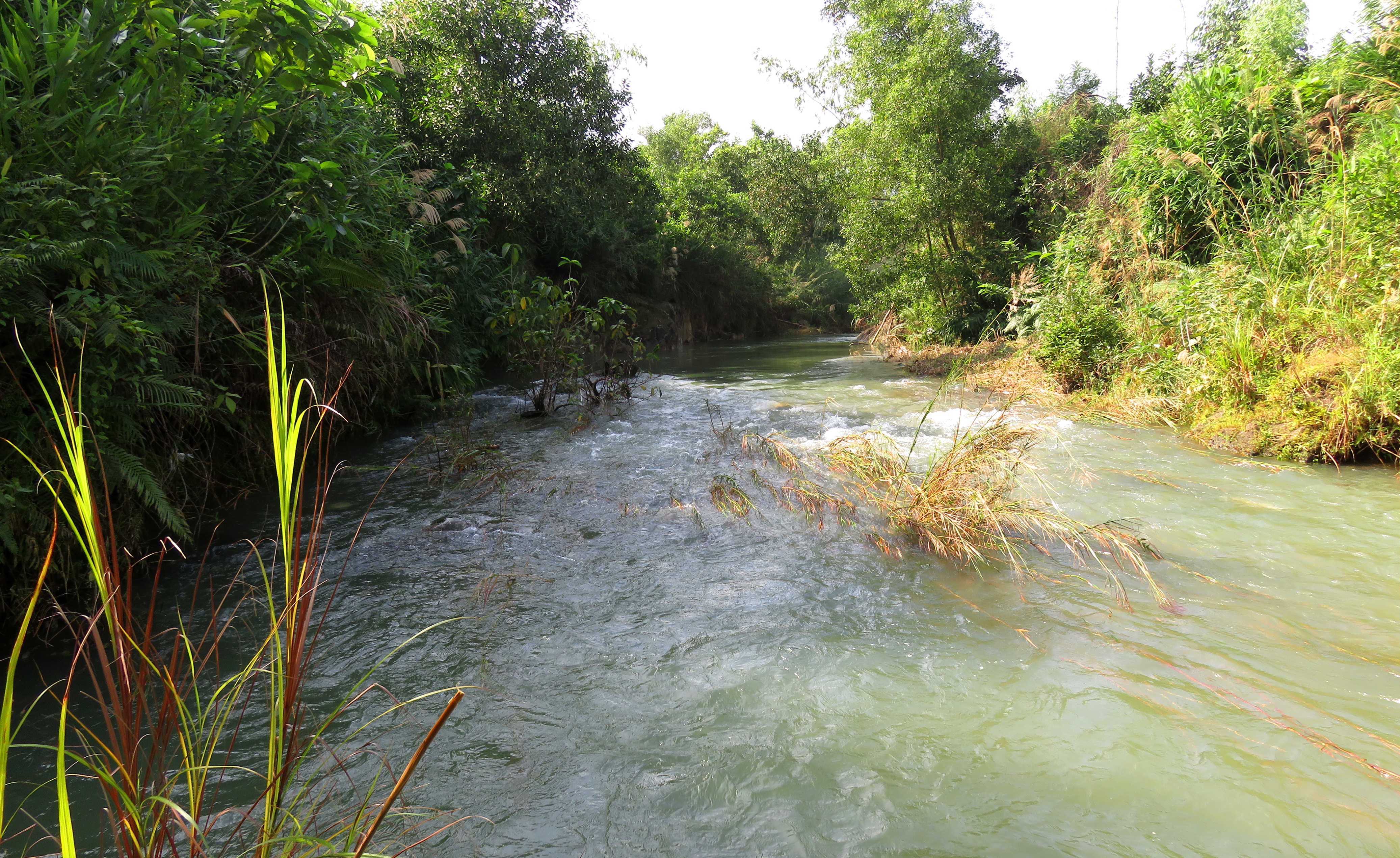
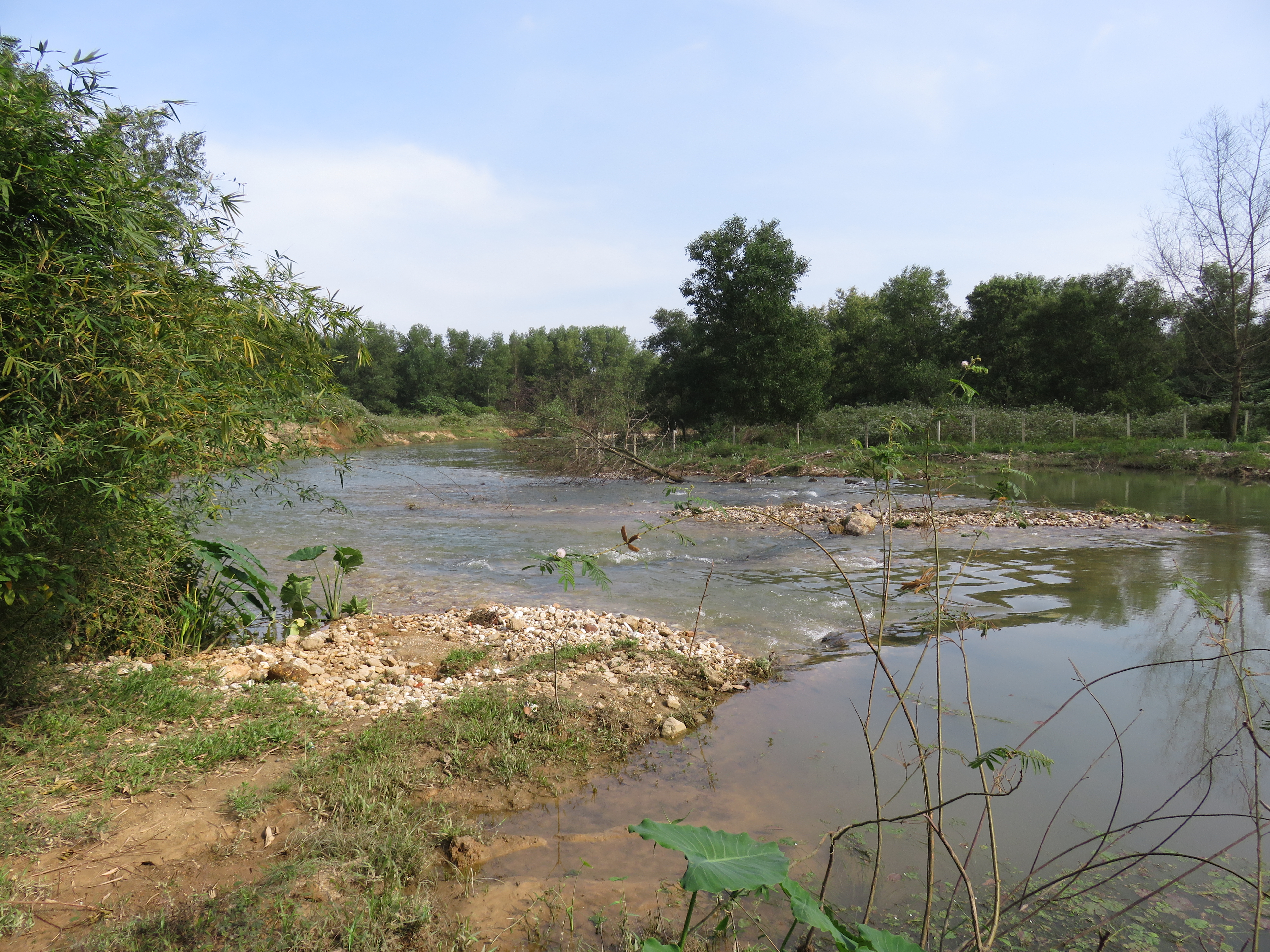
Below this the creek finally breaks out of its awkward mini-gorge at the start and opens up into a more broad channel. A short and shallow gravel bar rapid gives way to a brief flat and calm section. Here is where you will likely see the first of what will be MANY birds. The area this creek flows through seems to be a bird paradise, as I saw at least a dozen different species in just a couple hours on my first trip here. Beware of a low wire hanging over the stream in this section, although it is easy to see and avoid. This section of the stream is also more substantially more beautiful than the confined mini-gorge at the start.
Typical view along the stretch between the initial mini-gorge and the Emerald Forest.
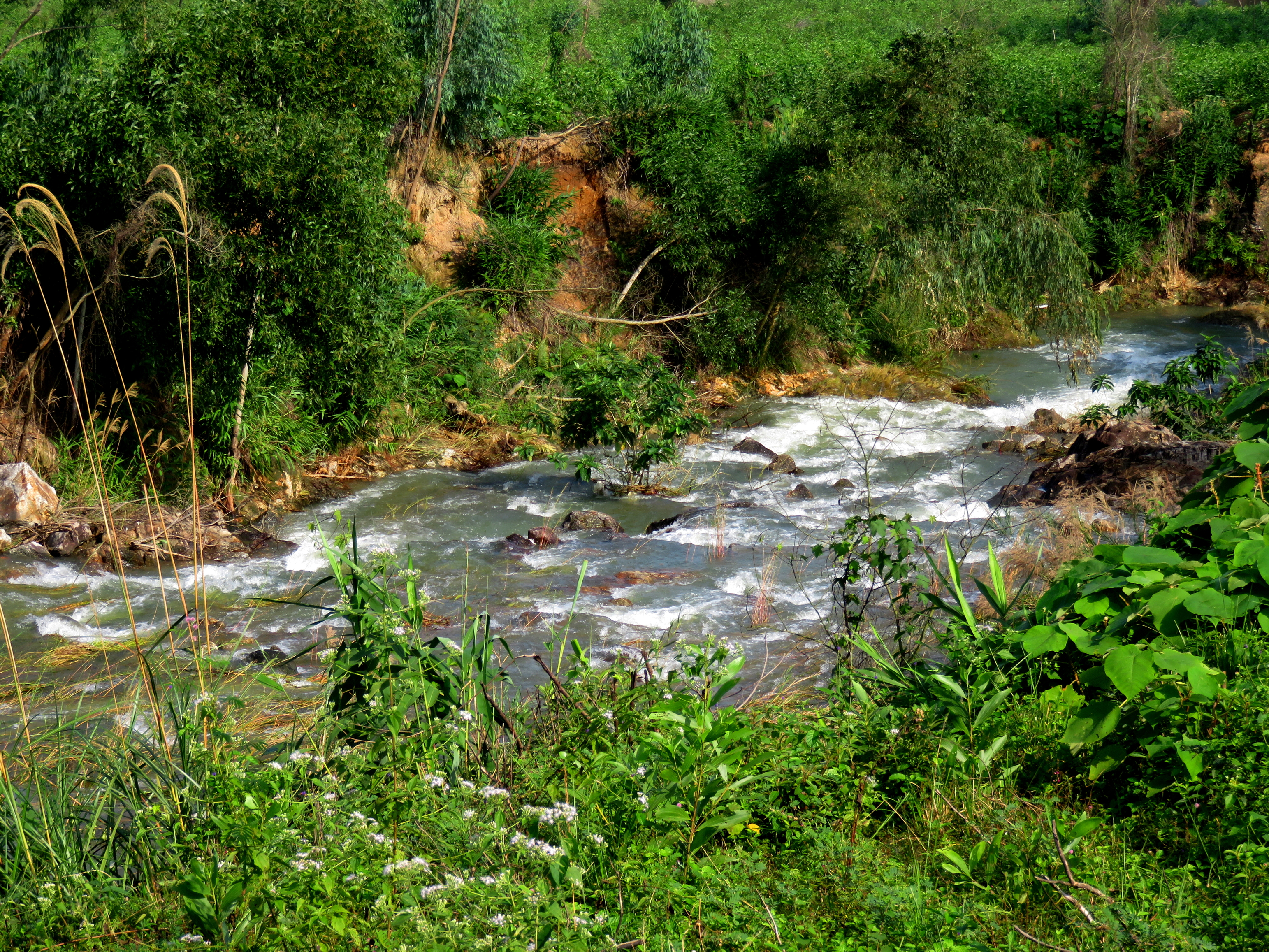
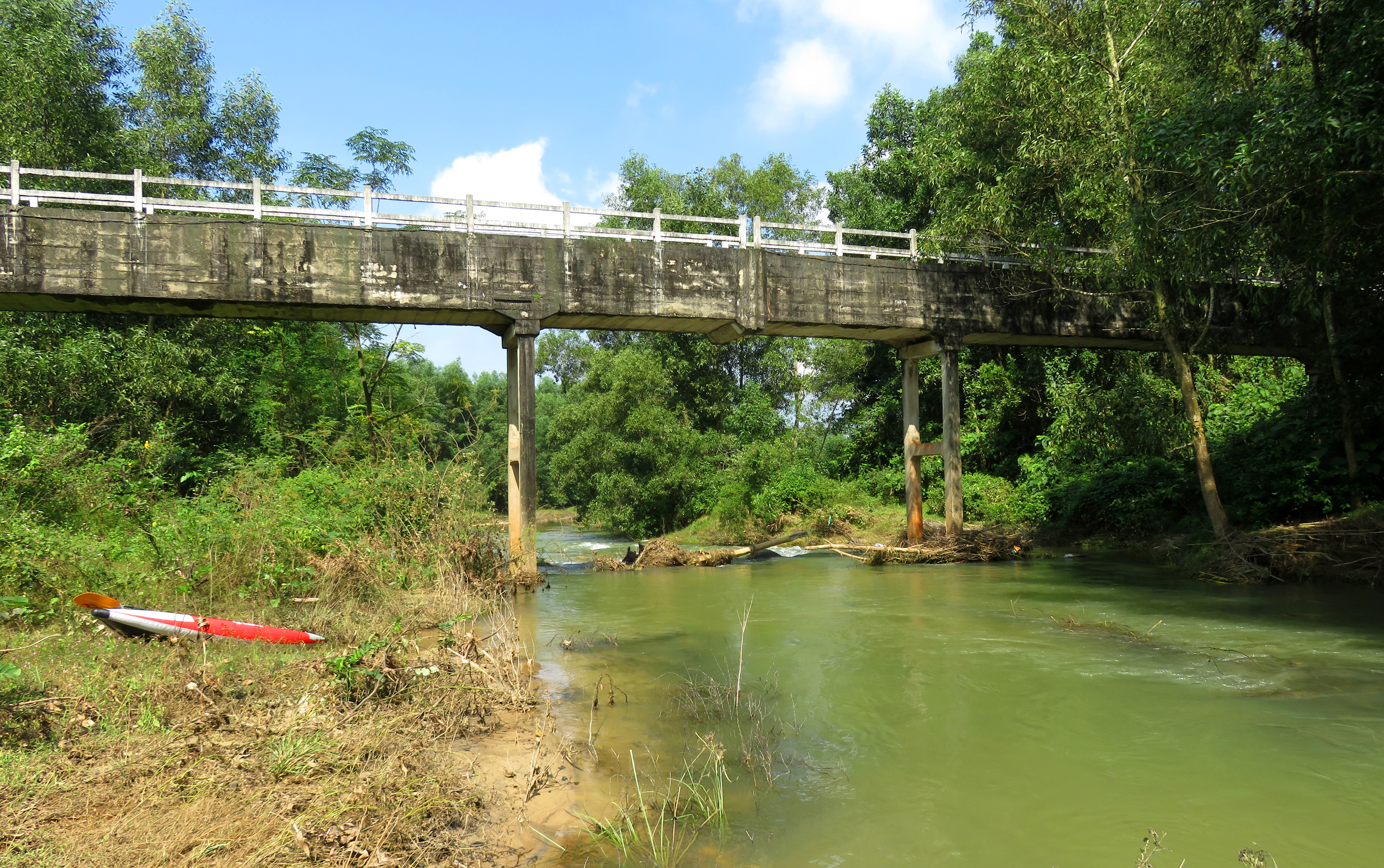
Toilet Bowl Rapid and the two bridges.
Around a couple of bends, the first of several "brush" rapids comes up. There are a handful of these rapids spaced along this stretch, and while not difficult, they should be noted and approached with caution as it would be possible to get hung up on some of the larger groups of bushes. When in doubt, take the channel with the most water in it. After a couple of these, you will float under two bridges, one old and low, and another one new and higher up. The next rapid, "Toilet Bowl", comes up after this second bridge. There are a few ways to run this; left and right are both good, but the best line is to come in center and go through the center channel. If you do it right, you can spin your tail into the right flow and it will swirl you around like a toilet bowl, hence the name.
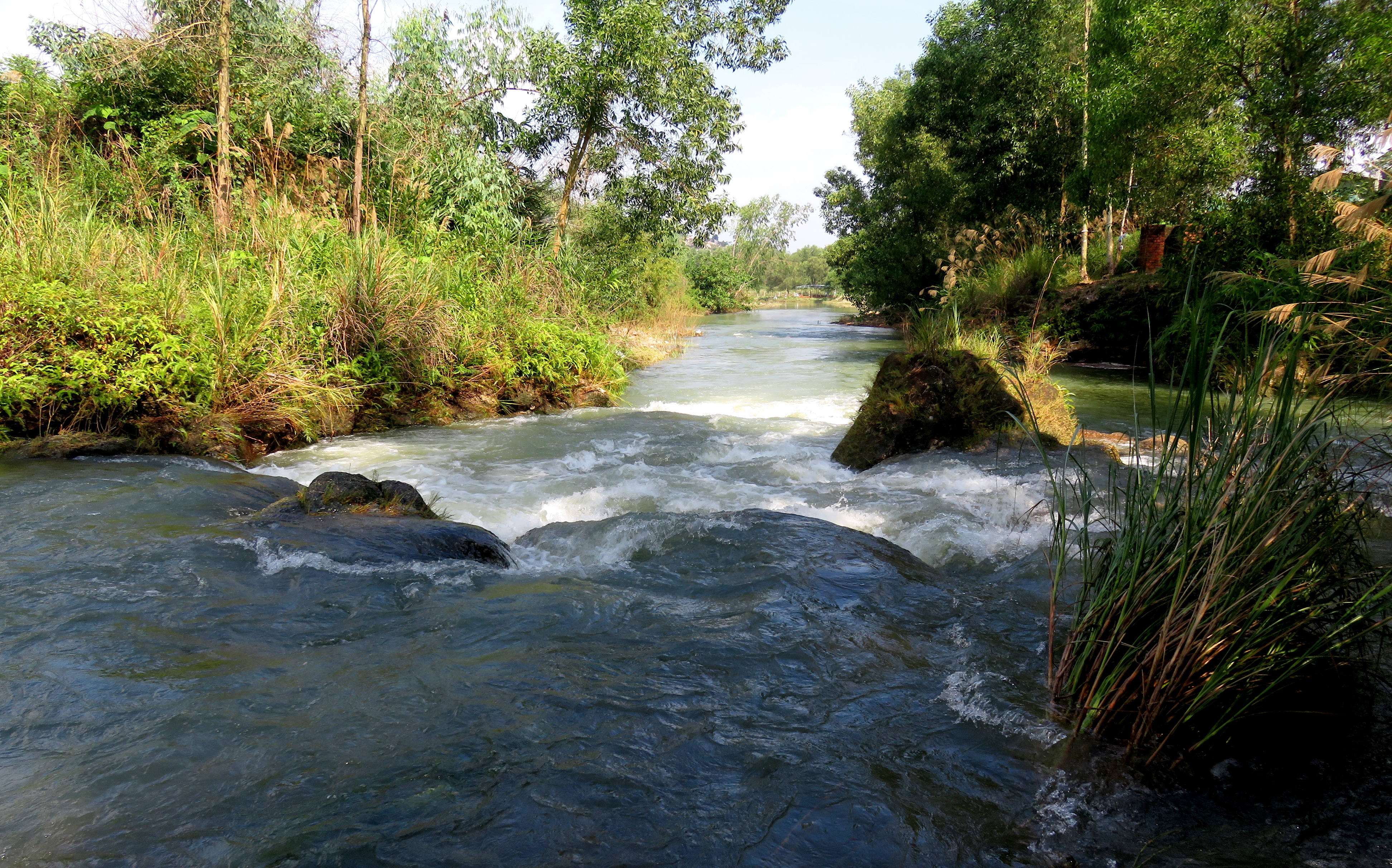
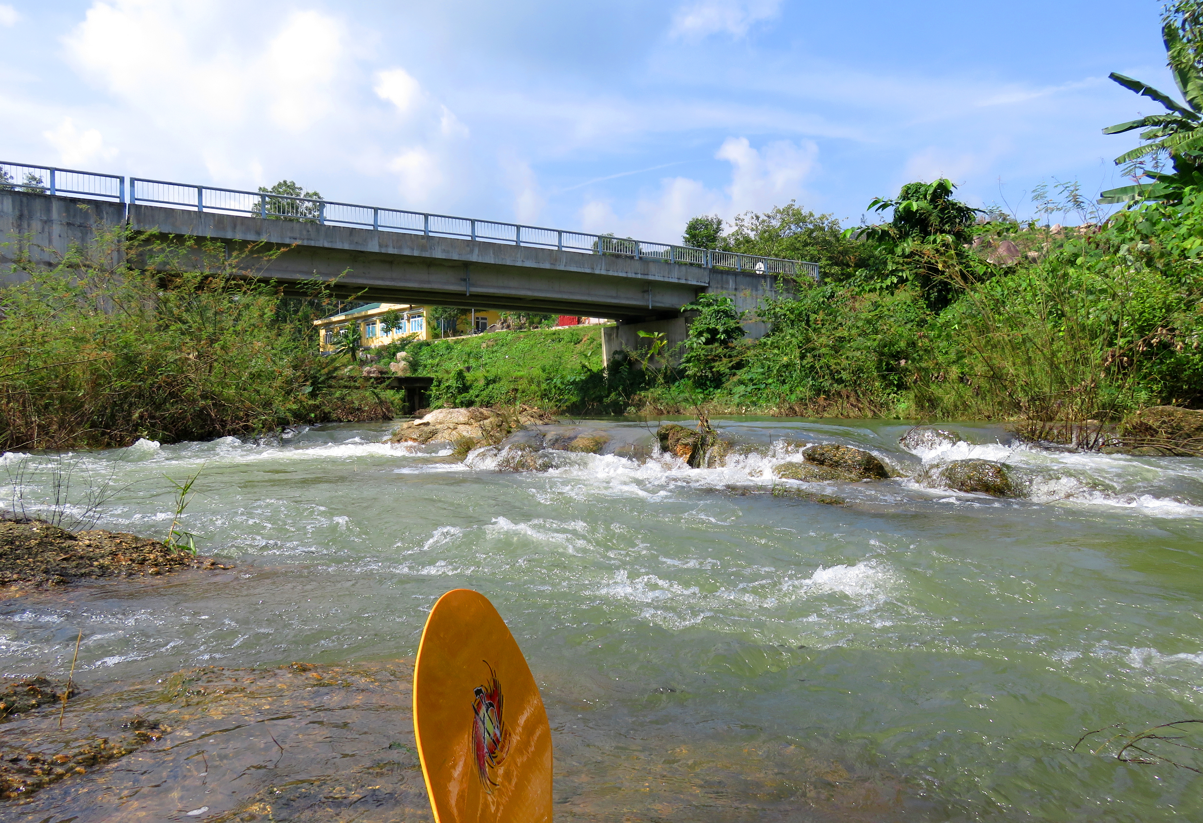
The aqueduct.
|
Aqueduct Rapid.
|
Below Toilet Bowl there is a long flat section with just one brush rapid, and then the creek goes around a corner and under an aqueduct. This flume carries water direct from Ho Dong Nghe, across the Bamboo Creek drainage, and into the fields around Hoa Khuong to the east. It also marks the last "rapid" of the run, the simply named "Aqueduct Rapid", which is very easy and goes down the center. Be heads up for potential debris blocked in this rapid. When it doubt scout right.
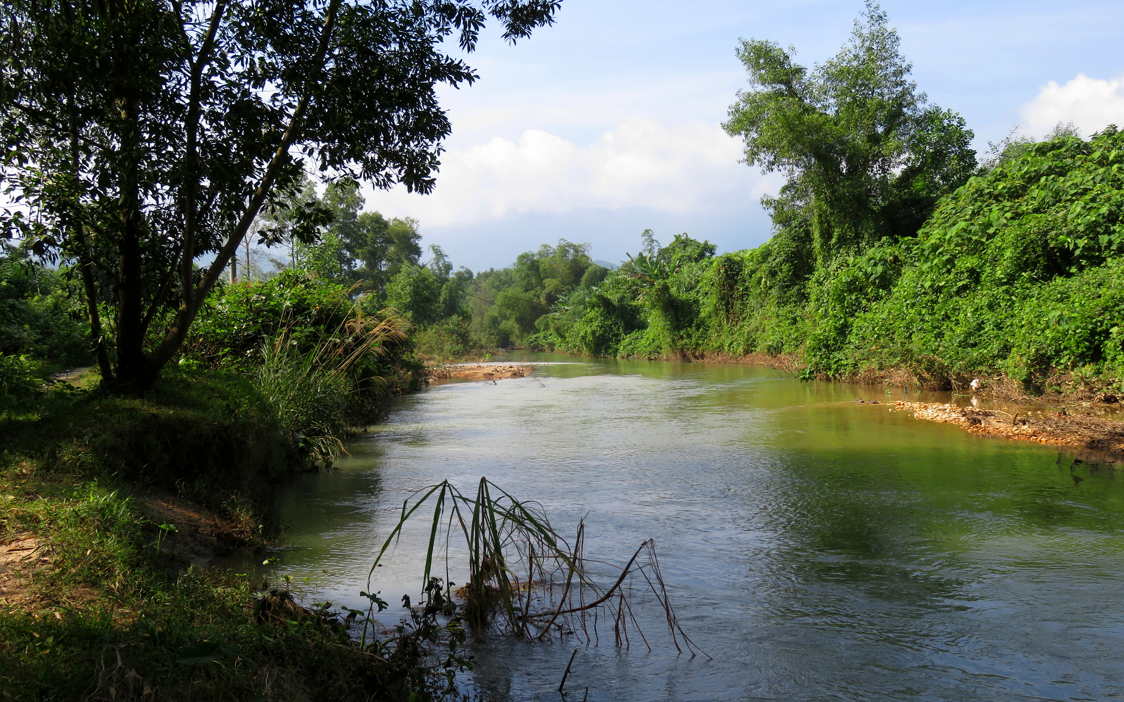
Looking down into the start of the Emerald Forest.
After the aqueduct, the river settles down big time, and with the exception of one narrow channel through the bushes, and an old road crossing which has some very minor waves, it is all flatwater to the takeout. This section is quite beautiful, as there are some decent sized second or third growth forests growing along the banks of the river. It is these forests that carry the "Emerald Forest" nickname that gives this section of stream it's name. It can often be very quiet and peaceful in this stretch as well, but the takeout comes up surprisingly quick and abruptly, so be on your toes as it approaches. The best takeout is on right left, although river right works fine too.
Behold, the majesty of the Emerald Forest.
The Video
The Map
|
All photos copyright Kit Davidson.
All maps copyright Google MyMaps. |
