
Song Cai & Song Bung Confluence and the Tan Doi Road
Skip to the Interactive Map!
|
Near the town of Thanh My, in western Quang Nam Province, two large rivers come spilling out of the mountains and join in a canyon just a few kilometers downstream downstream of the town. This junction, seemingly innocuous to most travelers, is an neat place to visit if you are looking for an interesting short detour near Thanh My, as it doesn't take more than about 30 minutes to cruise all the way down and back. Of course, if you wanted, you could spend quite a bit of time here, perhaps even enjoy a picnic, but it could just as easily be done as a quick side-mission while on a drive elsewhere in the area.
The actual driving portion of this is quite small, just a handful of kilometers. Along the way the road drives past several small villages and ultimately dead ends at the confluence of the two rivers. This is a short log of what you can expect to see should you choose to come to this area.
|
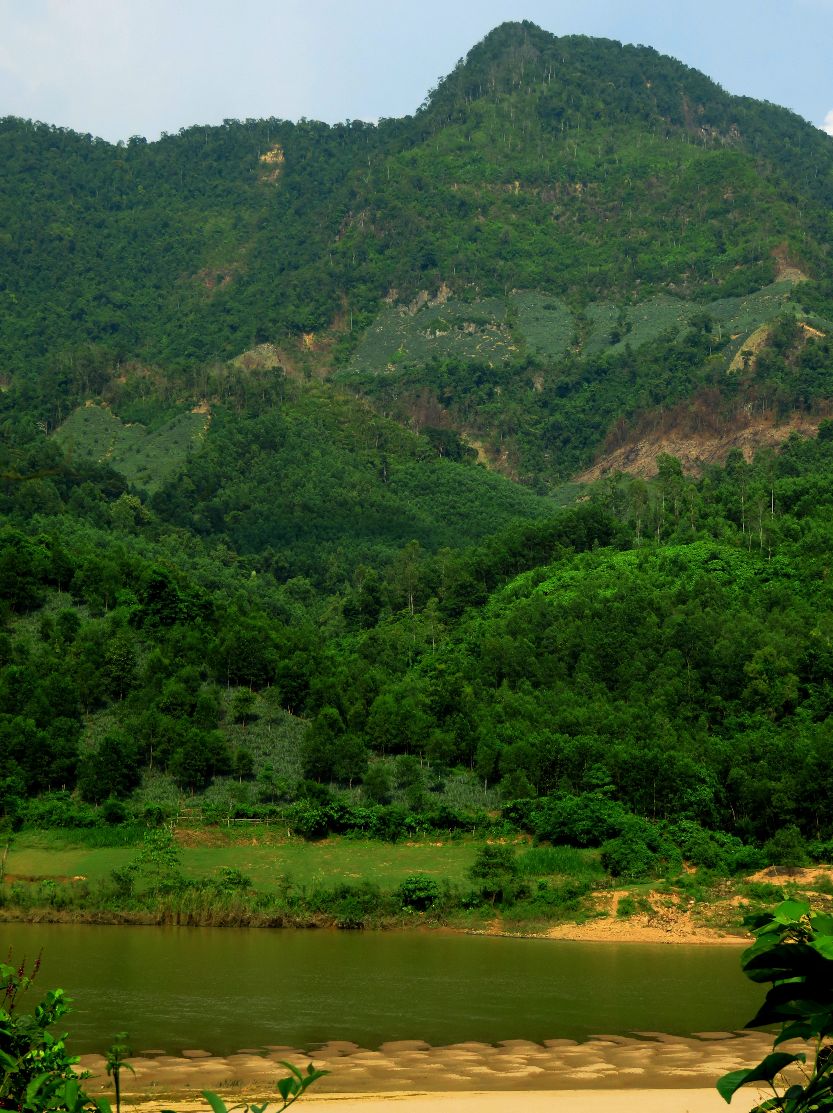
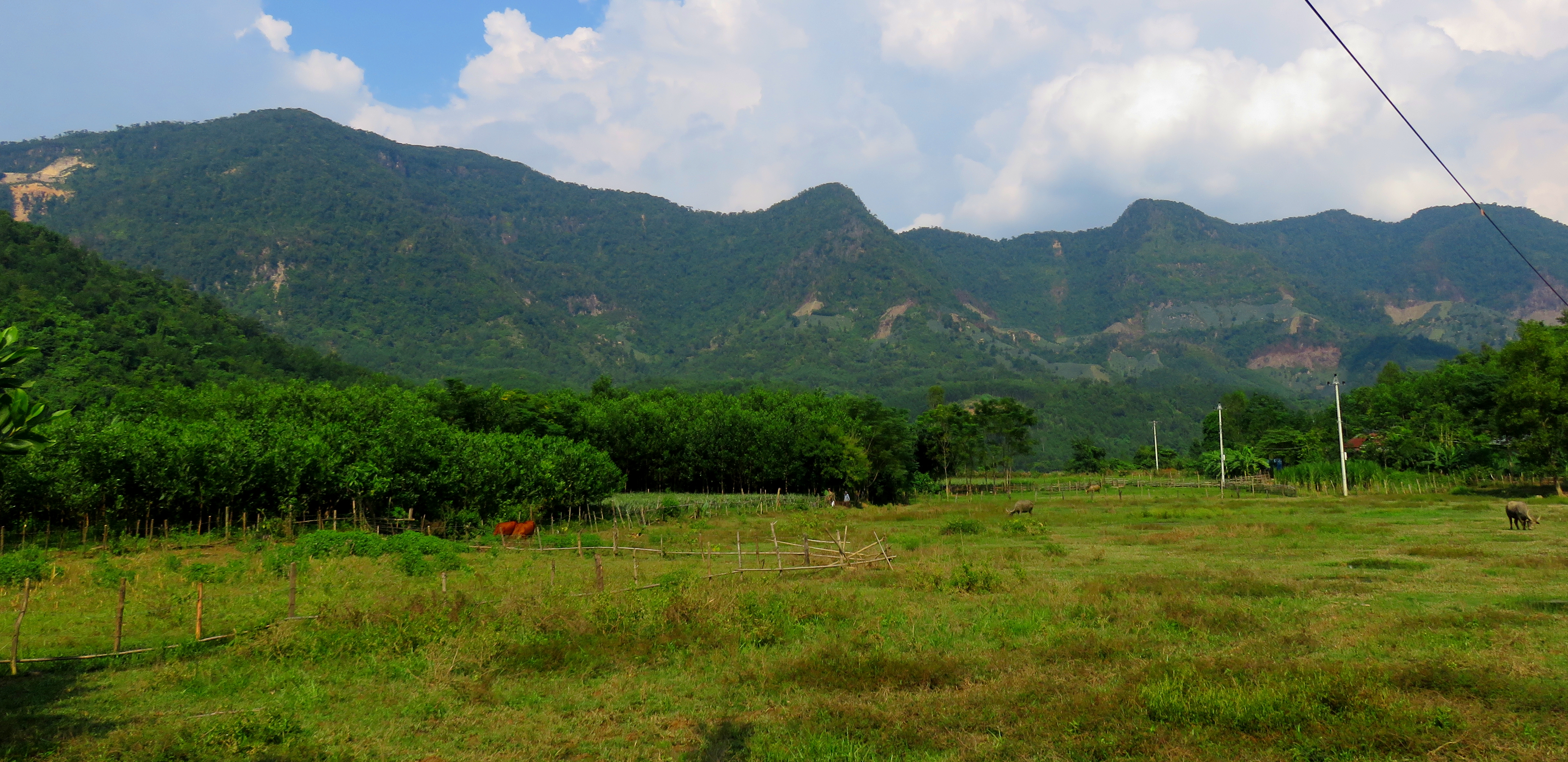
Typical scene in Confluence Canyon.
|
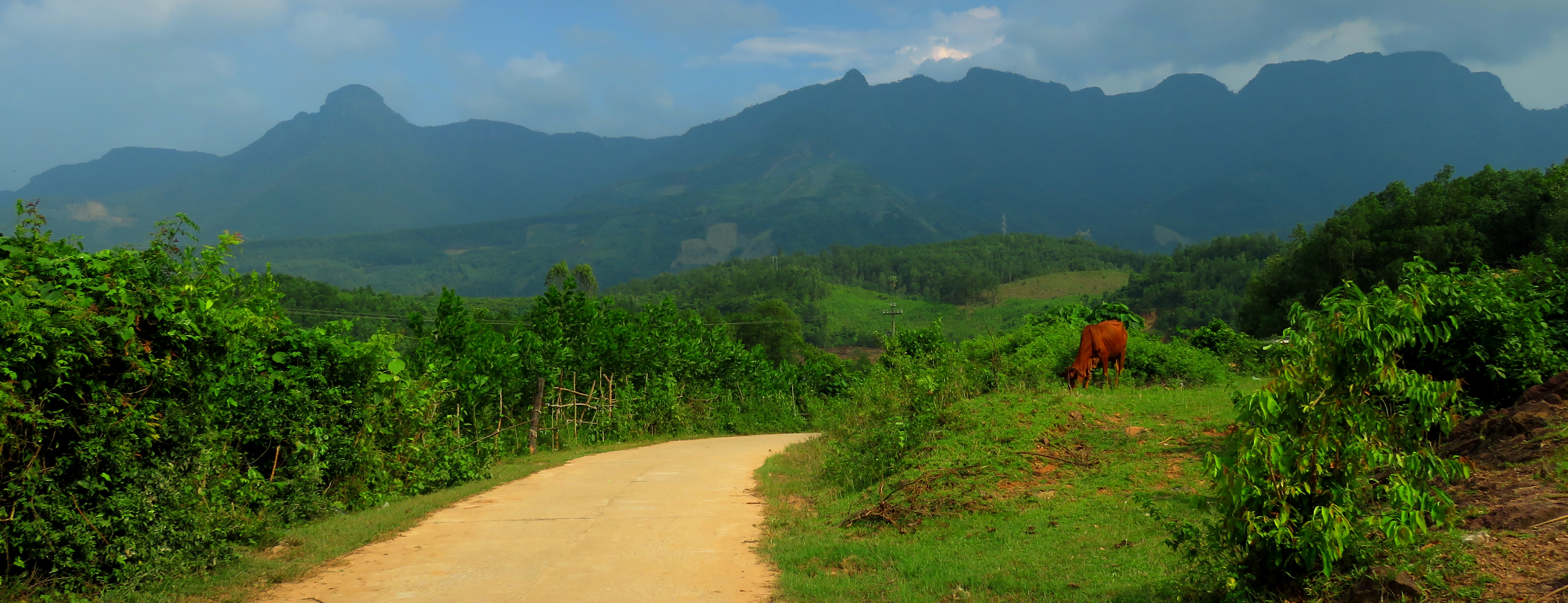
Just a cow, a road, and some mountains.
The rivers that form this confluence, the Song Cai and the Song Bung, are two primary rivers in this part of Quang Nam. Both have quite sizable drainage basins, reaching all the way to the Vietnam / Lao border, and together they drain an impressive area of the province. The Song Bung originates below the peaks of the border, to the west and northwest of here, and traces its way through rugged and remote Nam Giang District. This is the country of the QL-14-D highway corridor. It then collects the waters of the A Vuong River, an impressively sized river in it's own right, before making one more push through the mountains and into Confluence Canyon.
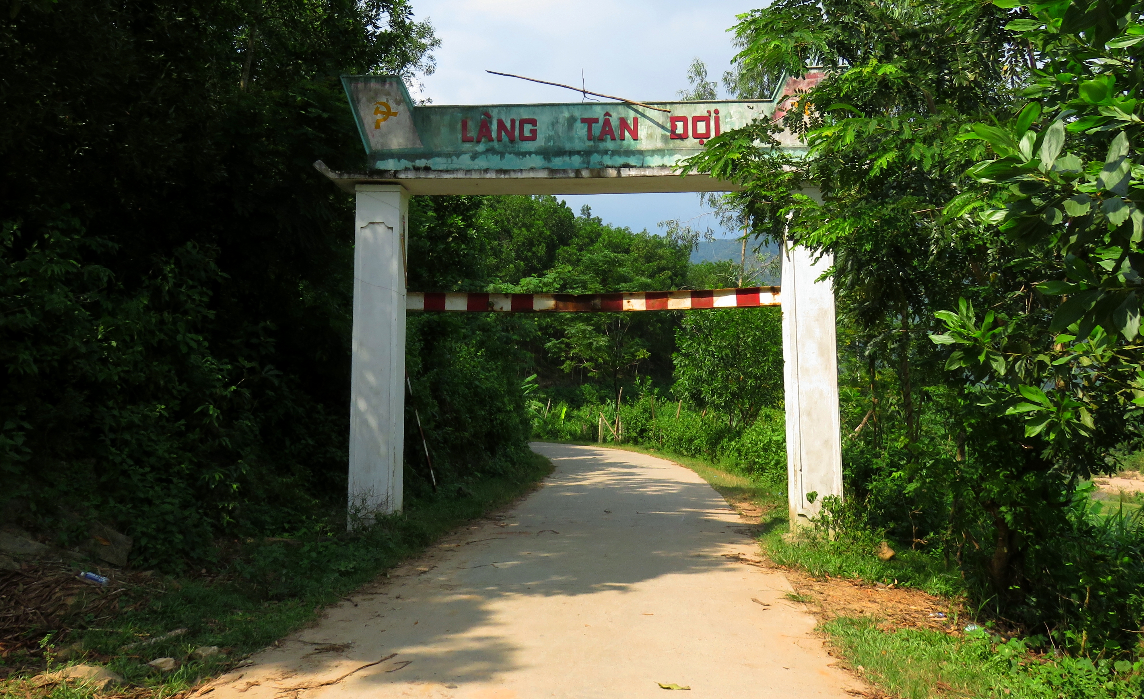
Entrance gate to the Tan Doi Road.
The other river, the Song Cai, has it's headwaters to the south, in the rugged range of mountains near Kham Duc. While the bulk of the flow from the Dak Mi River (a major tributary of the Song Cai) has been diverted as part of the Dak Mi Project, the Thanh River, which drains a valley roughly perpendicular to the Song Cai's, has been targeted as a critical stream to maintain constant flows on. So for most of the year a large portion of the flow into the Song Cai comes from the Song Thanh. This drainage runs south to north, beginning in Phuoc Son District, before heading north, past Thanh My and into Confluence Canyon.

Tyler heading down the road.
|
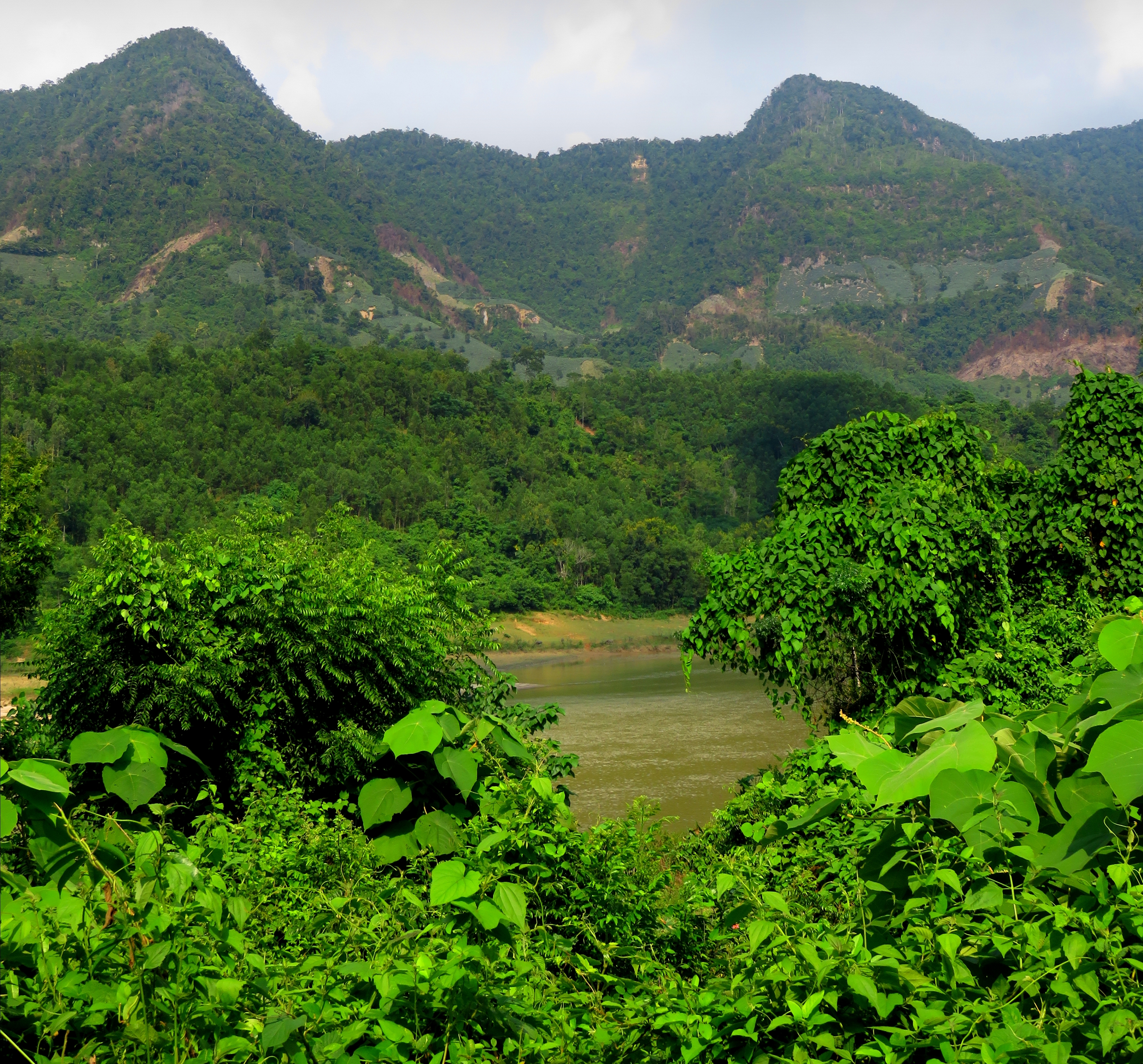
Peaks between Confluence Canyon and the Song Kon valley.
|
If you've looked around the site a bit, you'll notice that a lot of the drives and adventures featured on this site are found in the mountains of Quang Nam. Having spent years driving over the mountains in the western part of the province, and exploring many of the beautiful valleys, villages, and hidden places, means I hold these river systems dear to my heart. So to see these two connect and become one, and knowing just how much of the amazing terrain in the drainages above that I've been fortunate enough to see, is very special to me. It's also great knowing that these two rivers drain some of the best remaining old-growth mountain jungles to be found anywhere in central Vietnam.
The newly formed Vu Gia River starts it's way downstream.
It's not just me that is excited by this confluence- Buddhists, much like their Hindu cousins, consider river confluences in general to be sacred. Especially so if the two rivers that join are mighty rivers with their own kingdoms upstream, of which these are and do. It's no wonder why there are building a pagoda at the end of the road, overlooking this confluence. Although it's still a ways off from being complete, they do have a statue of a deity up thus far. When it's finished this pagoda will have a beautiful view of the intimate canyon that holds the confluence.
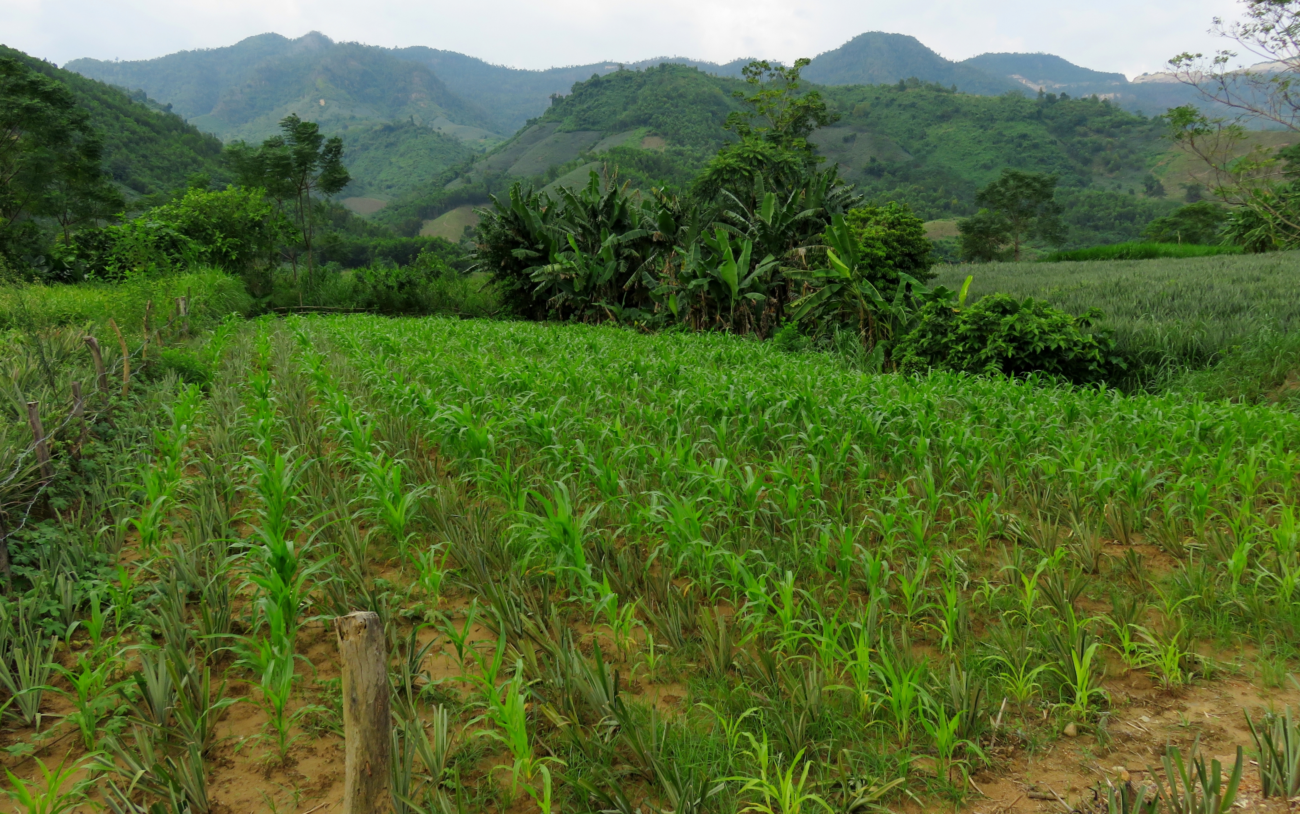
Crops and beautiful views.
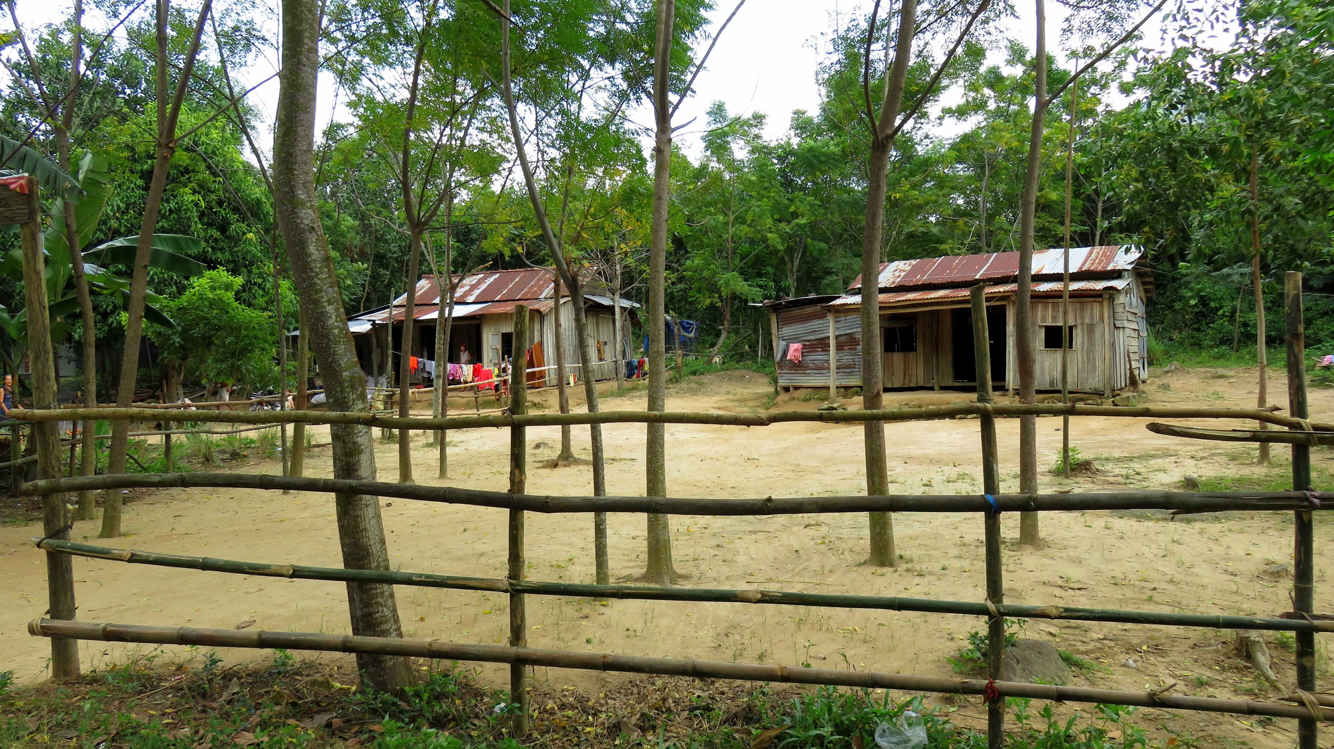
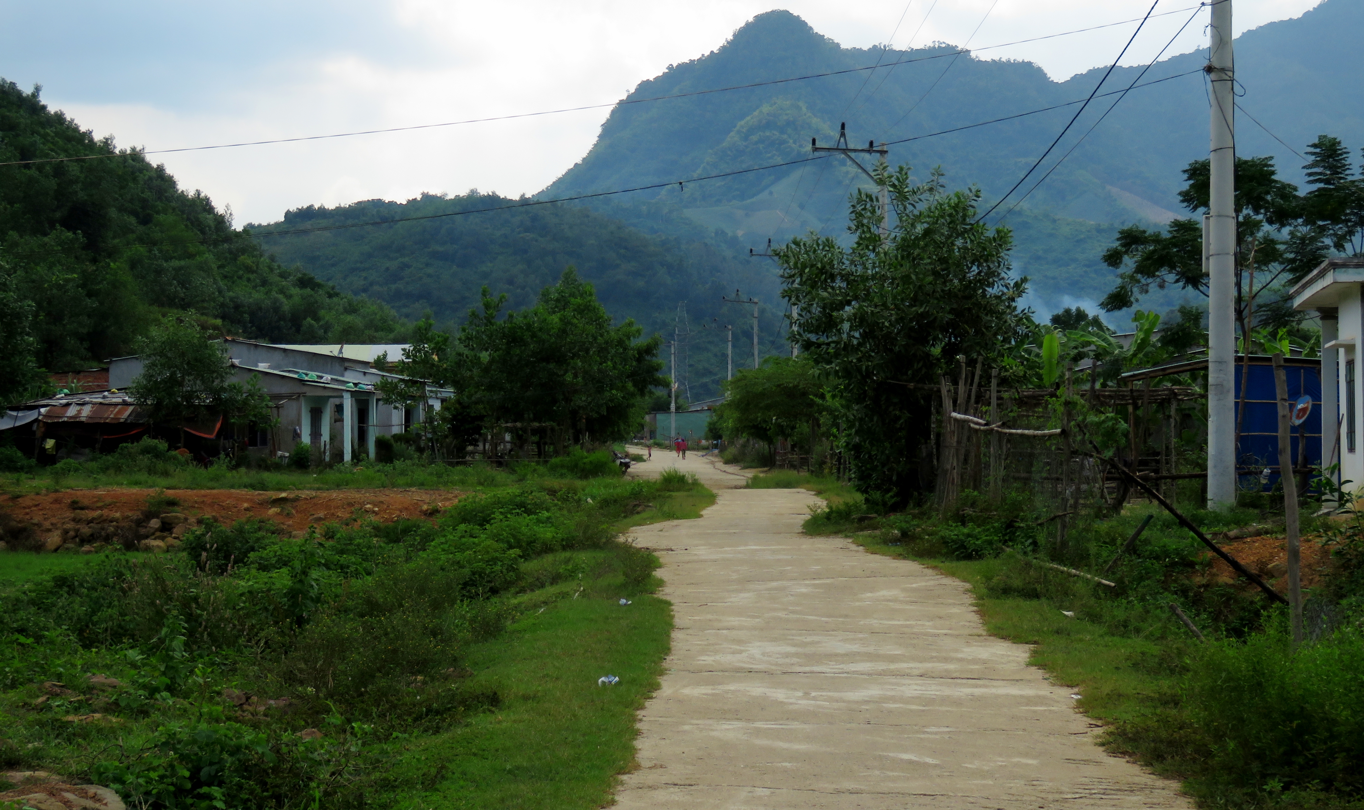
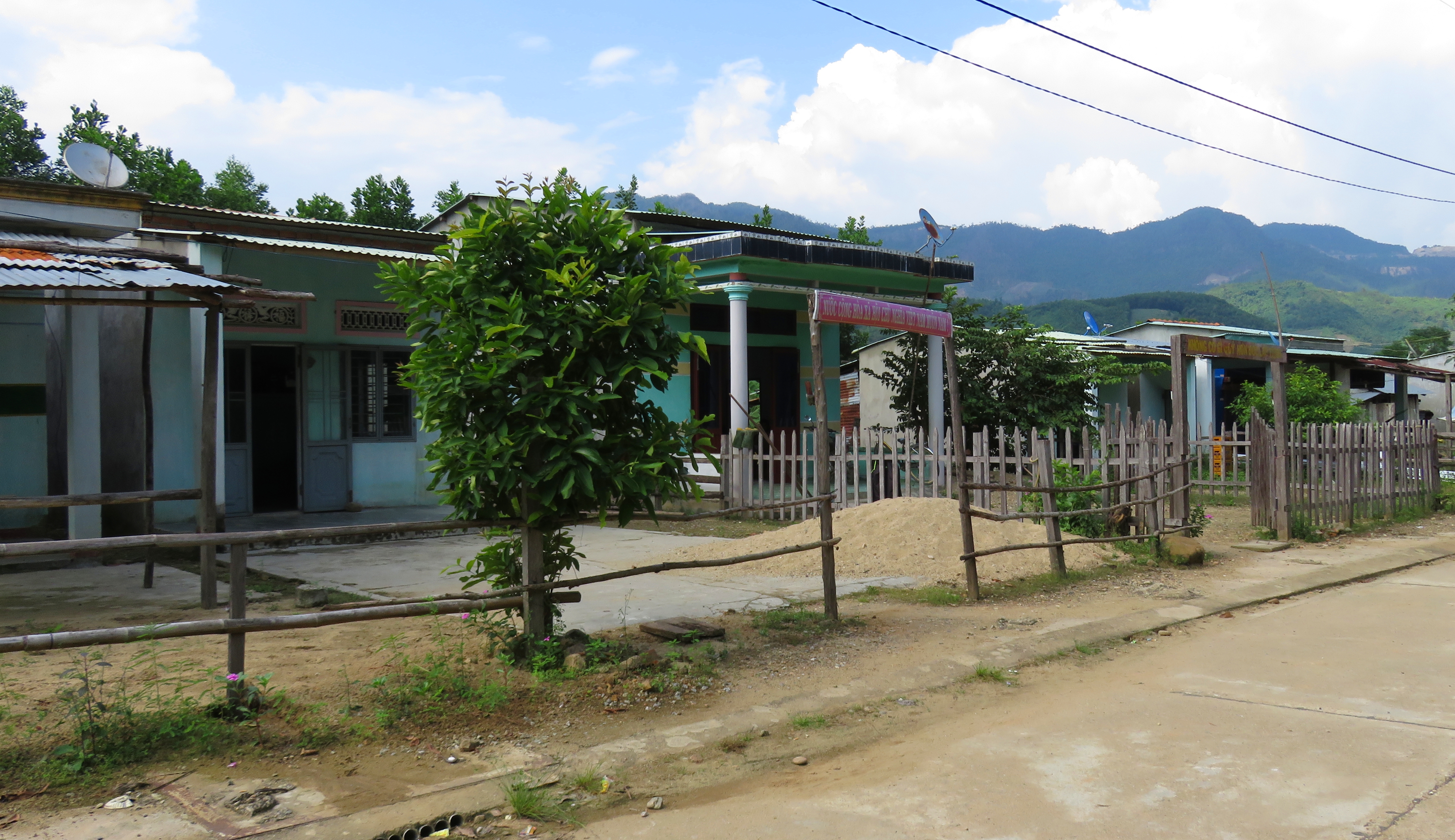
The road starts along AH-17, about 10 to 15 kilometers northeast of Thanh My. A small concrete roads leads off along a hillside, with a sign that says "Lang Tan Doi" [Tan Doi Village] that straddles the road. Initially the road rolls by some great fields, but the village comes up quick. It's like any other rural Vietnamese village, with concrete block houses that are so typical of villages like these. Around the corner from the village and the road goes through a zone of quiet forests. It's all second or third growth, as the original old-growth has been long since logged off, but it's still quiet and peaceful, and the views across the river to the mountains on the other side are quite nice. After a couple of kilometers, another village shows up. However, this one is a bit different as it seems to have more ethnic people occupying it, rather than Vietnamese. The houses are different in construction and the people do look a bit different.
Local villages along the river bottoms.
The next village just down the road also seemed to be more ethnic than Vietnamese. Coming in I knew that there were pockets of ethnic peoples living in this area- Thanh My, just upstream, is dominated by Co Tu peoples- but I guess I never thought much about what that would actually look like. Clearly they have tried to keep a unique identity by existing in their own villages, separate from the Vietnamese. But whether they were put in these villages and told to stay in these villages by order of an authority, or whether they have willingly grouped themselves I cannot say. Unfortunately, these ethnic-looking villages also tend to show quite a bit more poverty than some of the Vietnamese villages next door.
Drawing nearer to the confluence itself...
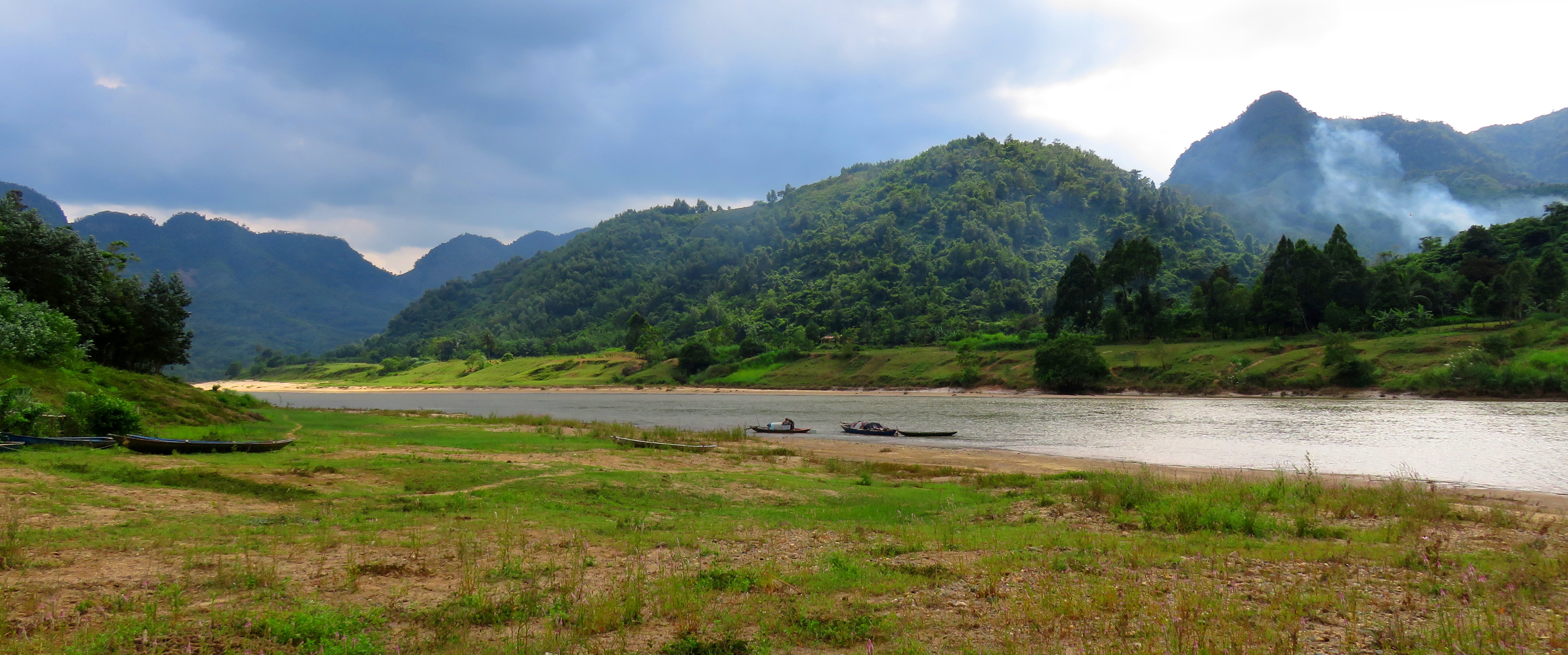
Each of these small villages is punctuated by small fields of crops or meadows for livestock grazing. After the ethnic villages there is one more Vietnamese village, one that looks like it's had a bit of a "modernization" push, marks the end of the road. At the end of the village the concrete road ends. You can either go right, down the rocky track, to the riverside, but beware of mud once you get down there. Or you can continue on straight, which will take you to a dead end logging road. The pagoda under construction is to your left. This is the true heart of Confluence Canyon, and for those who can appreciate it, this confluence of two major rivers is a neat place. There are small limestone hills and mountains on all sides, providing beautiful ridgelines above the separate rivers.
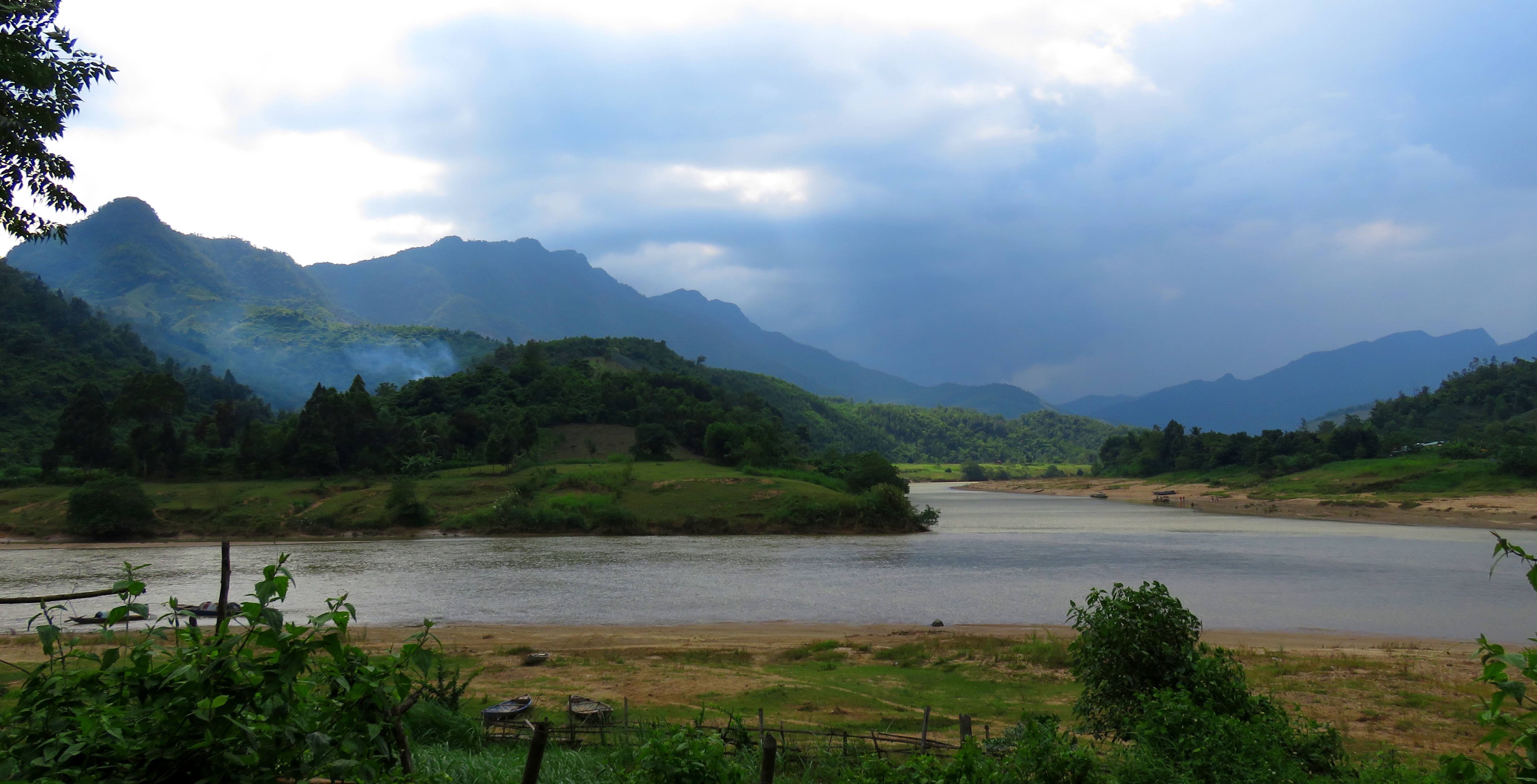
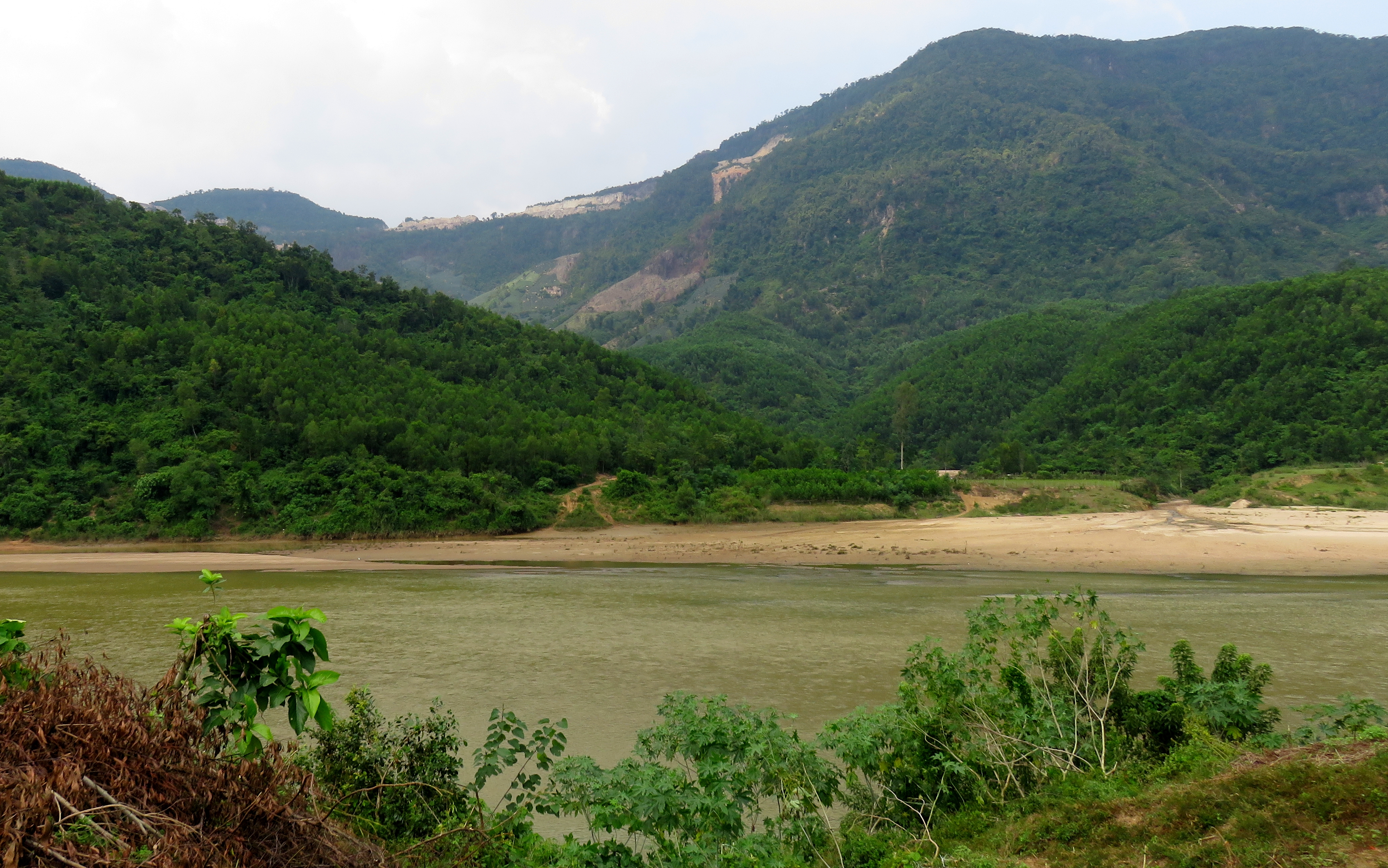
Song Cai (left) joining with the Song Bung (center) to form the Song Vu Gia (flowing to the right). Nui Ru Tay on the left and Nui Tung Tang in the center-left.
Looking up the Cai River; peaks of the Eo Som and Mai Quy to the left, and Nui Ru Tay on the right.
Looking west at the ridges that separate the Song Bung from the Song Kon.
There are a surprising number of boats in and around the confluence. This is for three reasons: 1, for the gathering of firewood, which we saw when a bunch of local guys showed up on a boat loaded to the gunwales with it; 2, transportation, as there are several small villages and plenty of rural farms on the flat lands between the river and the peaks, and 3, fishing, as a surprisingly varied amount of fish species can be found in the murky waters of the two river basins. The gentlemen on the boat were quite friendly, as were the local kids who showed up and flexed out their English by trying to have a chat with us.
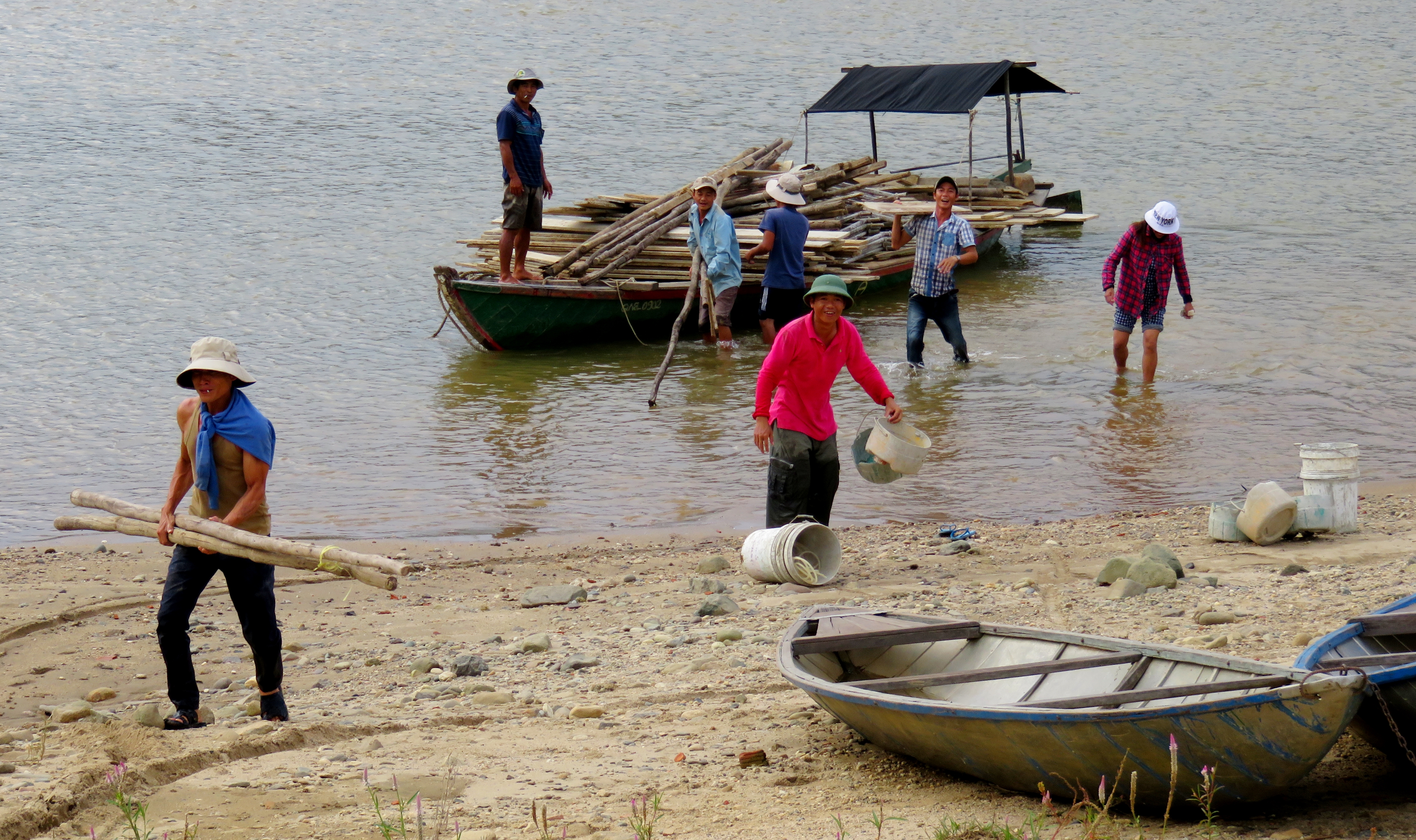
Friendly locals hauling firewood out of the boat.
|
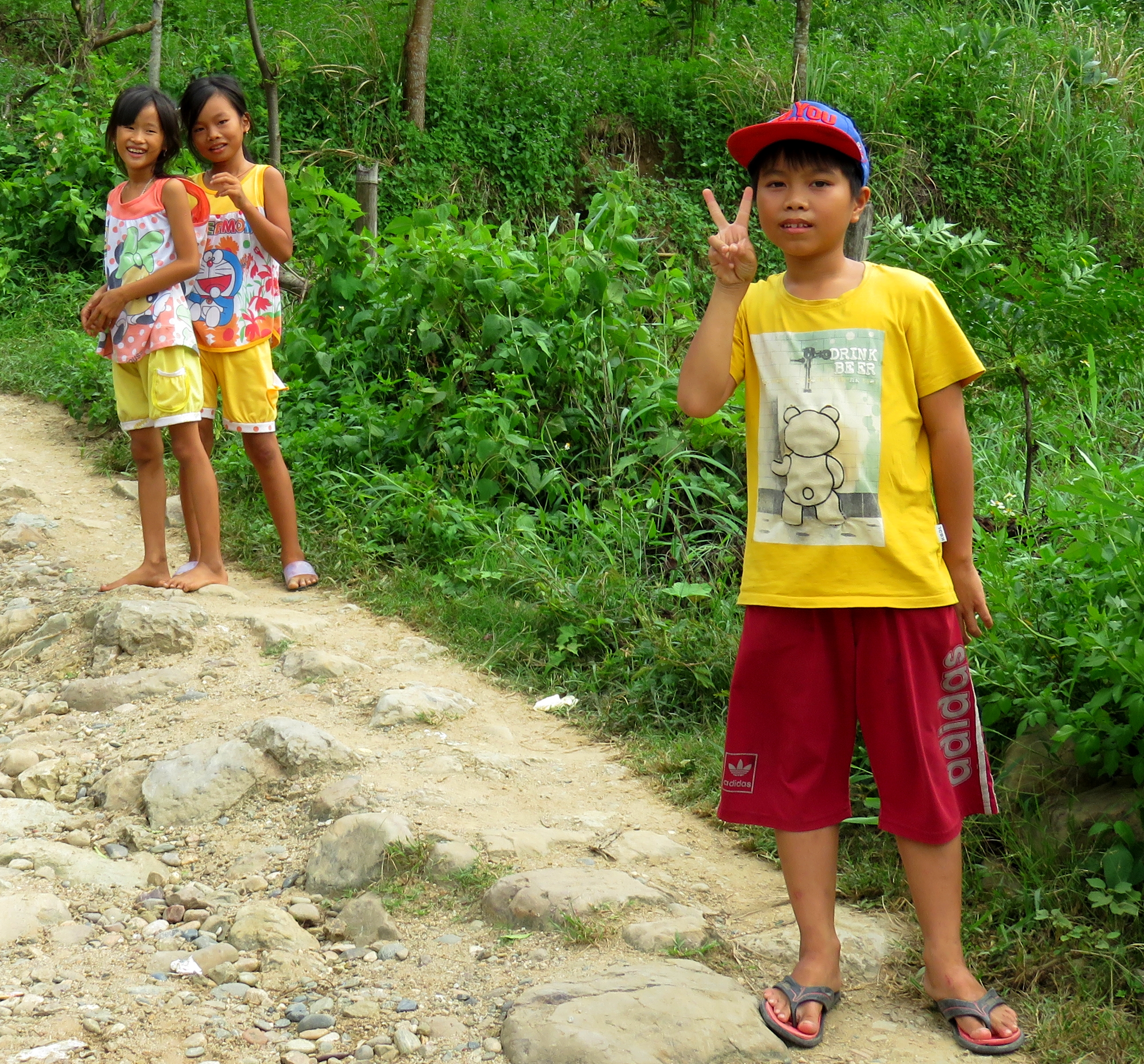
Friendly local kids hanging out with us.
|
On the way back to the highway, a different view of the canyon reveals itself, perhaps more dramatic than the view on the drive in to the canyon. First, it's back down through the last of the Vietnamese villages, and through the fields of agriculture. Keen eyes can spot the small pineapple plantations being raised in some of the side canyons across the river.
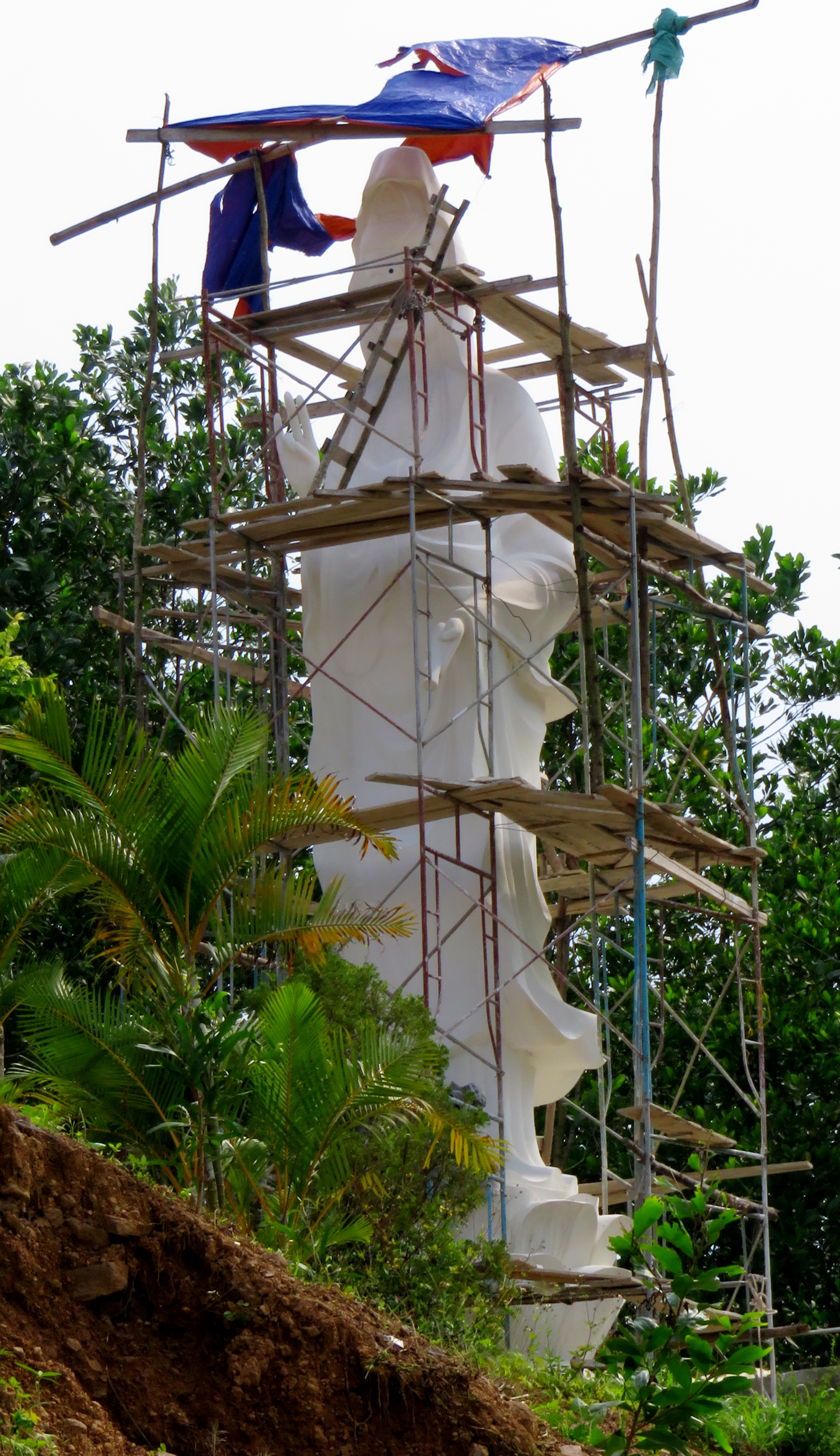
Buddhist statue at the Pagoda site.
|
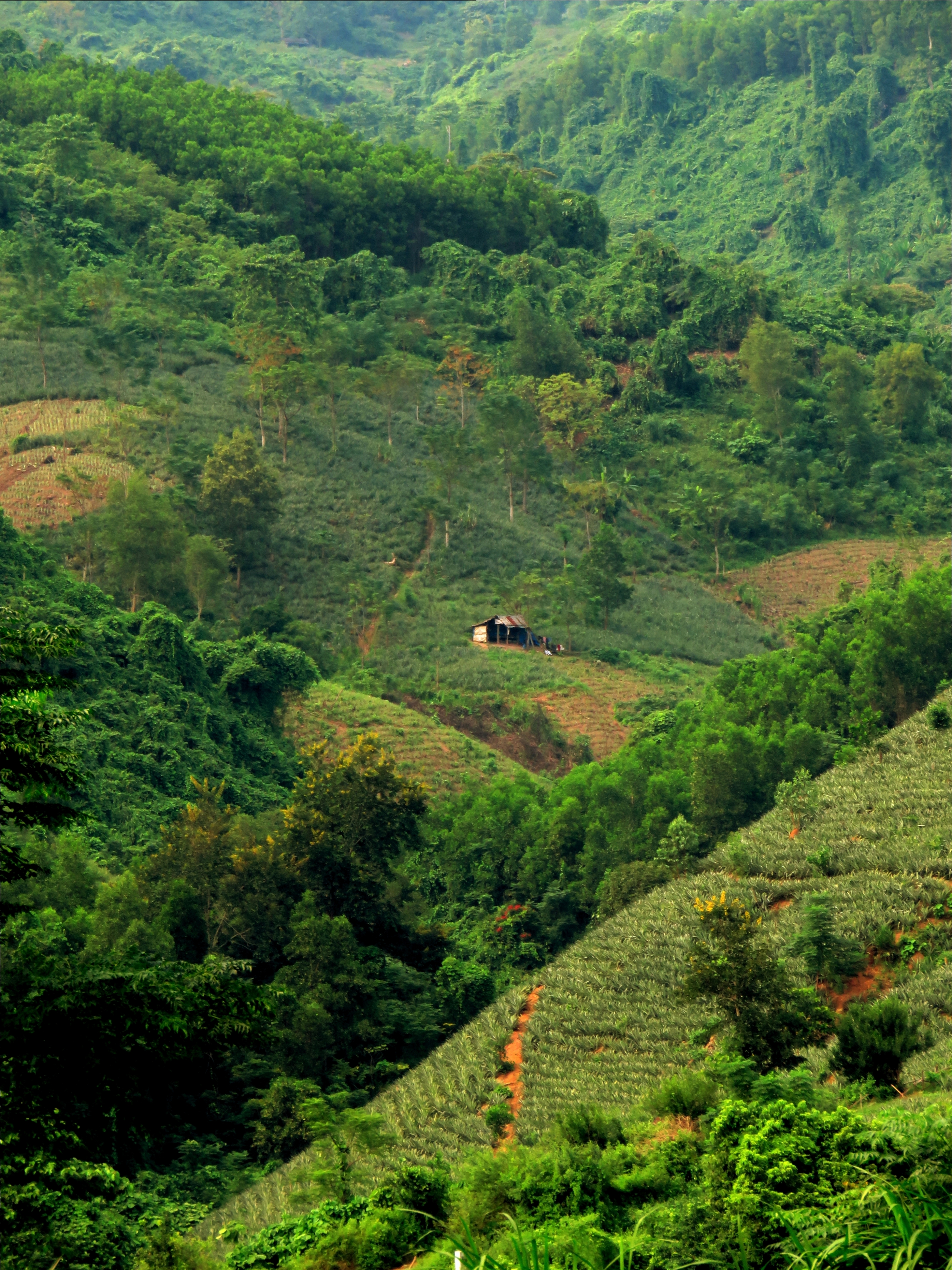
Farmer's shack amongst the hillsides of pineapple plantations.
|
The final village before the confluence.
The peaks of the Nui Khe Ba rising above Confluence Canyon.
The Map
All photos copyright Kit Davidson unless otherwise noted.
All maps copyright Google MyMaps.
All maps copyright Google MyMaps.
