
"Bamboo Creek" - "Lower" Section
|
Section Length: ~ 4 km
Put In: An Chau bridge Take Out: Confluence with Luong Dong |
Difficulty: Class I (P)
Est. Flow: 700 to 800 cfs Paddlers: Kit Davidson |
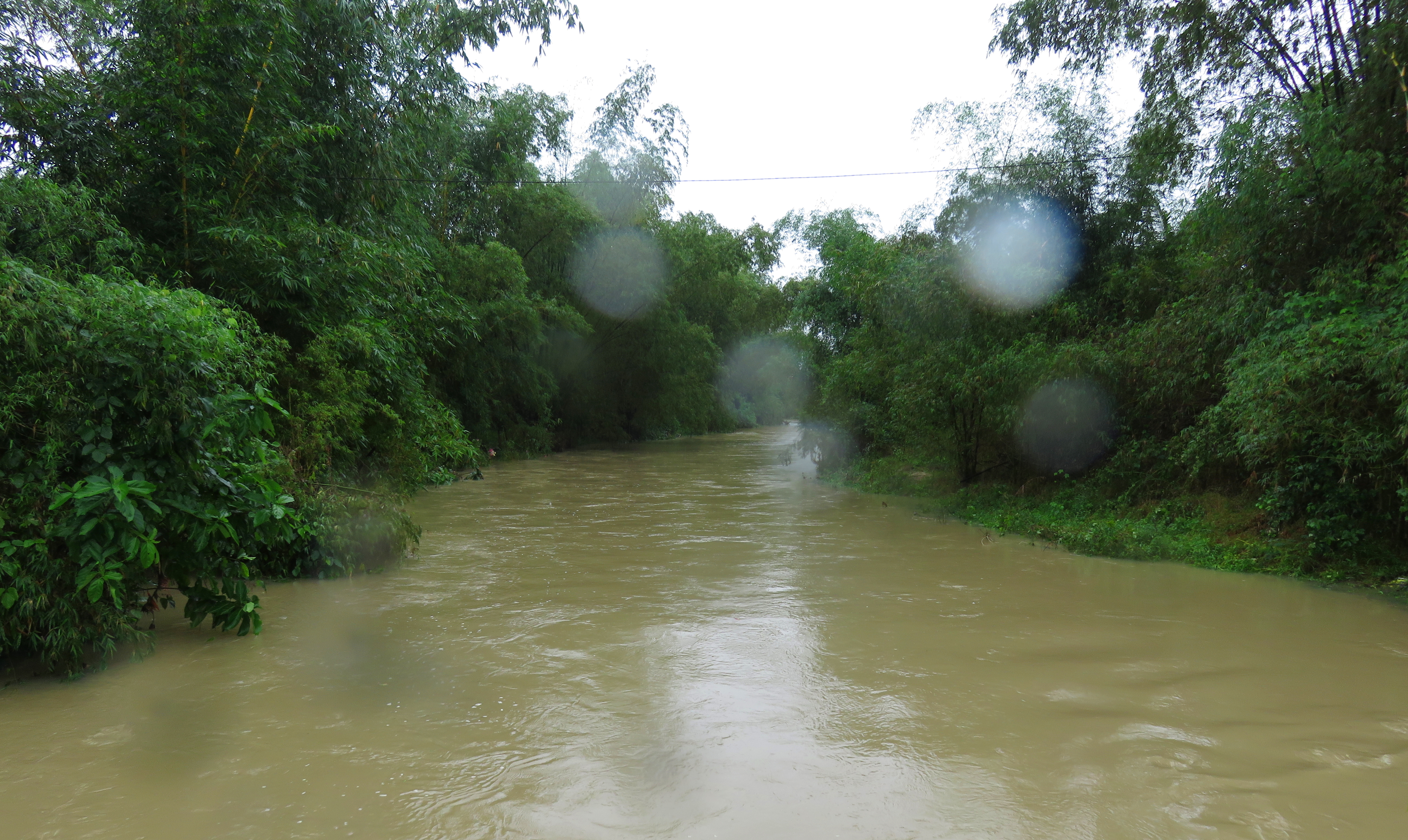
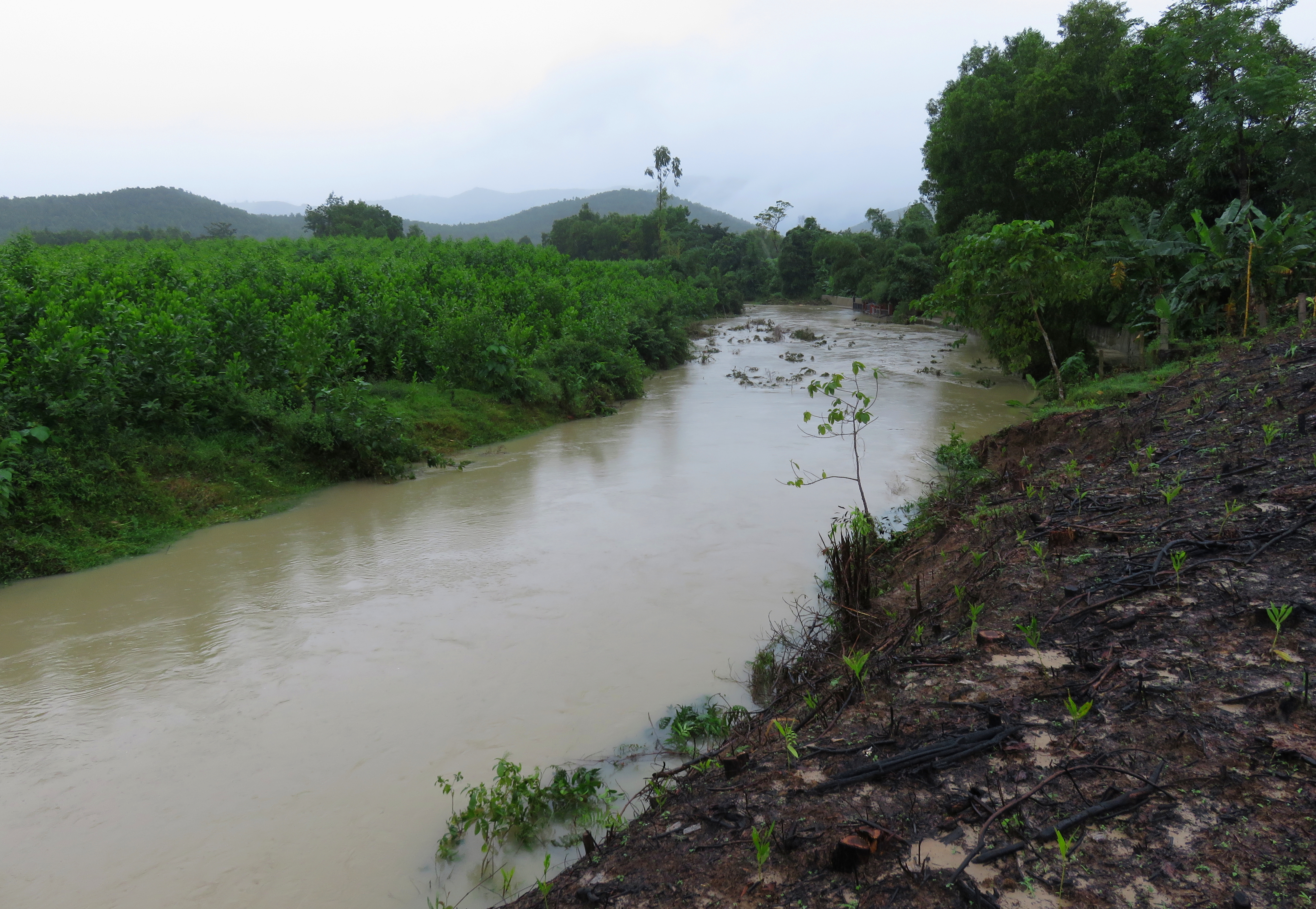
Looking upstream from the bridge portage.
"Bamboo Creek" drains the very eastern-most valleys that descend out of the "Charlie Ridge" mountain range west of the city. The beautiful reservoir of Ho Dong Nghe is the highest possible put in for this run, and when the reservoir is spilling is when you will find water in this rare stream. Most of the time this stream runs about 3 meters wide and knee deep, but during periods of rain, especially prolonged rain, this stream can run with a surprising amount of water, providing an interested paddling experience. This stream can be run down to impressively low levels too, thanks to its sandy riverbed, but the lower you go the more adventure you open up to. For the "Emerald Forest" section upstream, click here.
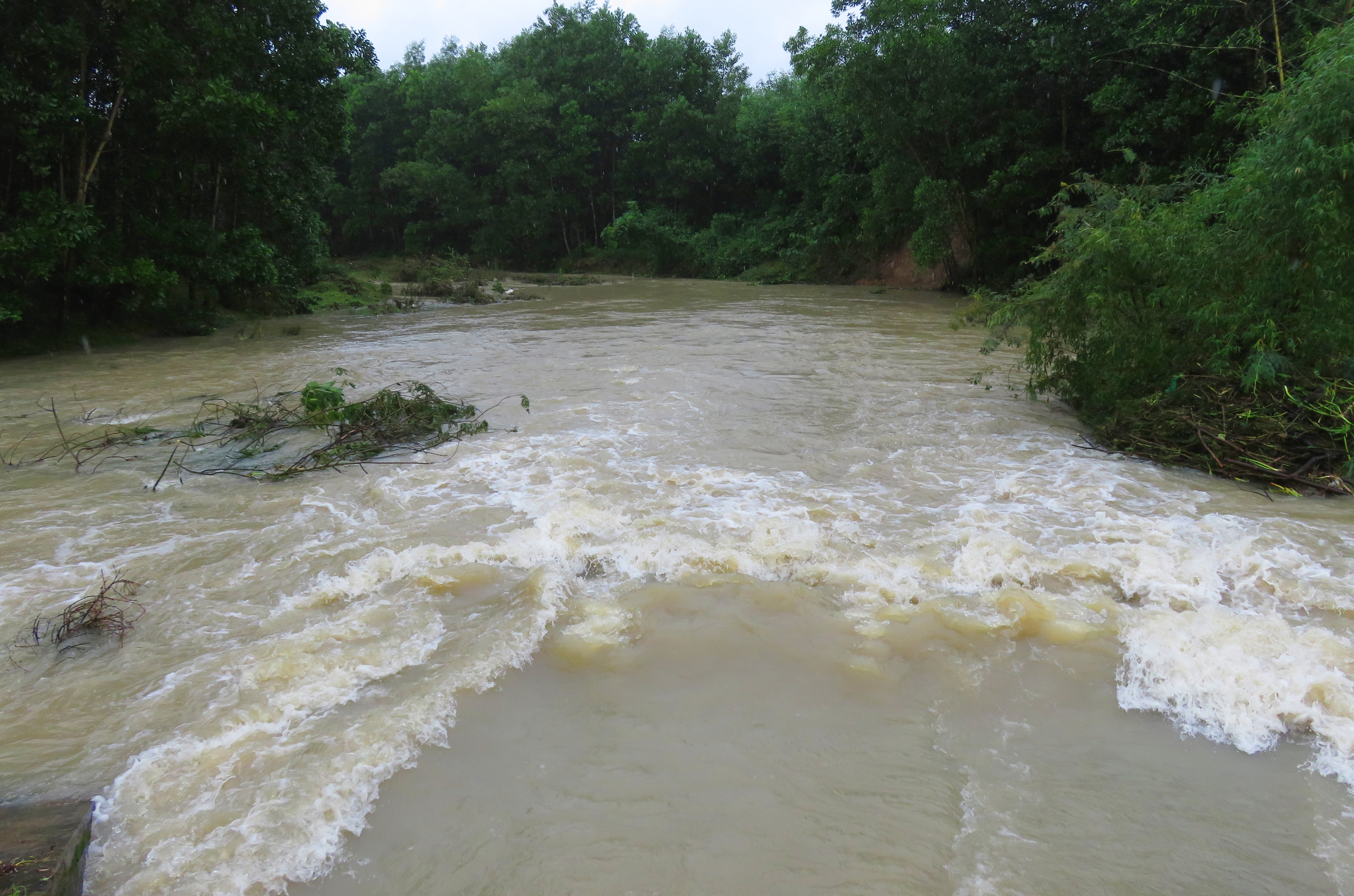
High flows at the put in bridge.
|
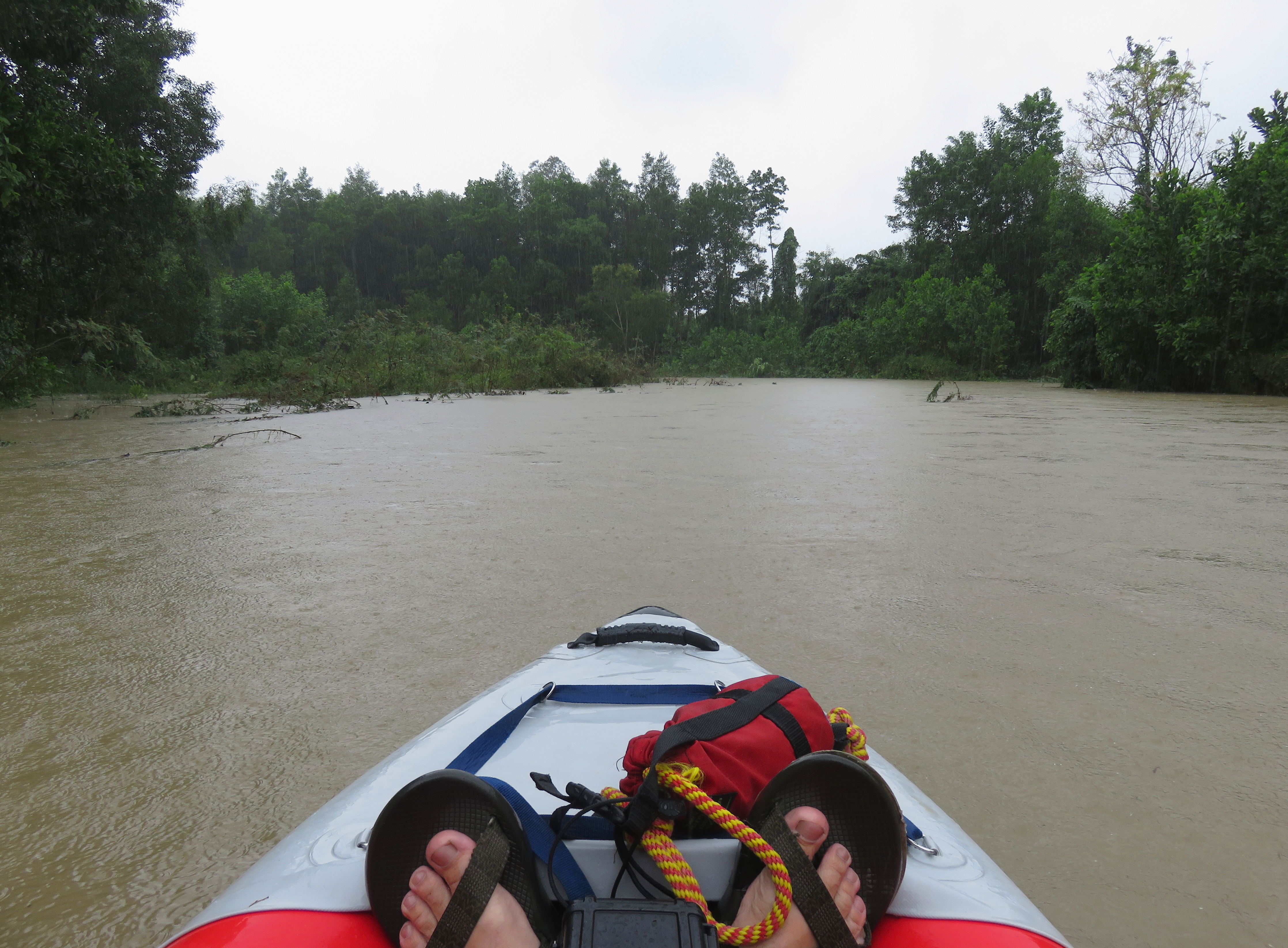
Mid-stream below the put-in.
|
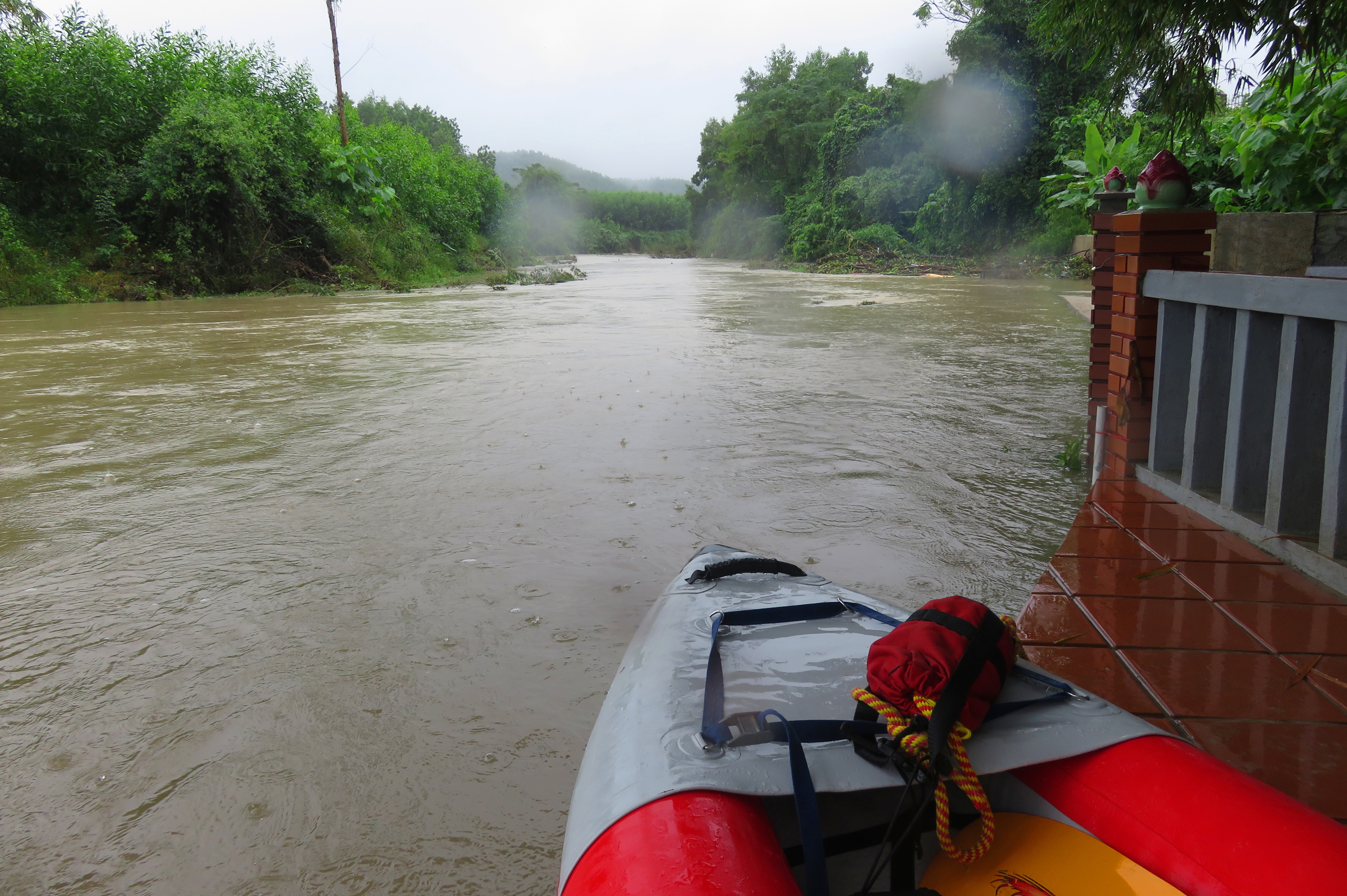
The "Lower" section of this creek starts at the bridge just outside of Thon An Chau, in Hoa Phu, Hoa Vang, and runs to the end of this creek where it joins the Luong Dong River. At the put in, the river goes under an old concrete bridge, down a small ramp, and then over an interesting artificial drop. At lower flows it is possible to go under this bridge and run the drop beneath it, but at high flows the clearance disappears and the fun looking feature becomes sadly unaccessible. Still, there are good access on both sides of the bridge.
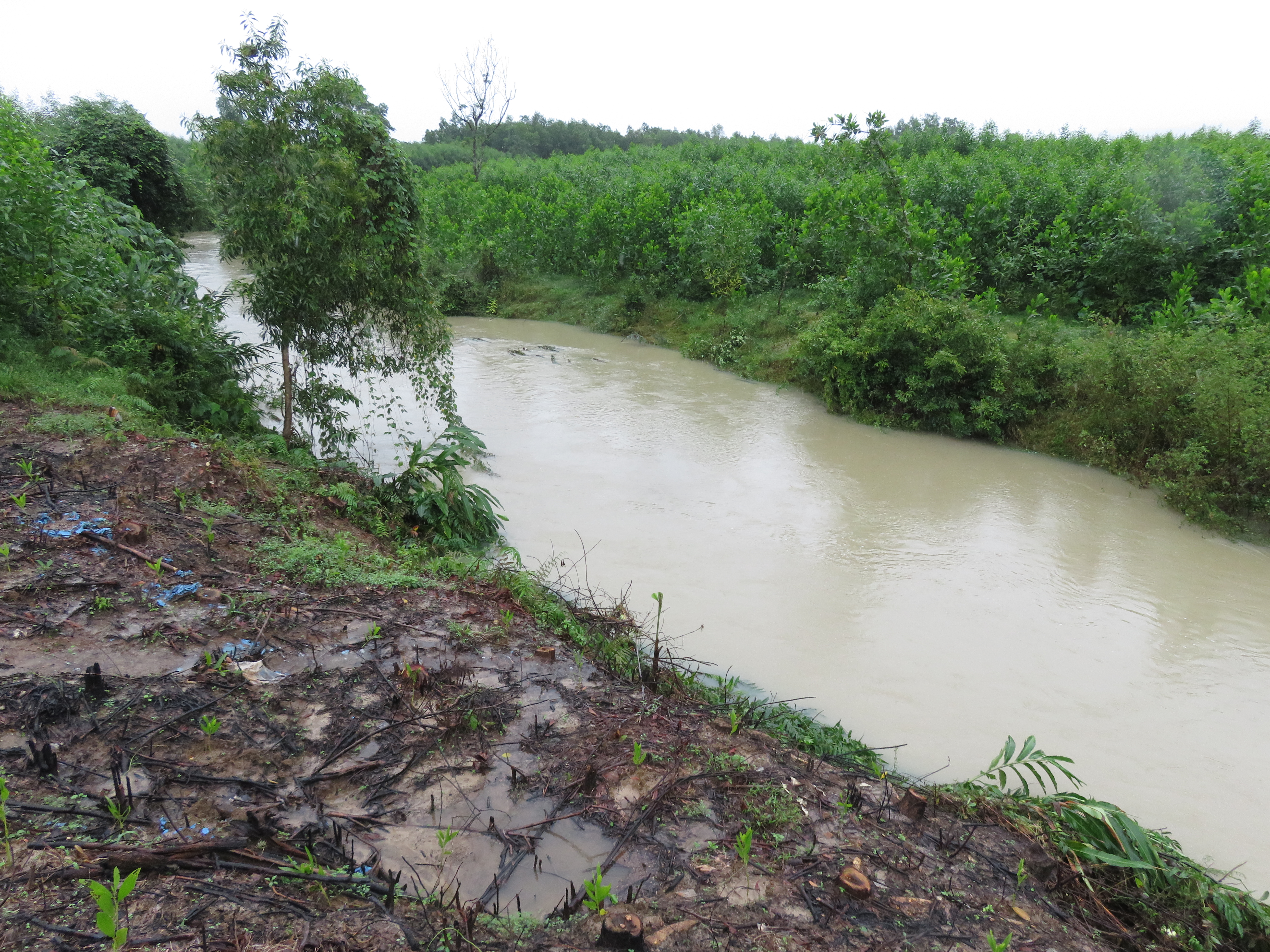
Rare gap in the vegetation allows for a view upstream....
|
....and downstream too.
|
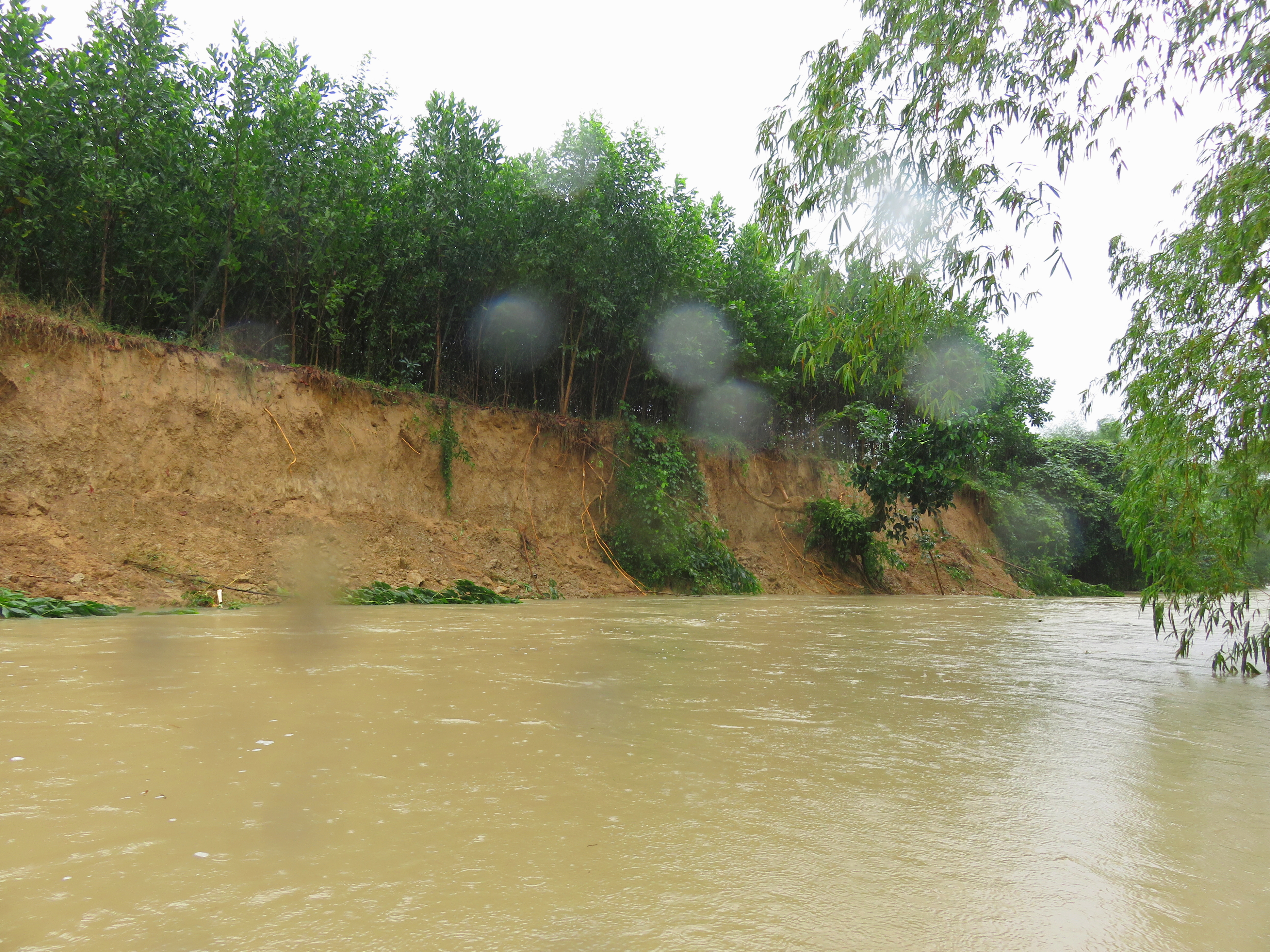
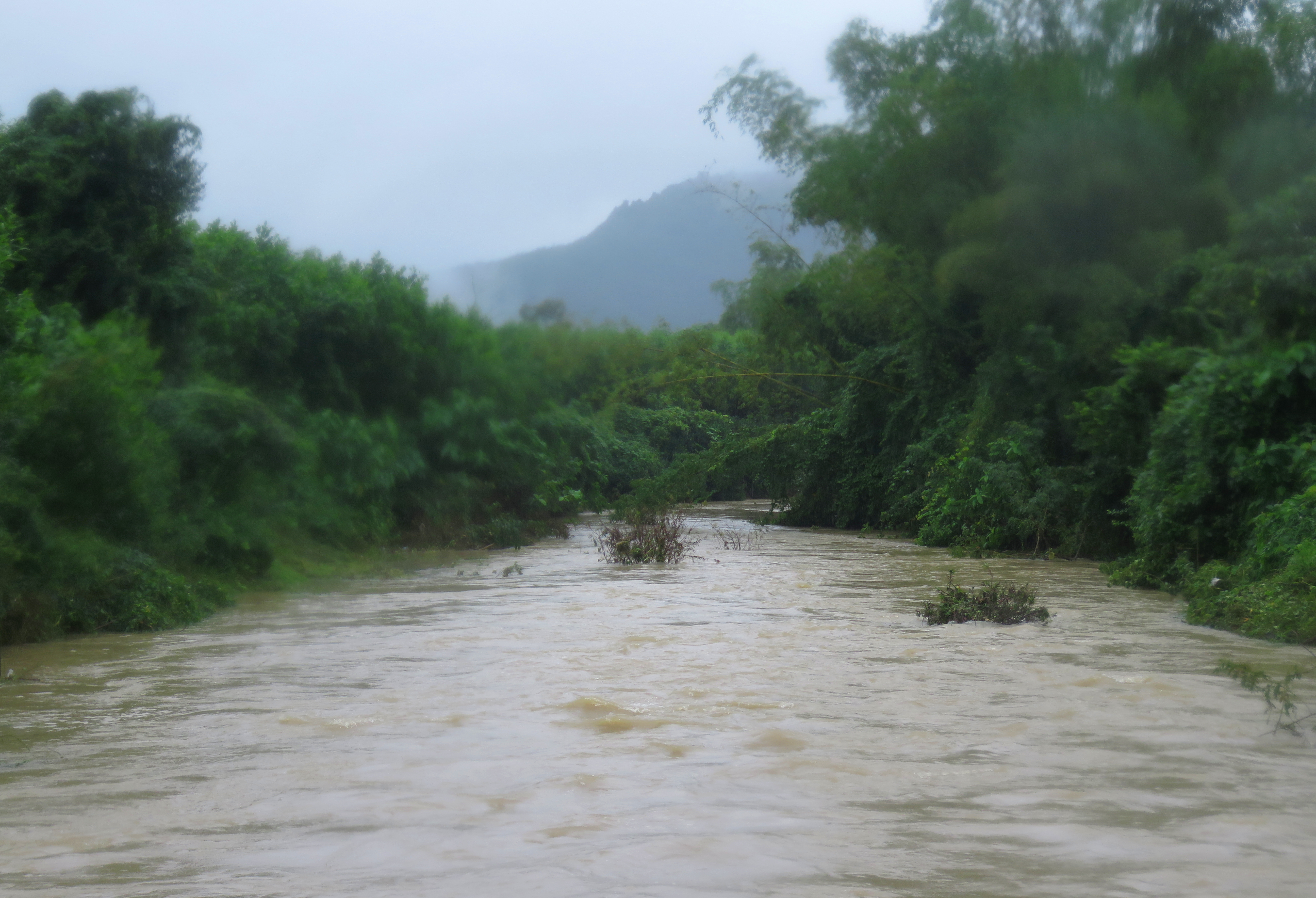
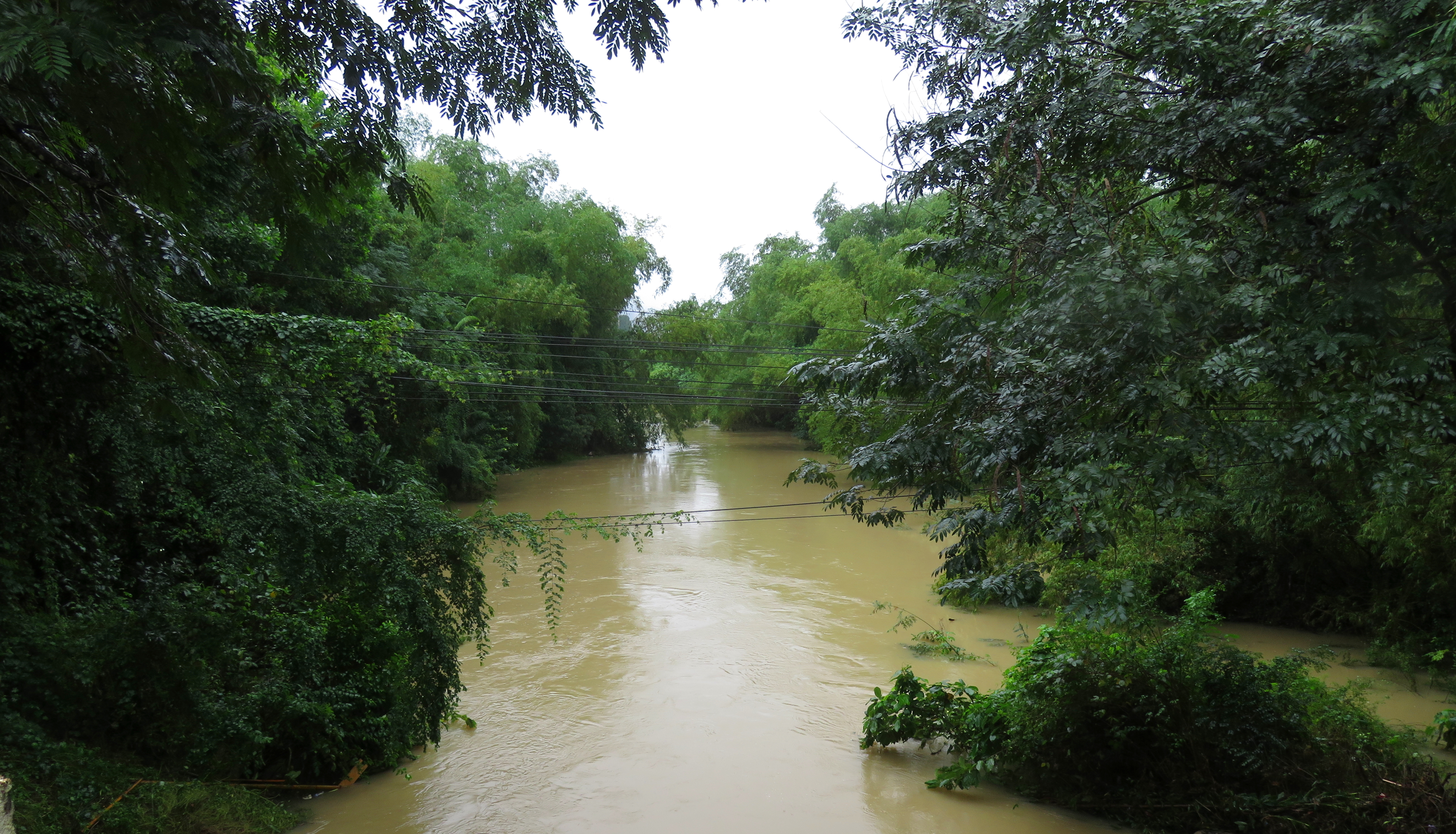
The character of the run is the same for most of the 4 km- mostly overgrown riverbanks studded with groves of bamboo and vines and ferns. The lower the flows, the more dodging these hanging strainers and branches you will have to do. At higher flows the stream is wide enough to not worry about it, so long as you don't get too close to the river banks. The river goes through several corners right away, with a few open farm fields breaking up the corridor of green in places. The riverbed is entirely sediments here and as such there are zero rapids and it is class I flatwater the whole way.
Short pause at the Temple.
|
In the sediment "canyon" in the second half.
|
A short ways down is one of the "highlights" of the run- a small patio on the riverside, located just below a Buddhist temple complex. Here some young bamboo are growing and providing shade over a small, tiled area with several chairs and swings. If there are people here, please be respectful as they may be in meditation. However, they also may wave you over to smile, shake your hand and say hello. If so, please be kind. And, if you arrive and find no one here, please enjoy it respectfully.
Looking downstream from the bridge portage.
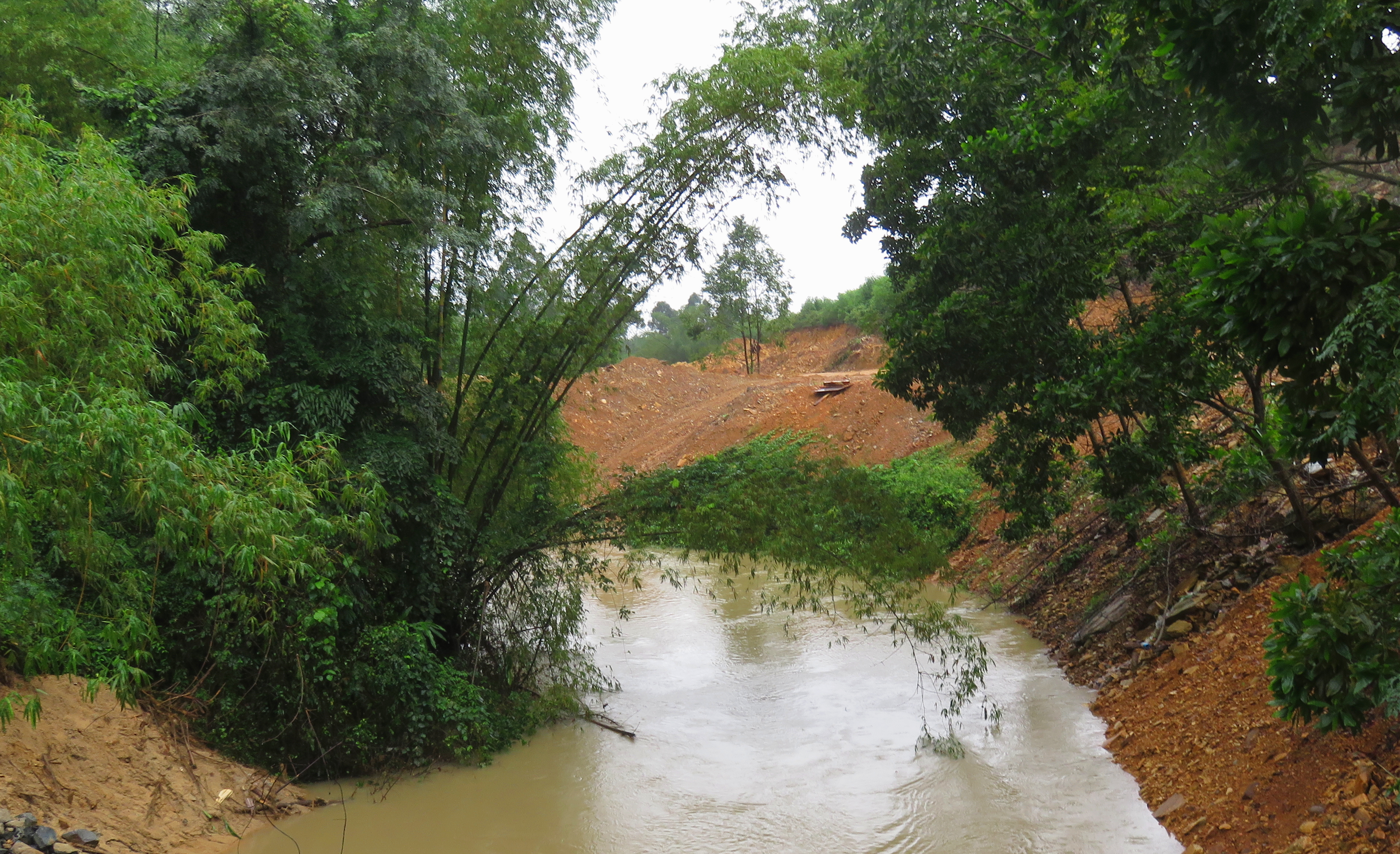
Below this the stream character actually changes a little bit. A short ways below the temple complex is a low bridge that must be portaged. Its not the easiest portage although there are routes on left and right. Below this, small walls of sediment begin to rise on the left, before falling away to open farm, and then rising again. On the right they slowly rise all the way, and on both sides after the last open break, the vegetation really explodes. Huge clumps of bamboo and large, expansive trees and shrubs create a solid corridor of green. Fortunately there are no rapids in here, as trying to scout or portage anything would be difficult. Towards the end of the run is some road construction on the left, but it is quickly passed and of little note for now.
Upstream from the 14-G bridge; the stairs takeout are just out of frame to the right.
|
Looking downstream from 14-G bridge; the Song Luong Dong is just out of view to the left at the end of the stream.
|
The takeout is found at the last bridge you past under; hike up the stair-like drainage steps on river left immediately upstream from the bridge, and up to the road. It's steep and a bit awkward to transition from water to stairs, but its simple enough and quick. There is a petrol station literally 20 m down the road to the left to park and regroup at. In the end, this run by itself will never be a classic, but it is an intriguing option when other nearby options such as the Tuy Loan and Luong Dong are blown out and flooded, and it makes a fine end to a full Bamboo Creek trip. Like kayaker Darin McQuoid says, "I'm always a fan of doing something once", but this run should be looked at as more of "back up plan" or a finish to the Upper section than a destination stream by itself.
The Video
The Map
|
All photos copyright Kit Davidson.
All maps copyright Google MyMaps. |
