
Giang River- Lower Canyon
|
Section Length: 5 km
Put In: bridge near Ta B'Hing Take Out: bridge near Pa Xua |
Difficulty: II+
Est. Flow: any (minimum apx. 300 cfs) Paddlers (on this page): Alfonso Perez and Cuong Tran |
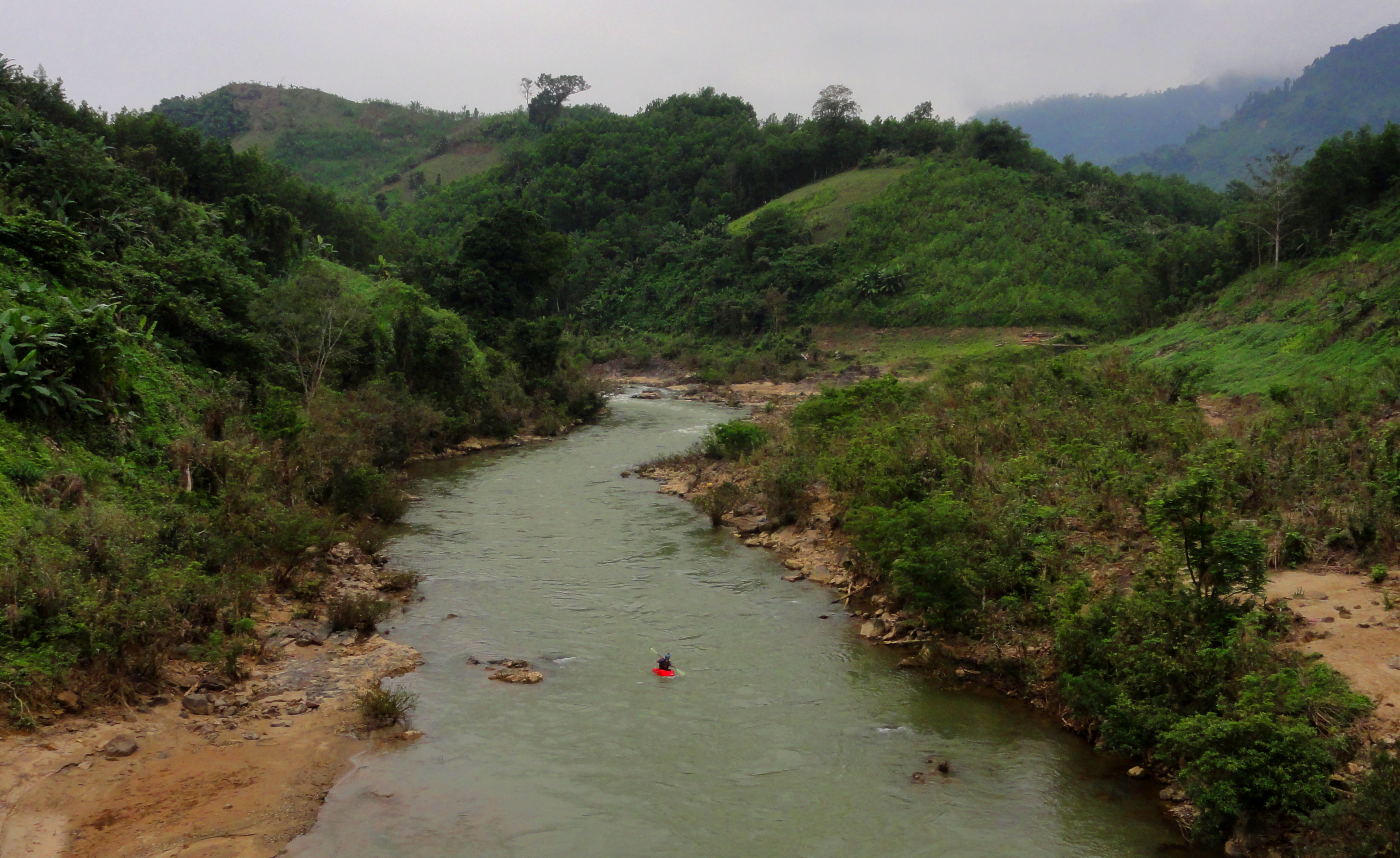
At the put in bridge. The Kan Chen Rapids are around the corner to the left.
Near the Co Tu villages in Ta B'Hing, in Nam Giang, there is a large and powerful river that drains a huge area of mountains in the southwest corner of Quang Nam. This river, the Giang River, or "Spirit Genie River", is mostly inaccessible due to a lack of roads, but it's final canyon before leaving those mountains holds a great easy stretch of river. While not difficult, the scenery is incredible, and when combined with the Roadside Song Thanh just below, it turns into a 10 km stretch that makes a great day of boating. More importantly, this river can be run almost year-round (with the exception being high water season), and when you factor in it being only two hours from Da Nang, the result is one of the better beginner streams in the area.
Looking up at the put-in bridge.
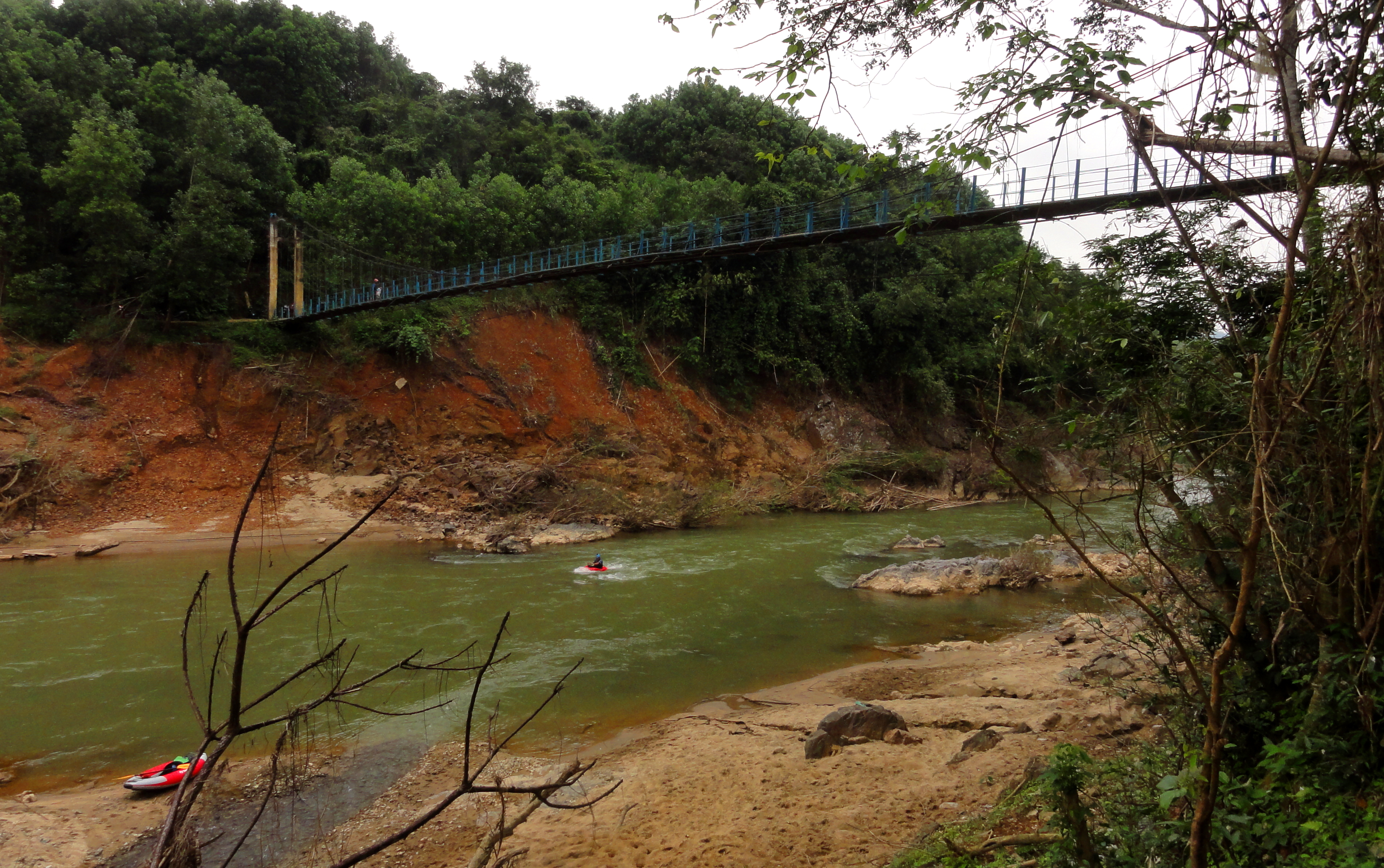
Most rivers we run in Vietnam we can see pretty clearly on Google Earth if we can't get a good look in real life. This gives us at least a decent idea of what to expect on the river. This section of river, however, used to be inconveniently located in one of the few remaining low-resolution areas on Google Earth, so we didn't really have any idea what to expect. In fact, I didn't even know this section was accessible until one day I happened to be randomly stumbling on my wife's iPhone, and realized Apple Maps had some higher res coverage of the area. It was also newer coverage, and it revealed that there was a new government footbridge spanning the river about 5 km upstream from our normal put in on this river. The better coverage also revealed the existence of several larger rapids not far upstream from that bridge, and so our plans fell into place pretty quick to give this section a go. (As of November 2018 this area is now under high-res in Google Earth.)
Downstream view just below the footbridge.
The put in for this section is found not far off Highway 14-D, perhaps 1 kilometer down a concrete path that ends at a government built suspension bridge. Spanning over a narrow pinch in the river, the footbridge is incredibly beautiful, especially considering it sits right next to a small side stream that falls into the Song Giang via a series of small waterfalls. The bridge is also a dividing line in the river, as it marks the end of the advanced and difficult rapids upstream from the gentler and much easier section below. For those looking for a bit of an adventure, it is possible to walk up and run the last handful of the advanced rapids, called the Kan Chen Rapids after the falls in the middle of them of the same name.
Cuong ready to go.
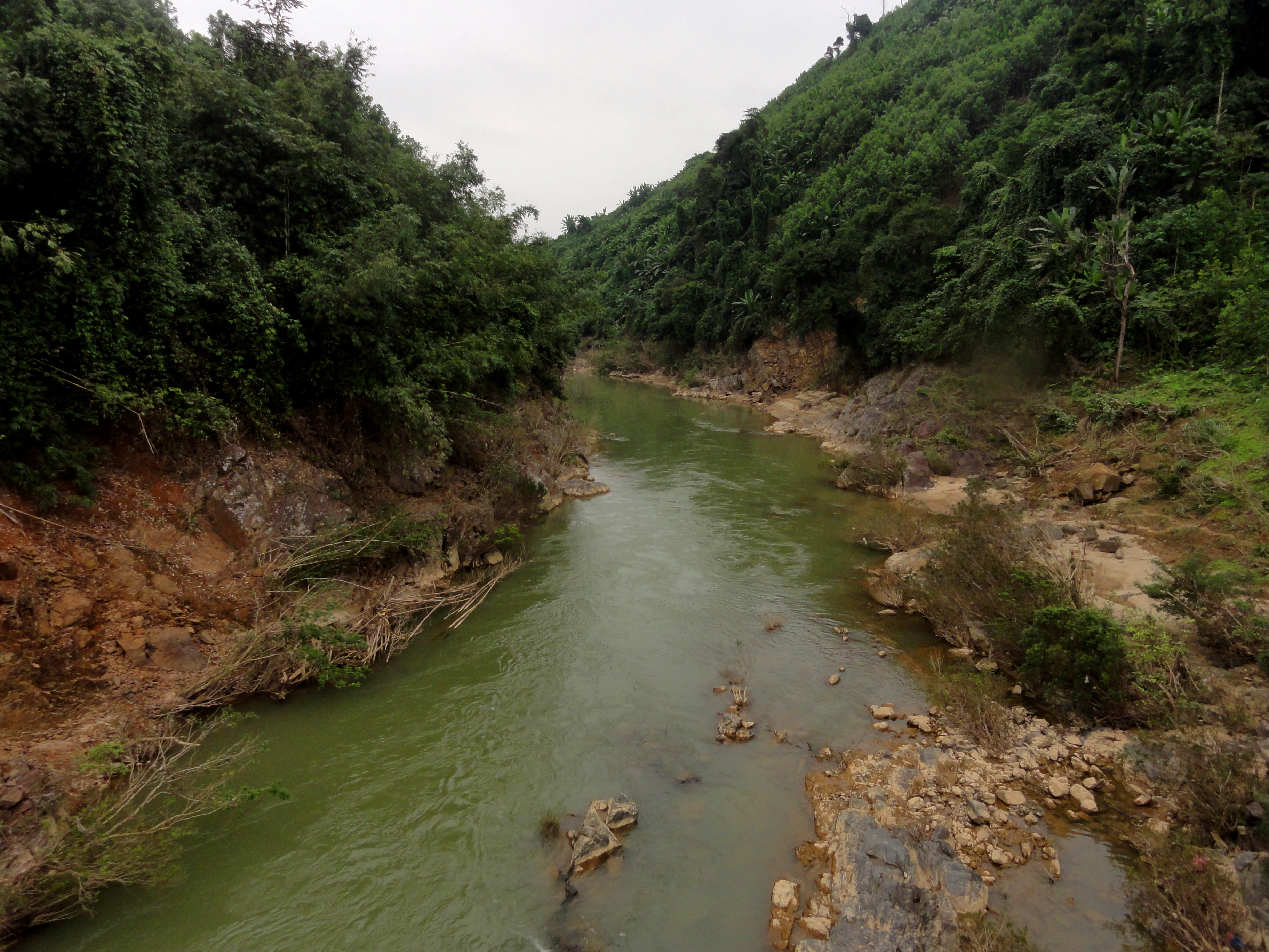
This footbridge spans the river as it passes through a narrow pinch, but there's no gradient so it is a flat channel through. The slopes of this narrow pinch showed evidence of the major flooding that affected Quang Nam in the final months of 2017, and the scour lines were pretty insane, almost 8 to 10 meters above the "normal" water line. Looking back at flow data, I guess there was around 20,000+ cfs flowing through here during that flood, which must have been a sobering sight to see.
Not a bad place to put in at all...
Looking downstream.
|
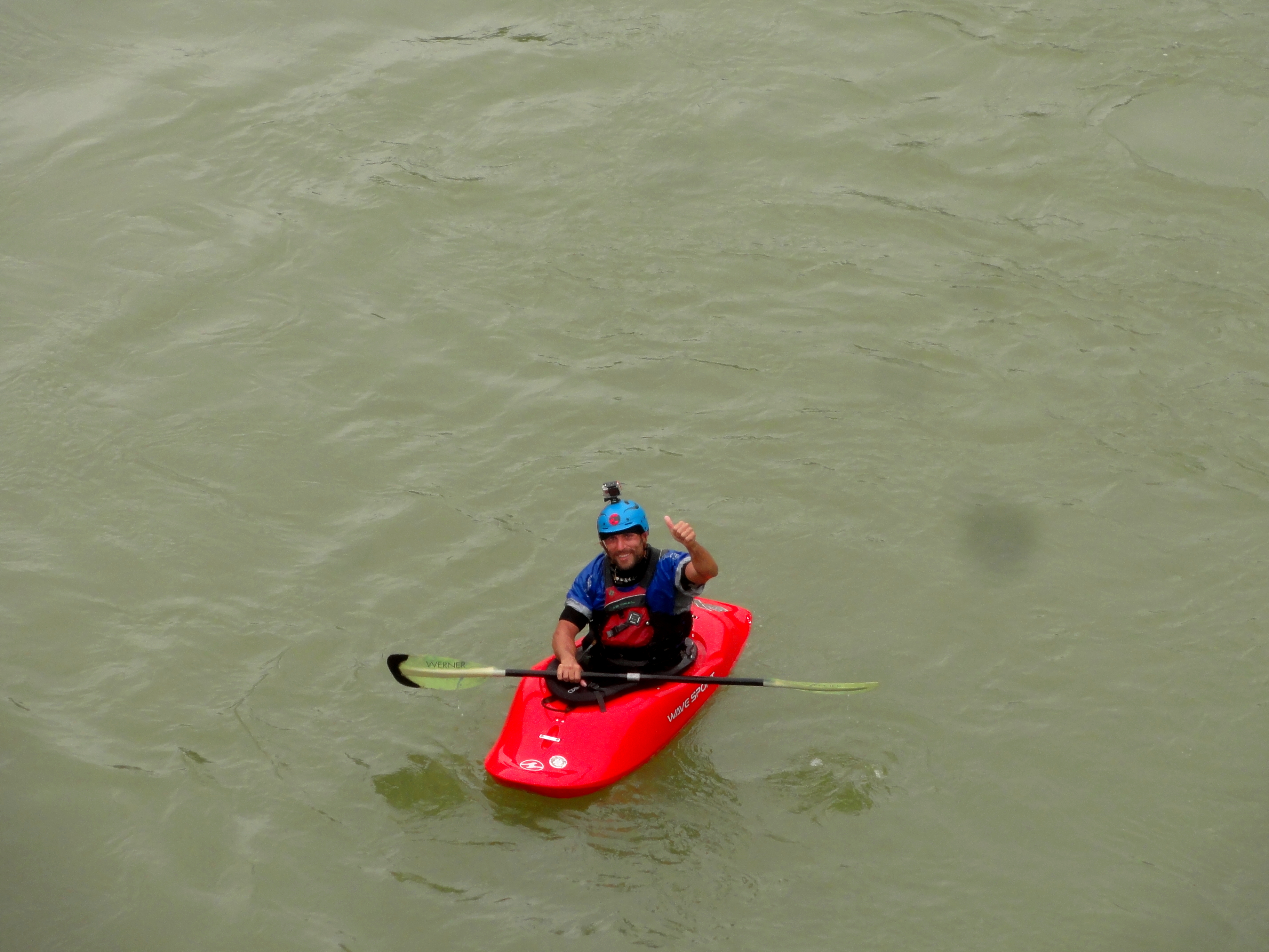
Hi Alfonso!
|
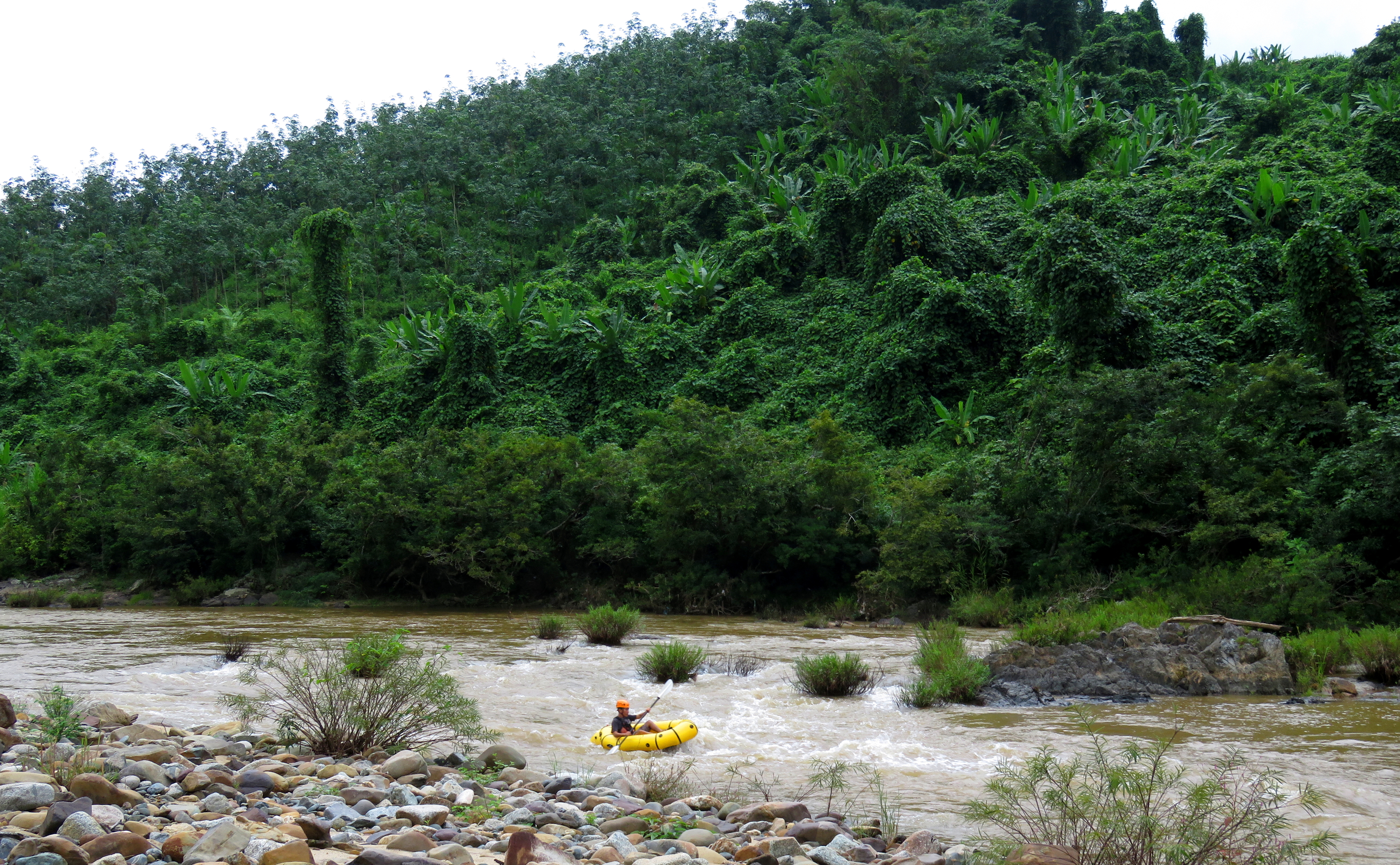
Cuong in the upper half of Excelsior Rapid.
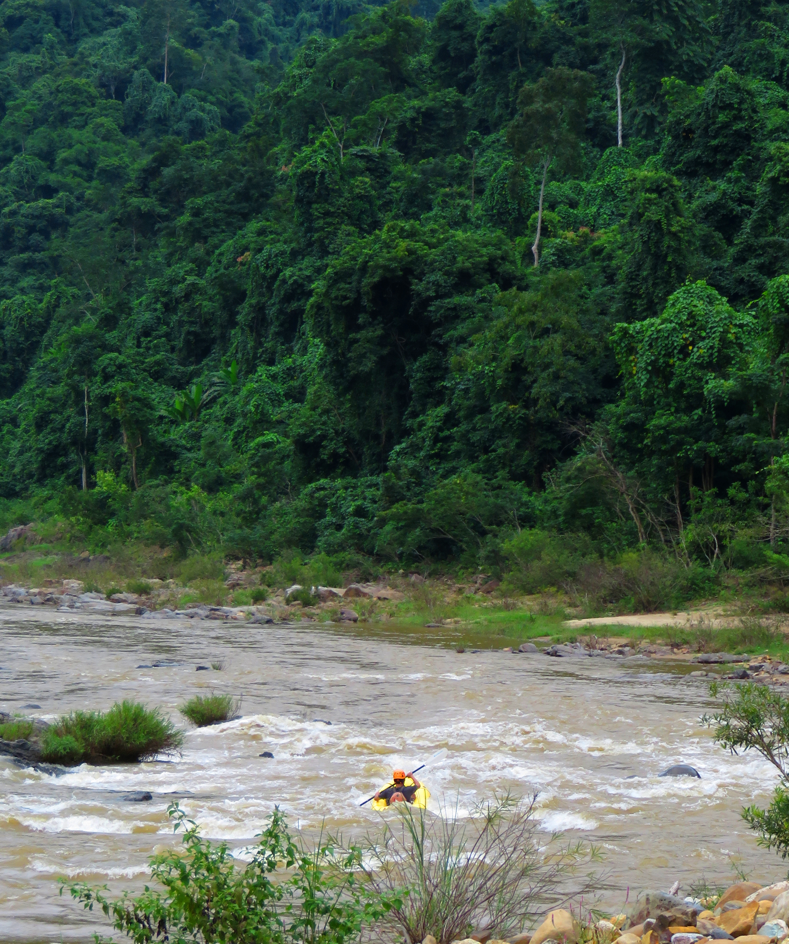
Around the corner, the narrow pinch opens back up into a wider canyon. Using the same Apple Maps coverage as before, we estimated that there was a sizable rapid around the next corner. Here, the river makes a big swing to the right, and Suoi Ta B'Hing, a side stream that drains the small valley to the west, joins the main flow. On Apple Maps it looked like the rapid started above this confluence, wrapped around the corner, and went on some distance before ending. However, thanks to the recent floods, it was clear the riverbed had been changed considerably, and instead of one long serious rapid, it was just two easy rapids, Upper and Lower Excelsior, at the middle and bottom of the corner. Fun, but super easy.
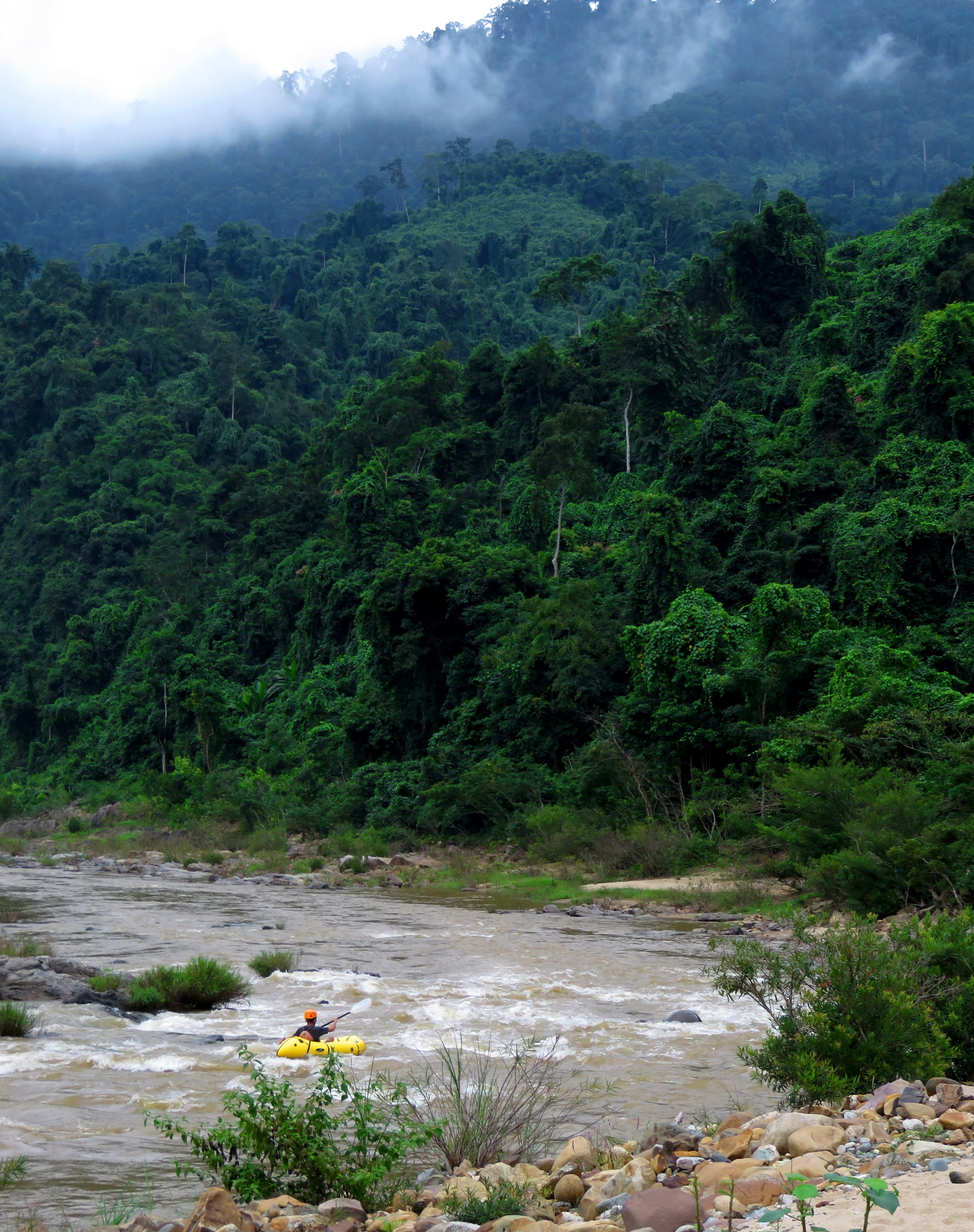
|
|
Cuong running Lower Excelsior Rapid. (Both L & R)
Cuong finishing up the lower half of Excelsior Rapid.
Below this rapid, and just above the next smaller drop, a tiny side stream enters the river on river right. This little stream has a beautiful mini-gorge on it just before it meets the Song Giang, and inside it are several tiny low-flow waterfalls that are very beautiful. It takes less than 10 minutes to climb up to the top and back down. There doesn't seem to be many visitors to this gorge, except to the very bottom, where we found several chunks of bamboo cut down to usable size. However, walking upstream up along the creek is thick with spiderwebs, which shows that it likely isn't explored that much. After you are finished, head back to the boats, where a tiny rapid awaits.
Enchanting mini gorge.
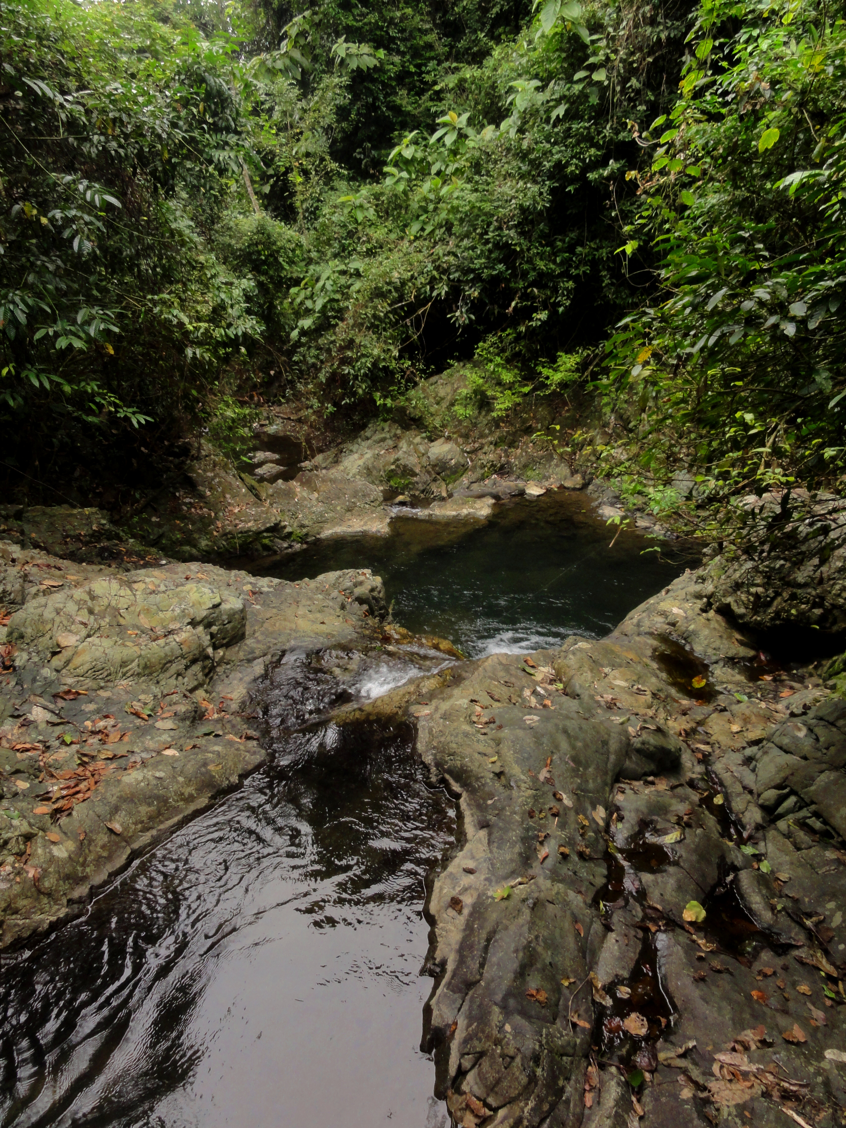
Looking down the mini gorge.
|
More mini gorge.
|
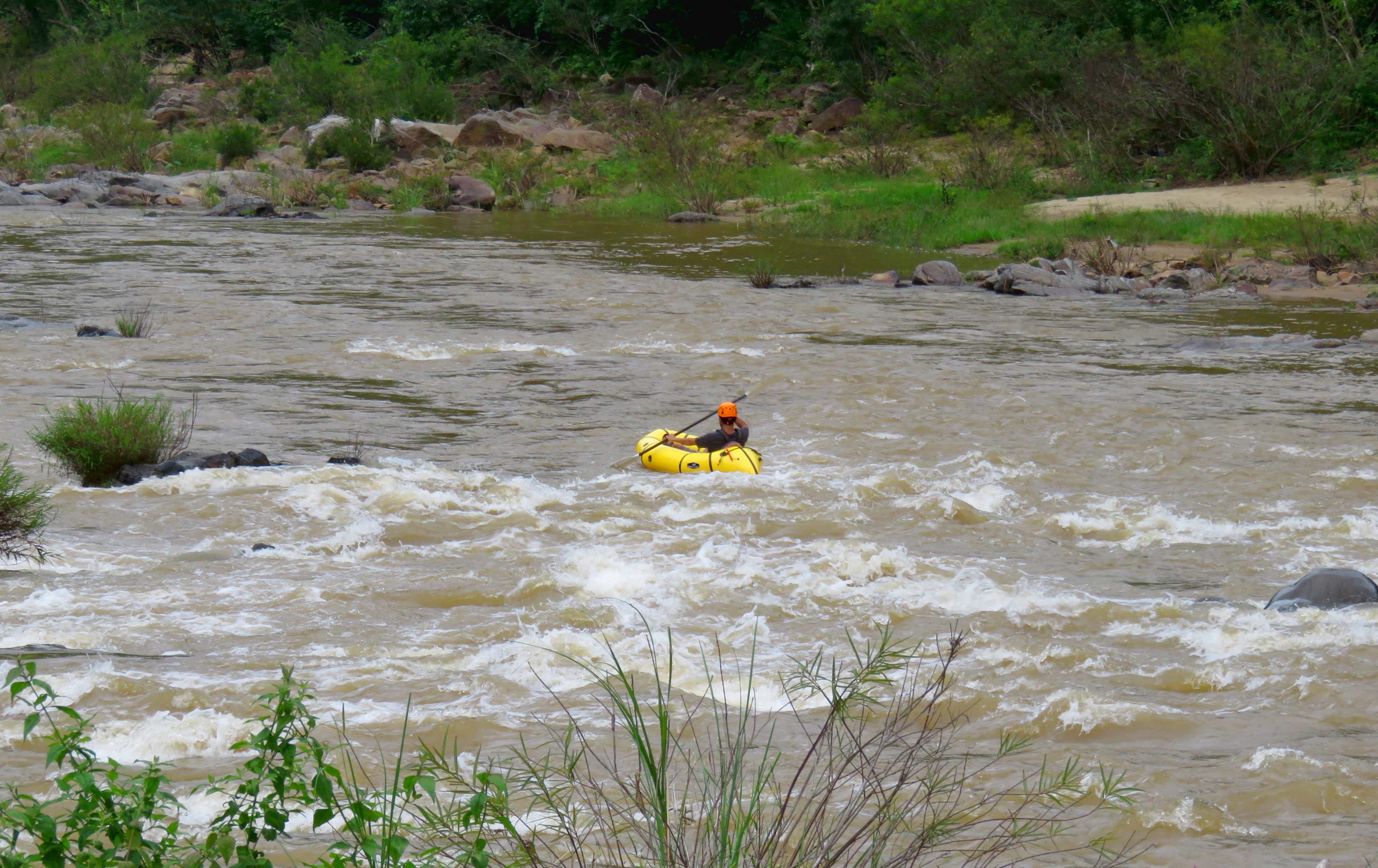
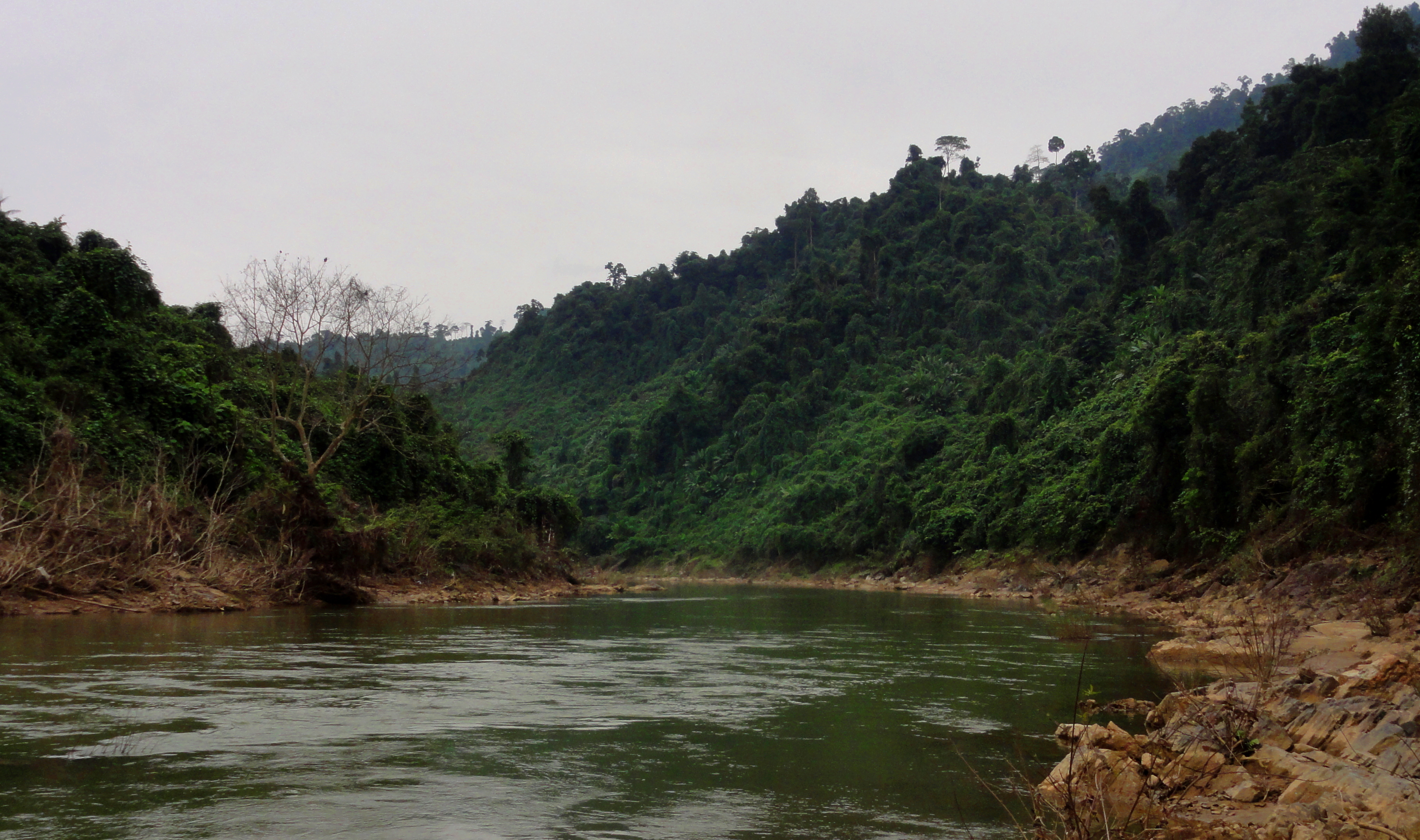
The next "rapid" just below this side stream is the last real rapid of the run, and it is nothing but a fun ride over some small but fun waves. Playboaters may fiind some fun downriver play in here, as well as an OK wave at the top that can offer up some small surf. This is yet another rapid that looked much more serious on the Apple Maps coverage, but was likely washed out and re-shaped significantly during the 2017 floods. Below here the river stays mostly flat and calm through a couple more small corners. There is a fair amount of old growth on some sides of the river, although there has been some recent logging as well.
Song Giang scene.
|
|
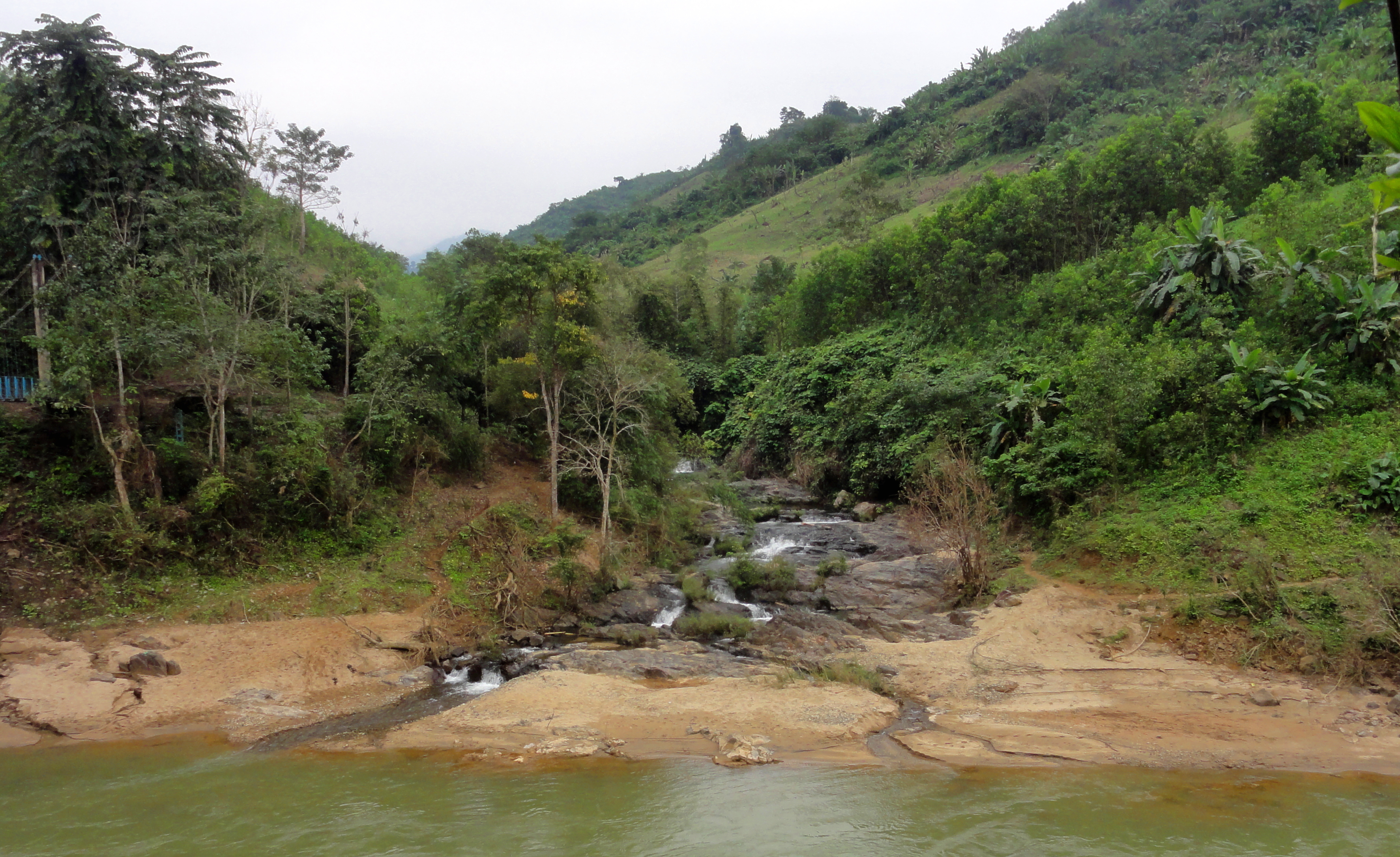
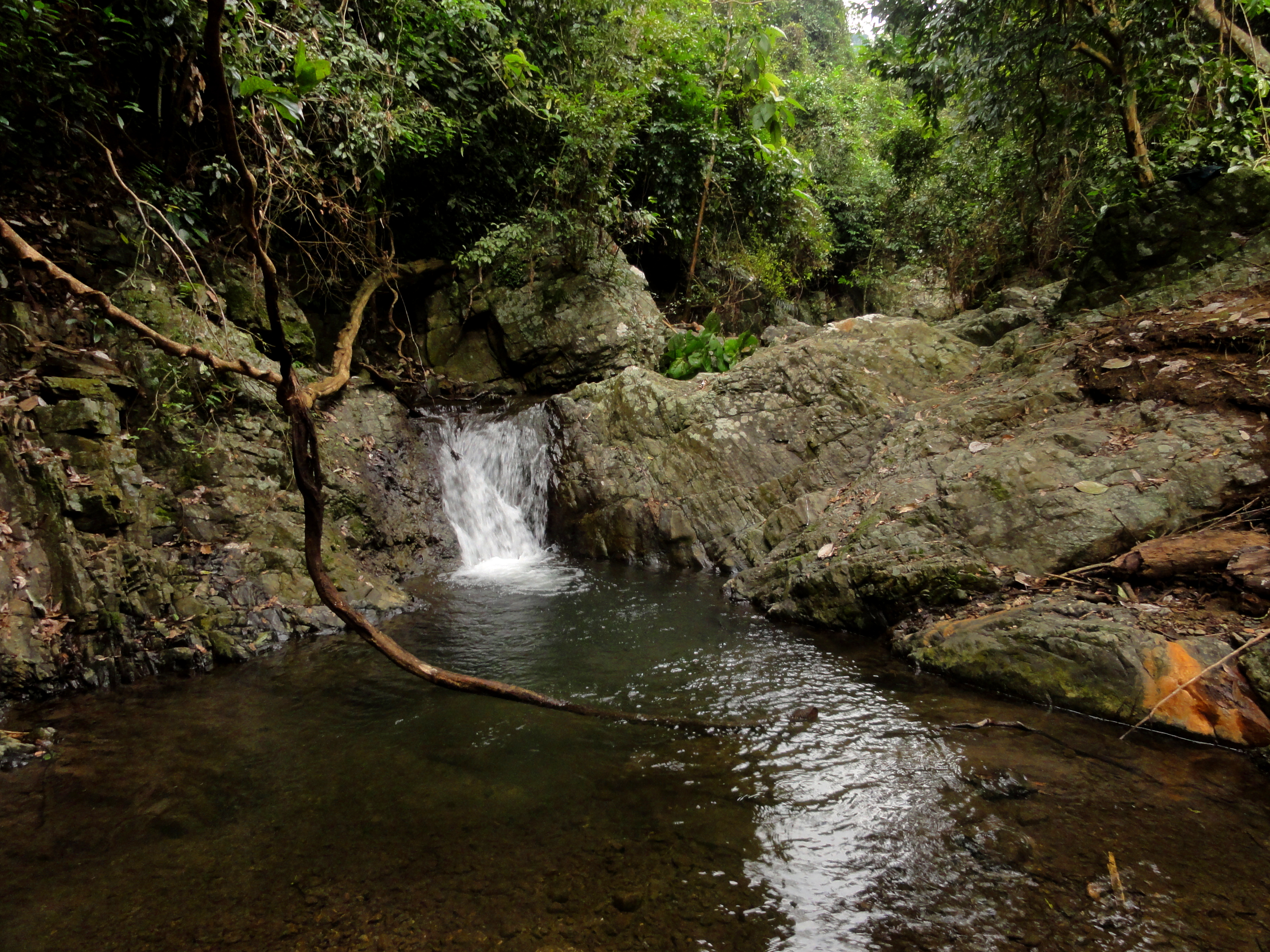
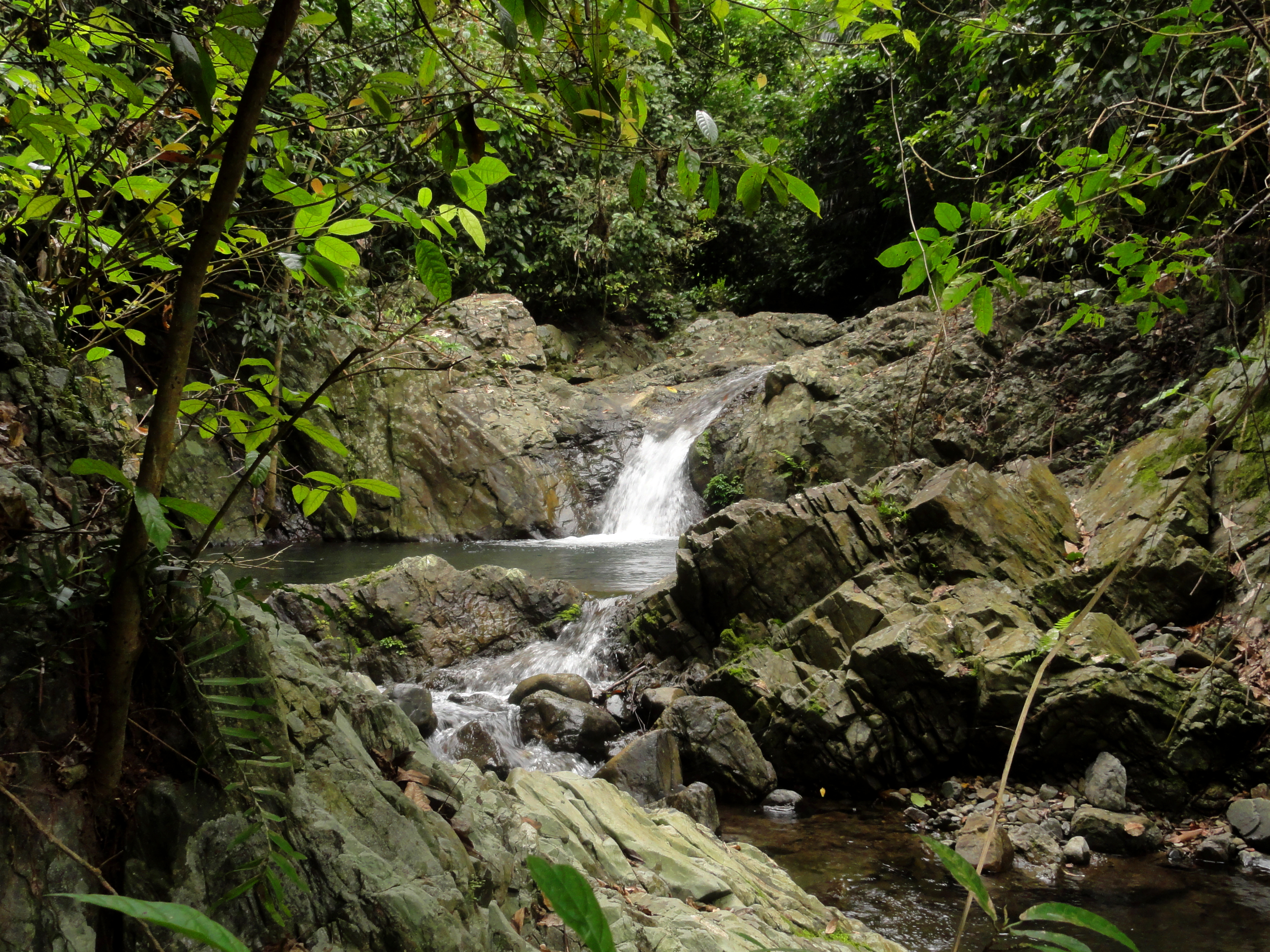
Below this rapid is a flat section, and then the second of the interesting side streams appears, also on on river right. This one is much steeper than the first, and holds a sizable low flow waterfall that could be in the neighborhood of 30 feet, or around 10 meters. The creek falls over this drop into a small pool, and then falls through a cascade of rocks down into the river. It takes but 2 minutes to scramble up here from the river.
Lush mini gorge.
|
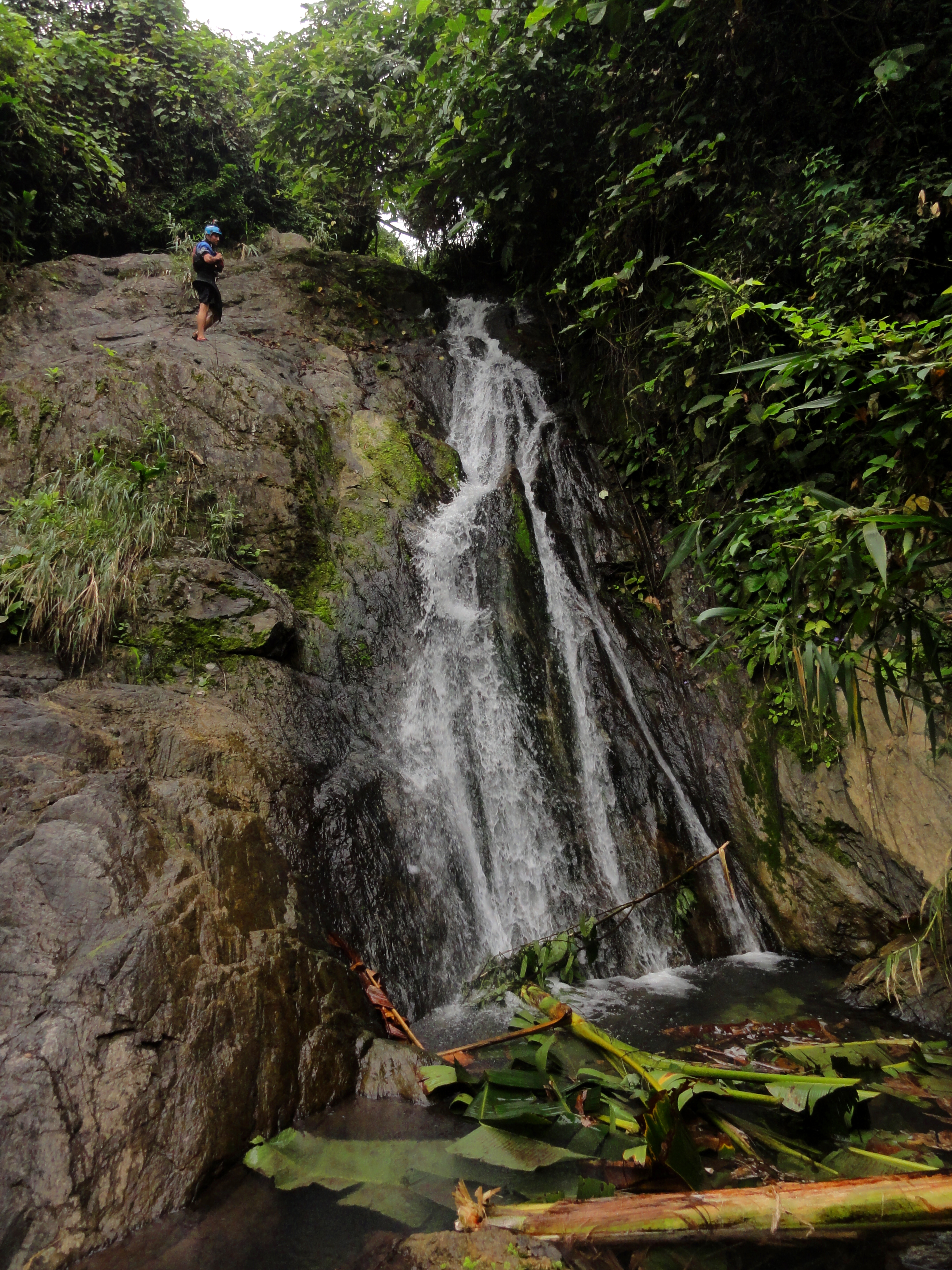
12 m falls.
|
After the second side stream the river goes over a small rapid ("Fan Rapid", because its shaped like, you know, a fan) and then it opens up from the small canyon is has been coursing through. Not long after this is the government suspension bridge that marks the end of this section and the beginning of the Roadside Song Thanh section.
Looking down river.
The Map
|
All photos and videos copyright Kit Davidson.
All maps copyright Google MyMaps. All music copyright original owners and is not to be used for profit. |
