
Buffalo Creek - Final 1 Km
|
Section Length: ~ 1 km
Put In: road ford below dam Take Out: highway bridge |
Difficulty: Class II+
Est. Flow: ~ 50 cfs Paddlers: Kit Davidson |
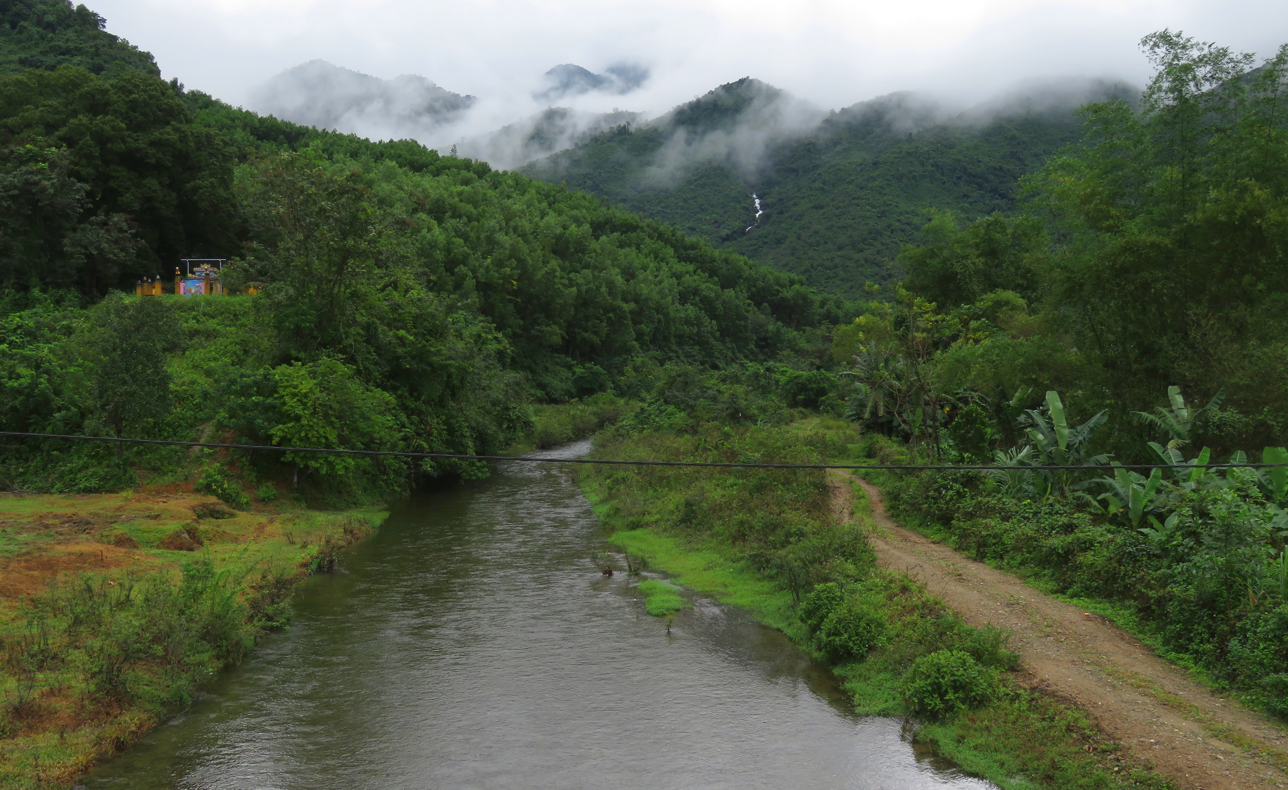
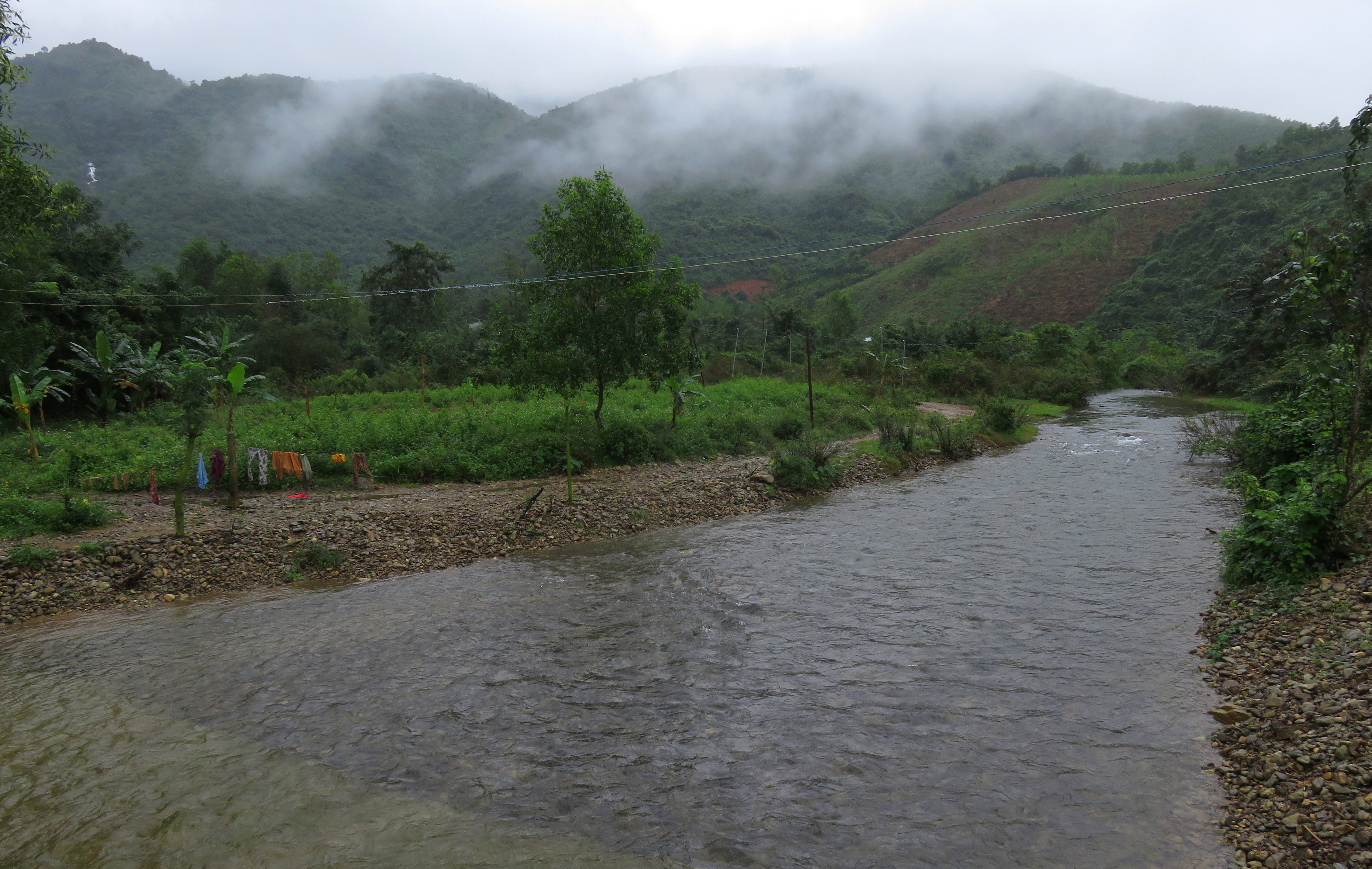
Looking up Buffalo Creek from the main bridge.
Buffalo Creek is the unofficial name for Suoi Hoi Yen, a small tributary of the Cu De River, in Hoa Bac, northwest of Da Nang. This small stream is normally an ankle deep mountain creek where local water buffalo come to relax in the heat of the day, but for a brief period during the winter, this stream is actually runnable. The water quality is very high but the boating quality is extremely low. This write-up is essentially a placeholder to say it has been explored, and it's not worth re-visiting.
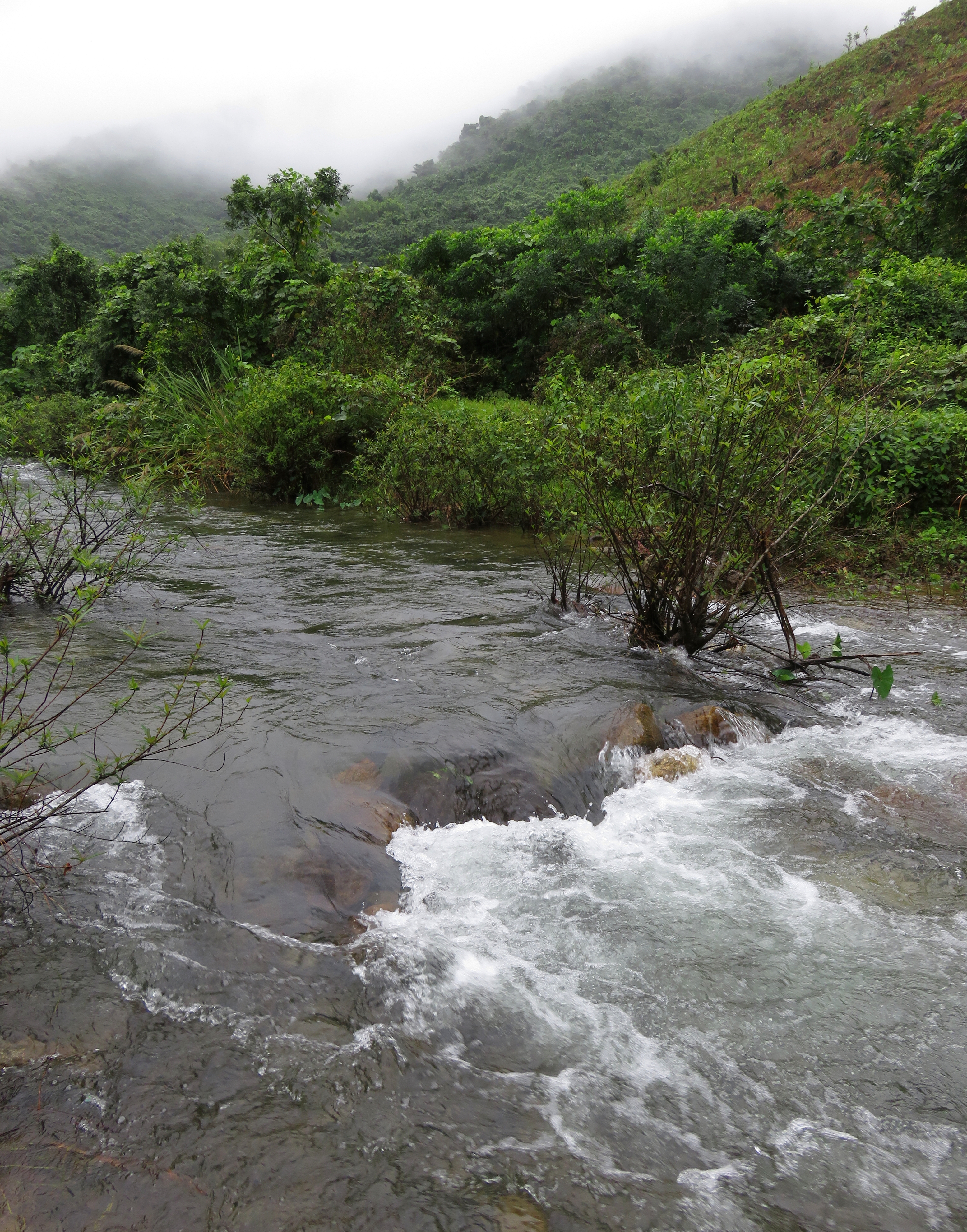
Looks ok upstream...
|
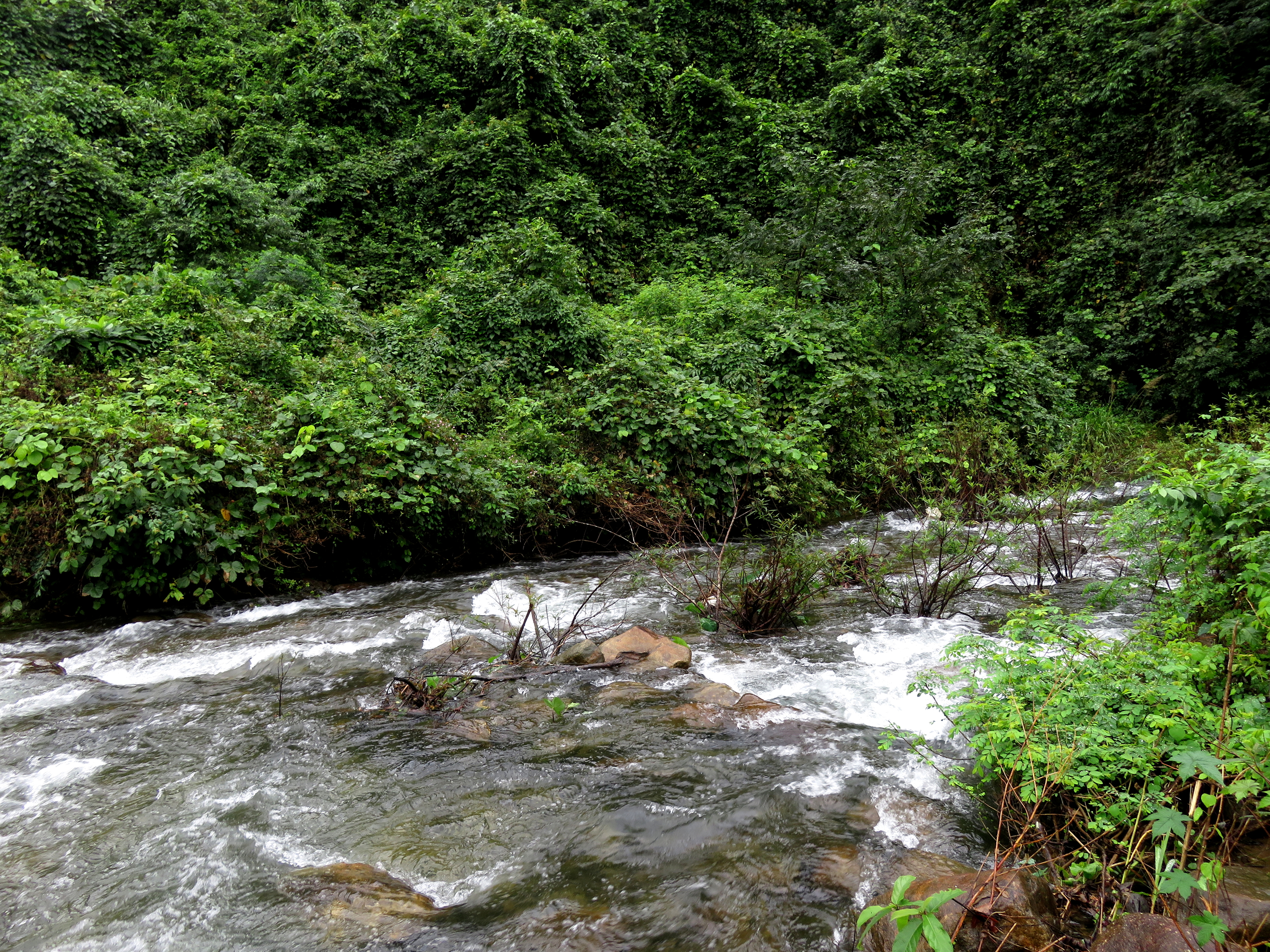
...but questionable down.
|
As such, this should not be a run on your "to do" list. It is a small stream, with heavy riverside vegetation, awkwardly placed rocks, and not much room to maneuver. I'm still not sure what compelled me to seek this stream out as a realistic possibility for paddling, but somehow one day in January 2019 I found myself at the put in, ready to paddle this stream. While I am a firm believer in doing everything once, and I do like to live life with the motto of "Do Something Awesome Every Day", its a stretch to call this anything more than novelty boating.
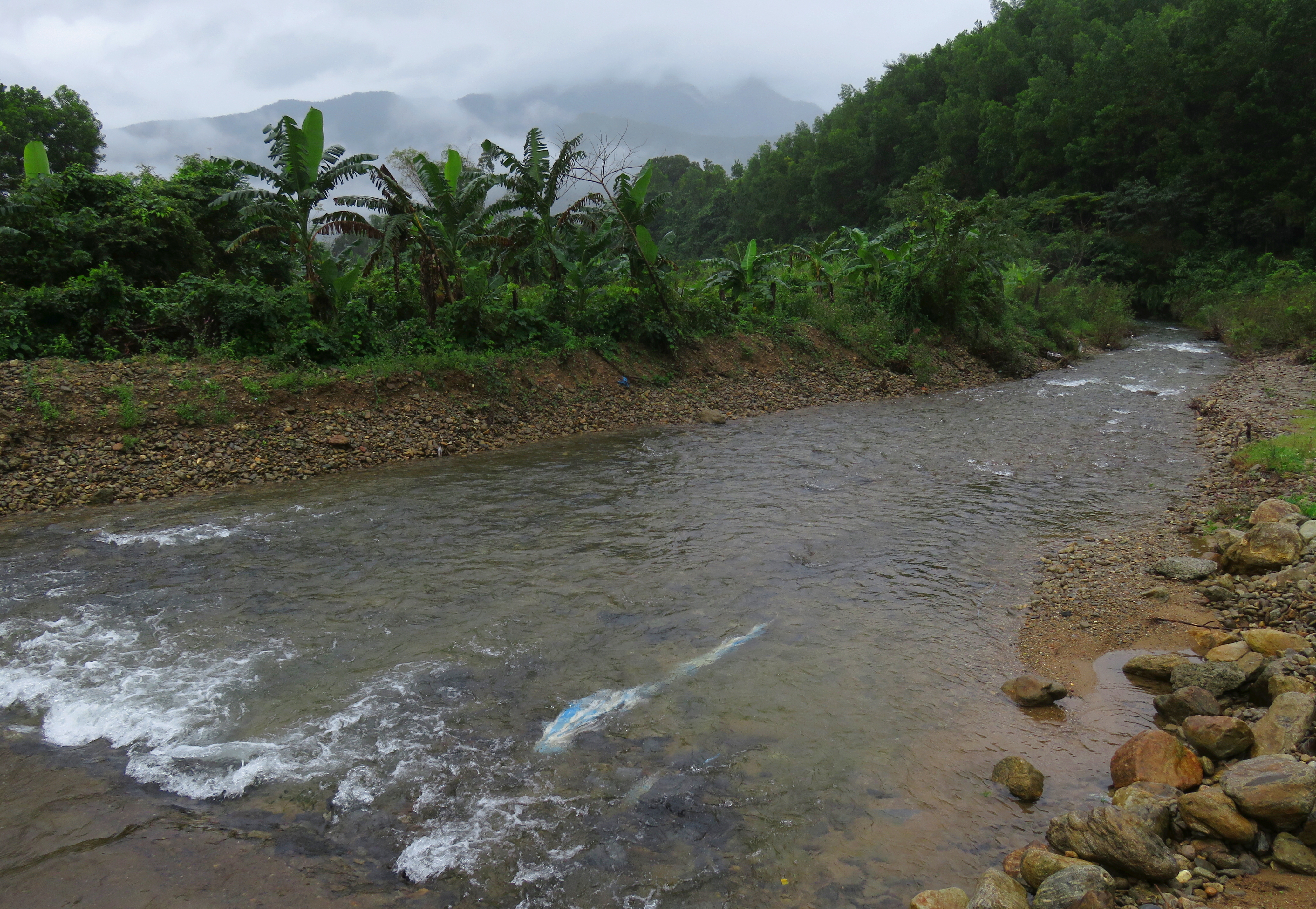
Looking downstream from the midway bridge.
That being said, if I can't turn you away, here is some limited beta: the bottom kilometer of this stream, with enough flow, is boatable. While not clean, and likely to cause several brief pins, the section does go better than you would think. The put-in is found below a simple earth dam that spans the river. Right away a series of nice waves leads into an awkward rock and brush mess. A short open corridor, and then a junky rapid comes up. Below this is a brief corner, another nice/awkward rapid into the bushes, and a nice spell down to a mid-way bridge. Its shallow under the bridge, but after this bridge it does clean up and channelize better. There are no rapids until the takeout, just some random waves and splashy laterals. Takeout at the obvious bridge and don't say I didn't warn you.
Looking upstream from the midway bridge.
I haven't included a map for this run because you really shouldn't do this run. Seriously, if this is running that means the nearby South Fork of the Cu De is running, and it is a MUCH better stretch of river. If you are really diehard, look along the north side of the Cu De River on Google Maps, and find a stream (mis)named "Khe Hoi Yeu". You can figure out the rest.
|
All photos and videos copyright Kit Davidson.
|
