
Kon River- Lower Valley Stretch
|
Section Length: 10 km
Put In: below Song Kon 1 Hydroelectric Power Plant Take Out: road to Song Vang gorge |
Difficulty: II-
Est. Flow: any (minimum apx. 300 cfs) Paddlers: Not Yet Finished |
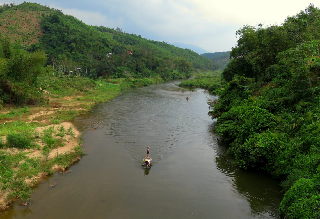
In the very final stages of the Song Kon Gorge, the river itself finally loses its last bit of gradient, and thanks to the conveniently placed Song Kon 1 Hydro Project, it is possible to put on here for a nice 10 km flat cruise down through the next series of canyons and river valleys. This is the lowest reasonable run on the Song Kon, as the section below this isn't worth doing, which we'll talk about later.
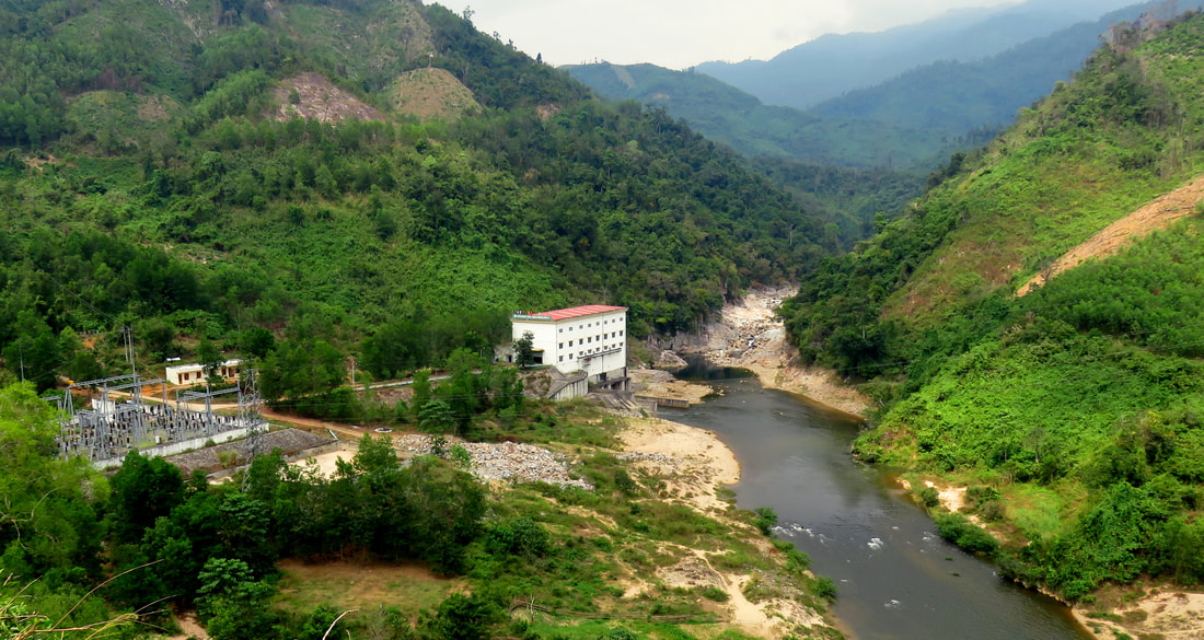
The run begins below the power plant. Most of the first kilometer is spent exiting the Song Kon Gorge, the massive cleft in the Tho Thennon Range the river has carved. After the power plant, the river turns first to the left, and then back to the right and goes around the toe of a hill before turning back left in a big curve. Here, it leaves the rocks of the upper canyon and enters the fault-line built An Diem Valley. Here it also joins with the Song A Ran, the stream that comes out of the mountains to the west and has a couple of different kayak runs on it. Below the gorge, the stream also makes a 90 bend to the east, abandoning the north-south alignment it had followed the gorge.
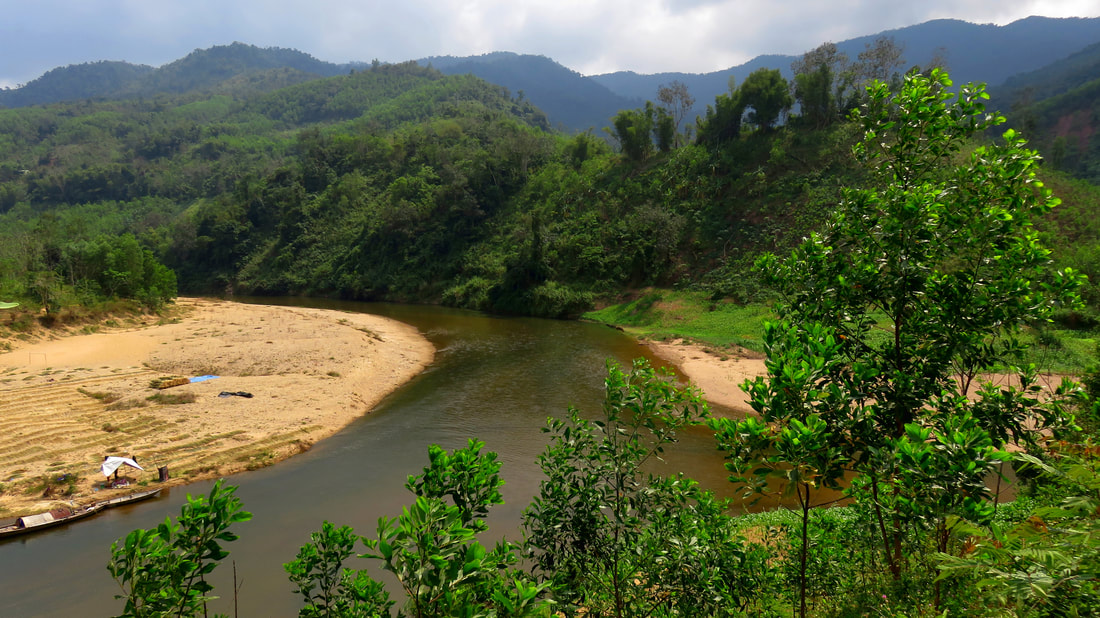
Generally the walls are the closest and most hemmed in for the first few kilometers. Soon after the Song A Ran confluence there is a small village on both side of the river. This village is populated by Co Tu ethnic people, and if you see the locals please be friendly and wave back! After the village is gone, the river slowly makes its way around a large bottom, this one with a government compound perched above the river. This camp, Suon Guia, exists to service the large coal mines that sit on the ridge tops above here to the south. Its also a marker that you approaching the Sediment Section, a short section where the river is narrowed and flounders through some large alluvial fans that have spilled into the river from two consecutive side creeks. These sediment flows are caused by the same coal mines at Suon Guia high above.

After the Sediment Section, the river goes around one more switchback bend, before the end of the run comes up in the form of a small bridge over the river. This technically isn't the "end" of the river, as it does flow for another 8 or 9 kilometers across the flood plains until it joins the Vu Gia River in Dai Lanh. However, this last section is miserably flat, shallow, and slow. Expect lots of channel dodging and carrying across the mud when you choose wrong, and the level of trash both in the stream and on the side of the stream increases noticeably in this section. In addition, the first two kilometers of this "lower lower" stretch cut through the An Diem Prison Complex, and its very likely this is not legal to do so. Because of all these factors, its best to take out just before the Song Vang confluence. You won't regret it.
More to come soon....
|
All photos copyright Kit Davidson.
|
